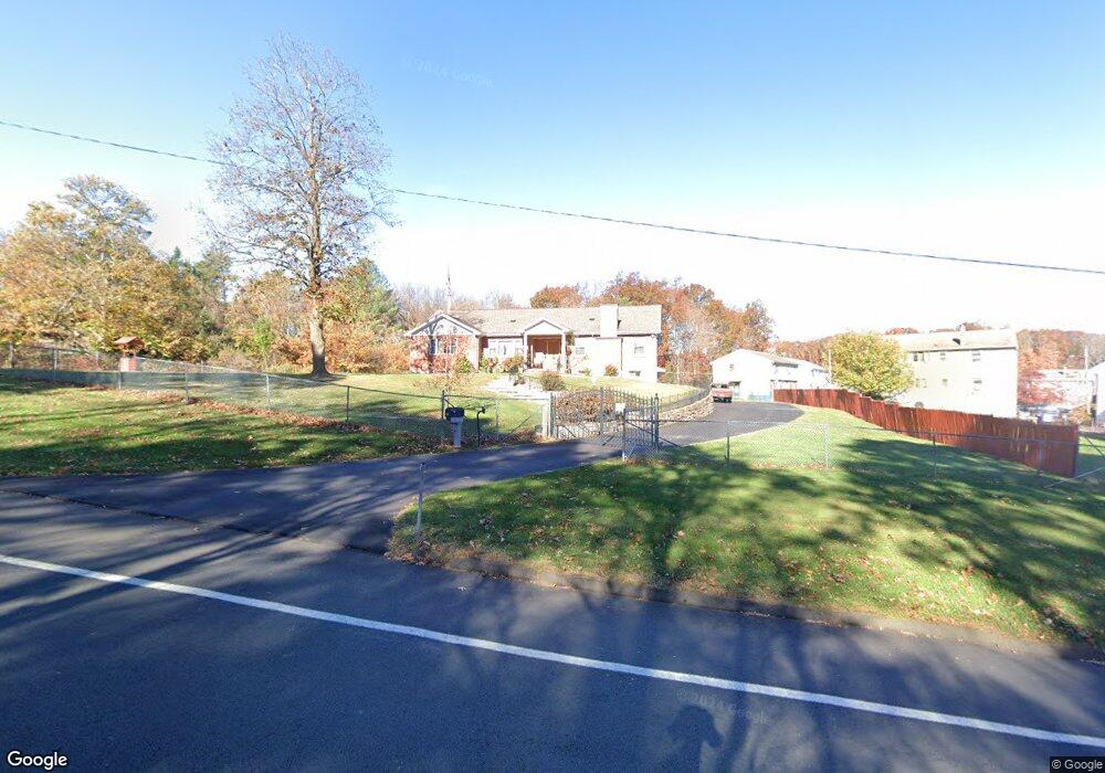
210 Blake Rd New Britain, CT 06053
Estimated Value: $316,000 - $395,000
3
Beds
2
Baths
1,932
Sq Ft
$185/Sq Ft
Est. Value
About This Home
This home is located at 210 Blake Rd, New Britain, CT 06053 and is currently estimated at $357,162, approximately $184 per square foot. 210 Blake Rd is a home located in Hartford County with nearby schools including Holmes School, Pulaski Middle School, and St. Francis of Assisi Middle School.
Ownership History
Date
Name
Owned For
Owner Type
Purchase Details
Closed on
Apr 28, 2009
Sold by
Sanchez Angel L
Bought by
Ceberek Stanislaw and Ceberek Wladyslawa
Current Estimated Value
Home Financials for this Owner
Home Financials are based on the most recent Mortgage that was taken out on this home.
Original Mortgage
$120,000
Outstanding Balance
$76,145
Interest Rate
4.93%
Estimated Equity
$281,017
Purchase Details
Closed on
Jan 28, 2005
Sold by
Bee Joanna
Bought by
Sanchez Angel L
Home Financials for this Owner
Home Financials are based on the most recent Mortgage that was taken out on this home.
Original Mortgage
$175,900
Interest Rate
6.25%
Create a Home Valuation Report for This Property
The Home Valuation Report is an in-depth analysis detailing your home's value as well as a comparison with similar homes in the area
Home Values in the Area
Average Home Value in this Area
Purchase History
| Date | Buyer | Sale Price | Title Company |
|---|---|---|---|
| Ceberek Stanislaw | $160,000 | -- | |
| Sanchez Angel L | $219,900 | -- |
Source: Public Records
Mortgage History
| Date | Status | Borrower | Loan Amount |
|---|---|---|---|
| Open | Sanchez Angel L | $120,000 | |
| Previous Owner | Sanchez Angel L | $58,000 | |
| Previous Owner | Sanchez Angel L | $231,800 | |
| Previous Owner | Sanchez Angel L | $175,900 |
Source: Public Records
Tax History Compared to Growth
Tax History
| Year | Tax Paid | Tax Assessment Tax Assessment Total Assessment is a certain percentage of the fair market value that is determined by local assessors to be the total taxable value of land and additions on the property. | Land | Improvement |
|---|---|---|---|---|
| 2025 | $8,719 | $222,530 | $86,660 | $135,870 |
| 2024 | $8,810 | $222,530 | $86,660 | $135,870 |
| 2023 | $8,518 | $222,530 | $86,660 | $135,870 |
| 2022 | $7,100 | $143,430 | $39,900 | $103,530 |
| 2021 | $7,100 | $143,430 | $39,900 | $103,530 |
| 2020 | $7,243 | $143,430 | $39,900 | $103,530 |
| 2019 | $7,243 | $143,430 | $39,900 | $103,530 |
| 2018 | $7,243 | $143,430 | $39,900 | $103,530 |
| 2017 | $7,321 | $144,970 | $36,400 | $108,570 |
| 2016 | $7,321 | $144,970 | $36,400 | $108,570 |
| 2015 | $7,104 | $144,970 | $36,400 | $108,570 |
| 2014 | $7,104 | $144,970 | $36,400 | $108,570 |
Source: Public Records
Map
Nearby Homes
- 83 Kim Dr
- 258 Eddy Glover Blvd
- 394 Mcclintock St
- 34 Oneida St
- 34 Hutchinson St
- 335 Commonwealth Ave
- 67 Eastwick Rd
- 108 Commonwealth Ave
- 187 Miriam Rd
- 410 Farmington Ave Unit O6
- 53 Park Dr
- 57 Merigold Dr
- 59 Heather Ln
- 84 Barbour Rd
- 148 Governor St
- 910 Farmington Ave
- 16 Vincent Ave
- 152 Oakland Ave
- 234 Pierremount Ave
- 91 Brighton St