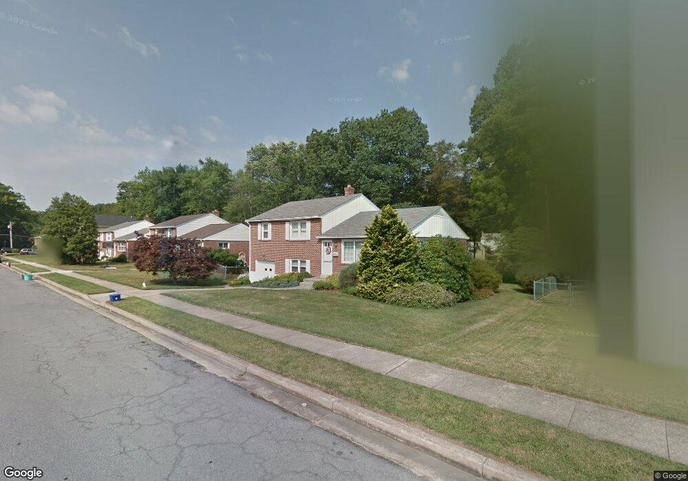
210 Brookside Dr Catonsville, MD 21228
Estimated Value: $431,724 - $507,000
Studio
1
Bath
1,971
Sq Ft
$245/Sq Ft
Est. Value
About This Home
This home is located at 210 Brookside Dr, Catonsville, MD 21228 and is currently estimated at $483,431, approximately $245 per square foot. 210 Brookside Dr is a home located in Baltimore County with nearby schools including Westchester Elementary School, Catonsville Middle School, and Catonsville High School.
Ownership History
Date
Name
Owned For
Owner Type
Purchase Details
Closed on
Jun 14, 2019
Sold by
Clary William L and Clary William J
Bought by
Moree Kendall Nicole
Current Estimated Value
Home Financials for this Owner
Home Financials are based on the most recent Mortgage that was taken out on this home.
Original Mortgage
$342,000
Outstanding Balance
$298,979
Interest Rate
3.82%
Mortgage Type
New Conventional
Estimated Equity
$184,452
Purchase Details
Closed on
Apr 26, 2019
Sold by
Bryant Irene M and Bryant Rebecca A
Bought by
Clary William L
Home Financials for this Owner
Home Financials are based on the most recent Mortgage that was taken out on this home.
Original Mortgage
$342,000
Outstanding Balance
$298,979
Interest Rate
3.82%
Mortgage Type
New Conventional
Estimated Equity
$184,452
Purchase Details
Closed on
Mar 27, 2006
Sold by
Bryant Irene M
Bought by
Bryant Irene M
Purchase Details
Closed on
Dec 28, 2005
Sold by
Bryant Irene M
Bought by
Bryant Irene M
Create a Home Valuation Report for This Property
The Home Valuation Report is an in-depth analysis detailing your home's value as well as a comparison with similar homes in the area
Home Values in the Area
Average Home Value in this Area
Purchase History
| Date | Buyer | Sale Price | Title Company |
|---|---|---|---|
| Moree Kendall Nicole | $380,000 | Mid Atlantic Setmnt Svcs Llc | |
| Clary William L | $255,000 | Mid Atlantic Setmnt Svcs Llc | |
| Bryant Irene M | -- | -- | |
| Bryant Irene M | -- | -- |
Source: Public Records
Mortgage History
| Date | Status | Borrower | Loan Amount |
|---|---|---|---|
| Open | Moree Kendall Nicole | $342,000 |
Source: Public Records
Tax History
| Year | Tax Paid | Tax Assessment Tax Assessment Total Assessment is a certain percentage of the fair market value that is determined by local assessors to be the total taxable value of land and additions on the property. | Land | Improvement |
|---|---|---|---|---|
| 2025 | $4,504 | $348,400 | -- | -- |
| 2024 | $4,504 | $324,600 | $126,600 | $198,000 |
| 2023 | $2,201 | $314,233 | $0 | $0 |
| 2022 | $4,239 | $303,867 | $0 | $0 |
| 2021 | $3,655 | $293,500 | $126,600 | $166,900 |
| 2020 | $3,817 | $281,767 | $0 | $0 |
| 2019 | $3,273 | $270,033 | $0 | $0 |
| 2018 | $3,609 | $258,300 | $90,600 | $167,700 |
| 2017 | $3,253 | $251,500 | $0 | $0 |
| 2016 | $2,758 | $244,700 | $0 | $0 |
| 2015 | $2,758 | $237,900 | $0 | $0 |
| 2014 | $2,758 | $237,900 | $0 | $0 |
Source: Public Records
Map
Nearby Homes
- 1900 Lismore Ln
- 7 Overhill Rd
- 2029 Norhurst Way S
- 124 Oakdale Ave
- 608 Meyers Dr
- 29 Upman Ct
- 627 Meyers Dr
- 627 Meyers Dr Unit PARCEL 108
- 122 Wyndcrest Ave
- 28 Bryans Mill Way
- 343 N Beaumont Ave
- 2 Park Dr
- 201 Suter Rd
- 0 Melvin Ave
- 2004 Westchester Ave
- 6040 Old Frederick Rd
- 206 Winters Ln
- 409 Oak Ct
- 15 Shipley Ave
- 1104 Lisadale Cir Unit 1D
- 208 Brookside Dr
- 212 Brookside Dr
- 206 Brookside Dr
- 211 Brookside Dr
- 213 Brookside Dr
- 209 Brookside Dr
- 2021 Rollingwood Rd
- 2023 Rollingwood Rd
- 215 Brookside Dr
- 207 Brookside Dr
- 2019 Rollingwood Rd
- 204 Brookside Dr
- 2025 Rollingwood Rd
- 216 Brookside Dr
- 217 Brookside Dr
- 210 Rollingbrook Way
- 212 Rollingbrook Way
- 2017 Rollingwood Rd
- 2027 Rollingwood Rd
- 205 Brookside Dr
Your Personal Tour Guide
Ask me questions while you tour the home.