210 Buck Branch Dr Dahlonega, GA 30533
Estimated Value: $383,000 - $743,000
--
Bed
3
Baths
1,320
Sq Ft
$395/Sq Ft
Est. Value
About This Home
This home is located at 210 Buck Branch Dr, Dahlonega, GA 30533 and is currently estimated at $521,358, approximately $394 per square foot. 210 Buck Branch Dr is a home located in Lumpkin County with nearby schools including Clay County Middle School and Lumpkin County High School.
Ownership History
Date
Name
Owned For
Owner Type
Purchase Details
Closed on
Nov 7, 2016
Sold by
Michael M
Bought by
Bird Paige and Bird Alex
Current Estimated Value
Purchase Details
Closed on
Mar 7, 2006
Sold by
Not Provided
Bought by
Black Michael and Black Pegi
Purchase Details
Closed on
Feb 27, 2006
Sold by
Not Provided
Bought by
Black Michael and Black Pegi
Purchase Details
Closed on
Jul 7, 2005
Sold by
Transue Russell C
Bought by
Black Michael
Purchase Details
Closed on
Aug 11, 1994
Bought by
Transue Russell C
Create a Home Valuation Report for This Property
The Home Valuation Report is an in-depth analysis detailing your home's value as well as a comparison with similar homes in the area
Home Values in the Area
Average Home Value in this Area
Purchase History
| Date | Buyer | Sale Price | Title Company |
|---|---|---|---|
| Bird Paige | -- | -- | |
| Black Michael | -- | -- | |
| Black Michael | -- | -- | |
| Black Michael | $356,000 | -- | |
| Transue Russell C | -- | -- |
Source: Public Records
Tax History Compared to Growth
Tax History
| Year | Tax Paid | Tax Assessment Tax Assessment Total Assessment is a certain percentage of the fair market value that is determined by local assessors to be the total taxable value of land and additions on the property. | Land | Improvement |
|---|---|---|---|---|
| 2024 | $46 | $169,772 | $79,772 | $90,000 |
| 2023 | $80 | $152,504 | $67,938 | $84,566 |
| 2022 | $145 | $129,257 | $56,617 | $72,640 |
| 2021 | $33 | $118,328 | $56,617 | $61,711 |
| 2020 | $3,249 | $114,504 | $54,252 | $60,252 |
| 2019 | $3,249 | $114,504 | $54,252 | $60,252 |
| 2018 | $3,042 | $107,227 | $54,252 | $52,975 |
| 2017 | $0 | $105,477 | $54,252 | $51,225 |
| 2016 | -- | $102,828 | $57,584 | $45,244 |
| 2015 | -- | $102,828 | $57,584 | $45,244 |
| 2014 | -- | $103,343 | $57,584 | $45,759 |
| 2013 | -- | $104,372 | $57,584 | $46,788 |
Source: Public Records
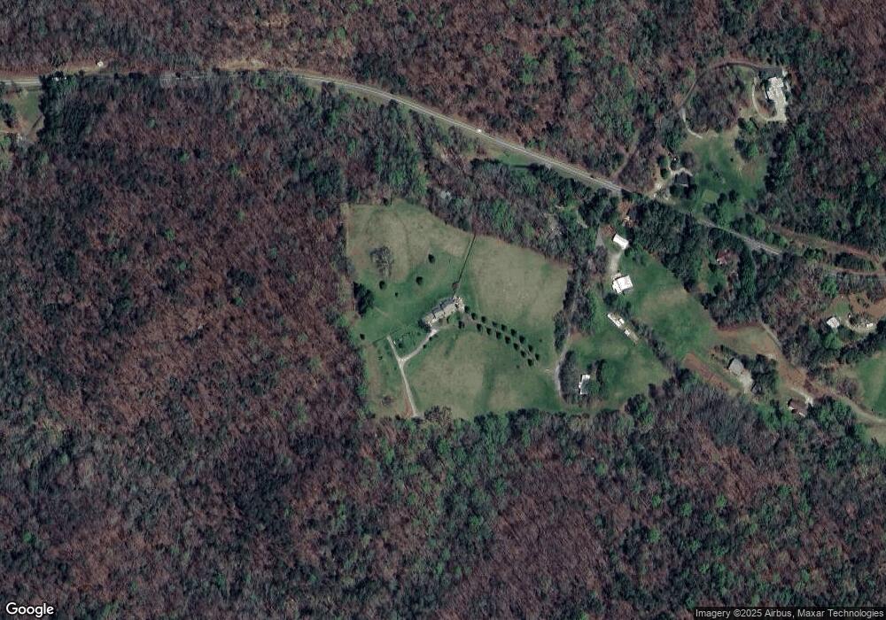
Map
Nearby Homes
- 0 Porter Springs Rd Unit 7685063
- 0 Porter Springs Rd Unit 10648400
- 496 Beaver Dam Rd
- 372 Porter Springs Rd
- 165 Porter Springs Rd
- 16 Welch Cir
- 83 Austin Ct
- 0 Arborwood Dr Unit 10645890
- 03 Kate Rd
- 1323 Cavender Creek Rd
- 202 Indian Trail
- 1437 Porter Springs Rd
- 0 Bearden Rd Unit 10598024
- 0 Bearden Rd Unit 7642996
- 34 Great Works Dr
- 45 Chestatee River Ridge
- 300 Mountain Ridge Dr
- 302 Pointe Cir
- 380 Copper Mill Rd
- 37 Maple Leaf Dr
- 2 Maple Leaf Dr
- 135 Buck Branch Dr
- 2952 Cavender Creek Rd
- 2933 Cavender Creek Rd
- 3018 Cavender Creek Rd
- 0 Homer Edge Cir
- 0 Homer Edge Cir Unit 8322635
- 146 Homer Edge Cir
- 3162 Cavender Creek Rd
- 2959 Cavender Creek Rd
- 2542 Cavender Creek Rd
- 3271 Cavender Creek Rd
- 3299 Cavender Creek Rd
- 24 Springleaf Rd
- 138 Springleaf Rd
- 2032 Rock House Rd
- 3354 Cavender Creek Rd
- 209 Springleaf Rd
- 3385 Cavender Creek Rd