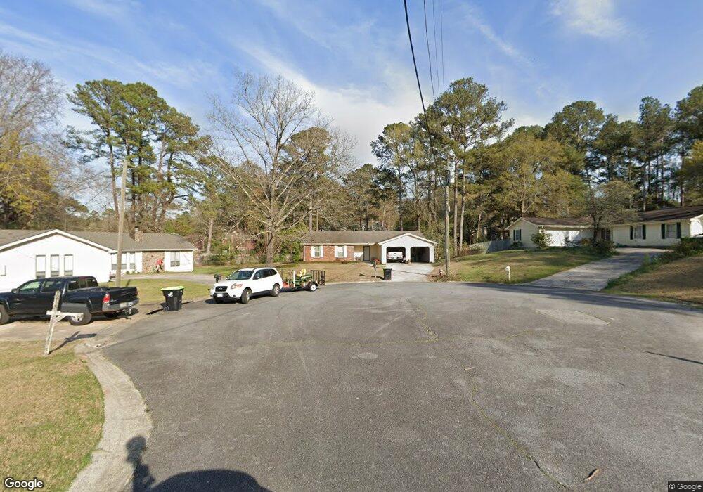
210 Buckskin Dr Warner Robins, GA 31088
Estimated Value: $191,287 - $216,000
--
Bed
2
Baths
1,557
Sq Ft
$131/Sq Ft
Est. Value
About This Home
This home is located at 210 Buckskin Dr, Warner Robins, GA 31088 and is currently estimated at $204,572, approximately $131 per square foot. 210 Buckskin Dr is a home located in Houston County with nearby schools including Shirley Hills Elementary School, Huntington Middle School, and Warner Robins High School.
Ownership History
Date
Name
Owned For
Owner Type
Purchase Details
Closed on
Jul 3, 2006
Sold by
Smith Mozelle B
Bought by
Smith Michael L
Current Estimated Value
Purchase Details
Closed on
Sep 22, 1989
Sold by
Carter Charlie P and Carter Ellen*
Bought by
Smith Michael L and Catherine G*
Purchase Details
Closed on
Jun 18, 1985
Sold by
Tritt Construction Co
Bought by
Carter Charlie P and Carter Ellen*
Purchase Details
Closed on
Apr 10, 1985
Sold by
World Development Co
Bought by
Tritt Construction Co
Create a Home Valuation Report for This Property
The Home Valuation Report is an in-depth analysis detailing your home's value as well as a comparison with similar homes in the area
Home Values in the Area
Average Home Value in this Area
Purchase History
| Date | Buyer | Sale Price | Title Company |
|---|---|---|---|
| Smith Michael L | -- | None Available | |
| Smith Michael L | $68,900 | -- | |
| Carter Charlie P | $59,000 | -- | |
| Tritt Construction Co | -- | -- |
Source: Public Records
Tax History Compared to Growth
Tax History
| Year | Tax Paid | Tax Assessment Tax Assessment Total Assessment is a certain percentage of the fair market value that is determined by local assessors to be the total taxable value of land and additions on the property. | Land | Improvement |
|---|---|---|---|---|
| 2024 | $1,792 | $68,440 | $9,600 | $58,840 |
| 2023 | $1,477 | $58,440 | $8,000 | $50,440 |
| 2022 | $1,000 | $52,640 | $8,000 | $44,640 |
| 2021 | $1,025 | $46,320 | $6,000 | $40,320 |
| 2020 | $900 | $40,760 | $6,000 | $34,760 |
| 2019 | $900 | $40,760 | $6,000 | $34,760 |
| 2018 | $845 | $38,360 | $6,000 | $32,360 |
| 2017 | $846 | $38,360 | $6,000 | $32,360 |
| 2016 | $844 | $38,240 | $6,000 | $32,240 |
| 2015 | -- | $38,240 | $6,000 | $32,240 |
| 2014 | -- | $38,240 | $6,000 | $32,240 |
| 2013 | -- | $38,240 | $6,000 | $32,240 |
Source: Public Records
Map
Nearby Homes
- 213 Buckskin Dr
- 116 Elk Run
- 103 Sandy Valley Dr
- 616 Woods Edge Way
- 306 Thornwood Dr
- 104 Alton Woods Dr
- 121 Chadwyck Cir
- 302 Creek Ridge Dr
- 102 Gatlin Ct
- 203 Lattice Bend
- 401 Feagin Mill Rd
- 106 Idlewood Ct
- 201 Bayside Dr
- 109 Idlewood Ct
- 209 Mossy Ridge
- 303 Gray Fox Crossing
- 102 Brookhaven Dr
- 1120 Kathryn Ryals Rd
- 102 Meadow Ct
- 208 Buckskin Dr
- 213 Ridgestone Dr
- 301 Ridgestone Dr
- 211 Ridgestone Dr
- 206 Buckskin Dr
- 215 Buckskin Dr
- 204 Buckskin Dr
- 209 Ridgestone Dr
- 303 Ridgestone Dr
- 112 Elk Run
- 114 Elk Run
- 110 Elk Run
- 302 Ridgestone Dr
- 208 Ridgestone Dr
- 305 Ridgestone Dr
- 207 Ridgestone Dr
- 211 Buckskin Dr
- 108 Elk Run
- 306 Ridgestone Dr
- 118 Elk Run