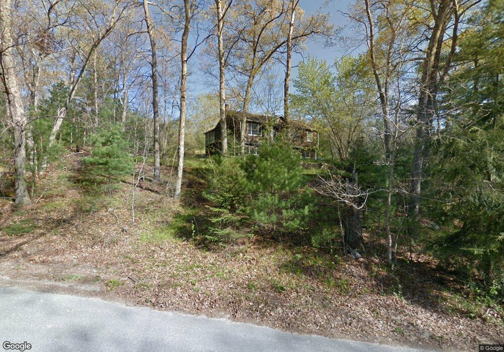
210 Byron Randall Rd North Scituate, RI 02857
Bishop Heights NeighborhoodEstimated Value: $493,260 - $598,000
3
Beds
2
Baths
1,938
Sq Ft
$281/Sq Ft
Est. Value
About This Home
This home is located at 210 Byron Randall Rd, North Scituate, RI 02857 and is currently estimated at $543,815, approximately $280 per square foot. 210 Byron Randall Rd is a home located in Providence County with nearby schools including North Scituate School, Scituate Middle School, and Scituate High School.
Ownership History
Date
Name
Owned For
Owner Type
Purchase Details
Closed on
May 19, 1994
Sold by
Leandro Donald J and Leandro Jeanne
Bought by
Oneill Richard F and Oneill Cheryl
Current Estimated Value
Home Financials for this Owner
Home Financials are based on the most recent Mortgage that was taken out on this home.
Original Mortgage
$145,000
Interest Rate
8.44%
Create a Home Valuation Report for This Property
The Home Valuation Report is an in-depth analysis detailing your home's value as well as a comparison with similar homes in the area
Home Values in the Area
Average Home Value in this Area
Purchase History
| Date | Buyer | Sale Price | Title Company |
|---|---|---|---|
| Oneill Richard F | $145,000 | -- |
Source: Public Records
Mortgage History
| Date | Status | Borrower | Loan Amount |
|---|---|---|---|
| Closed | Oneill Richard F | $145,000 |
Source: Public Records
Tax History Compared to Growth
Tax History
| Year | Tax Paid | Tax Assessment Tax Assessment Total Assessment is a certain percentage of the fair market value that is determined by local assessors to be the total taxable value of land and additions on the property. | Land | Improvement |
|---|---|---|---|---|
| 2025 | $5,369 | $309,800 | $116,900 | $192,900 |
| 2024 | $5,369 | $309,800 | $116,900 | $192,900 |
| 2023 | $5,192 | $309,800 | $116,900 | $192,900 |
| 2022 | $5,075 | $309,800 | $116,900 | $192,900 |
| 2021 | $5,110 | $273,400 | $97,000 | $176,400 |
| 2020 | $4,995 | $273,400 | $97,000 | $176,400 |
| 2019 | $4,172 | $273,400 | $97,000 | $176,400 |
| 2018 | $4,632 | $238,900 | $85,100 | $153,800 |
| 2017 | $4,496 | $238,900 | $85,100 | $153,800 |
| 2016 | $4,310 | $238,900 | $85,100 | $153,800 |
| 2015 | $4,142 | $216,200 | $78,900 | $137,300 |
| 2014 | $4,103 | $216,200 | $78,900 | $137,300 |
Source: Public Records
Map
Nearby Homes
- 0 Byron Randall Rd
- 4 Byron Randall Rd
- 196 William Henry Rd
- 0 Peck Hill Rd
- 23 Peck Hill Rd
- 169 Central Ave
- 1338 Central Ave
- 10 Justin Ct
- 0 Central Ave Lot 2
- 5 Braeburn Cir
- 191 Pippin Orchard Rd
- 46 Woodsong Dr
- 0 W Bluebird Ln
- 0 Country View Ln
- 20 Country View Ln
- 99 Hilltop Dr
- 0 Autumn Dr
- 63 Shore Dr
- 58 Highland Terrace
- 136 White Birch Cir
- 216 Byron Randall Rd
- 201 Byron Randall Rd
- 224 Byron Randall Rd
- 234 Byron Randall Rd
- 246 Byron Randall Rd
- 250 Byron Randall Rd
- 254 Byron Randall Rd
- 34 Ledgefield Rd
- 274 Byron Randall Rd
- 30 Ledgefield Rd
- 282 Byron Randall Rd
- 81 William Henry Rd
- 285 Byron Randall Rd
- 109 William Henry Rd
- 298 Byron Randall Rd
- 20 Ledgefield Rd
- 293 Byron Randall Rd
- 83 William Henry Rd
- 89 William Henry Rd
- 306 Byron Randall Rd