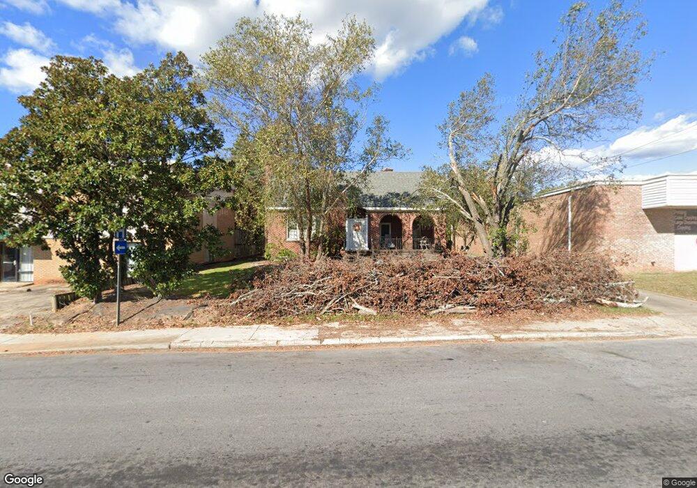
210 Cambridge Ave W Greenwood, SC 29646
Estimated Value: $207,547
--
Bed
--
Bath
2,405
Sq Ft
$86/Sq Ft
Est. Value
About This Home
This home is located at 210 Cambridge Ave W, Greenwood, SC 29646 and is currently estimated at $207,547, approximately $86 per square foot. 210 Cambridge Ave W is a home located in Greenwood County with nearby schools including Merrywood Elementary School, Northside Middle School, and Greenwood High School.
Ownership History
Date
Name
Owned For
Owner Type
Purchase Details
Closed on
Oct 7, 2021
Sold by
Harbit Claudia Bolen and 210 West Cambridge Ave Propert
Bought by
Mckinney Philip M
Current Estimated Value
Home Financials for this Owner
Home Financials are based on the most recent Mortgage that was taken out on this home.
Original Mortgage
$149,625
Outstanding Balance
$136,444
Interest Rate
2.8%
Mortgage Type
New Conventional
Estimated Equity
$71,103
Create a Home Valuation Report for This Property
The Home Valuation Report is an in-depth analysis detailing your home's value as well as a comparison with similar homes in the area
Home Values in the Area
Average Home Value in this Area
Purchase History
| Date | Buyer | Sale Price | Title Company |
|---|---|---|---|
| Mckinney Philip M | $157,500 | None Available |
Source: Public Records
Mortgage History
| Date | Status | Borrower | Loan Amount |
|---|---|---|---|
| Open | Mckinney Philip M | $149,625 |
Source: Public Records
Tax History Compared to Growth
Tax History
| Year | Tax Paid | Tax Assessment Tax Assessment Total Assessment is a certain percentage of the fair market value that is determined by local assessors to be the total taxable value of land and additions on the property. | Land | Improvement |
|---|---|---|---|---|
| 2024 | $4,128 | $9,000 | $0 | $0 |
| 2023 | $4,128 | $9,000 | $0 | $0 |
| 2022 | $4,071 | $9,000 | $0 | $0 |
| 2021 | $4,071 | $3,800 | $0 | $0 |
| 2020 | $557 | $3,800 | $0 | $0 |
| 2019 | $553 | $3,800 | $0 | $0 |
| 2018 | $541 | $95,000 | $65,600 | $29,400 |
| 2017 | $541 | $95,000 | $65,600 | $29,400 |
| 2016 | $541 | $95,000 | $65,600 | $29,400 |
| 2015 | $529 | $95,000 | $65,600 | $29,400 |
| 2014 | $527 | $3,800 | $0 | $0 |
| 2010 | -- | $95,000 | $65,600 | $29,400 |
Source: Public Records
Map
Nearby Homes
- 49 Acres Bypass 72 W
- Tupelo Plan at Bronson Ridge
- 107 Burberry Circle Lt 19
- 203 Oristo Dr
- 210 Burberry Circle Lot 60
- 111 Burberry Circle Lot 21
- 128 Burberry Circle Lot 12
- Sequoia Plan at Bronson Ridge
- 112 Burberry Cir Lot 6
- 110 Ero Dr
- Spruce Plan at Bronson Ridge
- Aspen Plan at Bronson Ridge
- Cedar Plan at Bronson Ridge
- 106 Farnum Rd
- 126
- 108 Ero Dr
- 209 Farnum Rd
- 106 Ero Dr
- 0 S Hwy 178 Unit 134648
- 109 Burberry Circle Lot 20
- 224 Cambridge Ave W
- 49 N Acres Rd
- 207 Stanley Ave
- - Calhoun Ave
- 136 Lander St
- 215 Stanley Ave
- 411 Durst Ave W
- 217 Stanley Ave
- 409 Durst Ave W
- 1.67 AC Calhoun Ave and Charles St
- 304 Calhoun Ave
- 159 W Cambridge Ave
- 140 Cambridge Ave W
- 405 Durst Ave W
- 00 Calhoun Ave
- 137 Lander St
- 132 Cambridge Ave W
- 403 Durst Ave W
- 136 Cambridge Ave W Unit 14
- 136 Cambridge Ave W