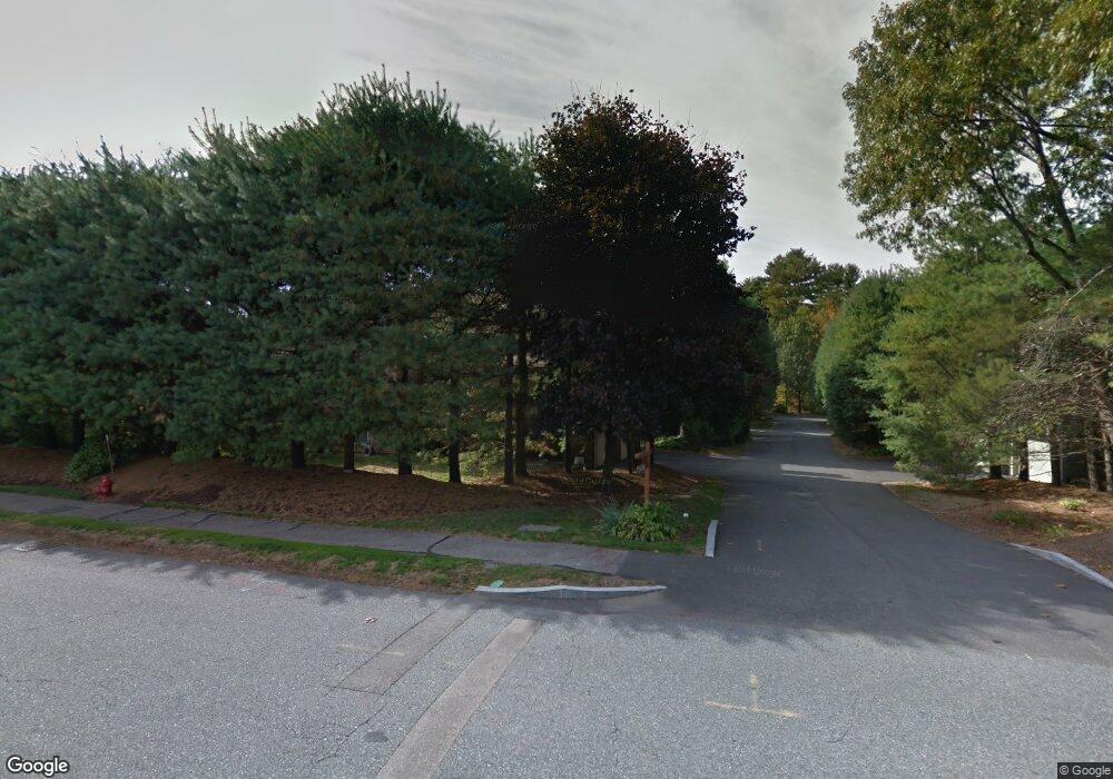
210 Captain Eames Cir Ashland, MA 01721
Estimated Value: $567,000 - $647,000
2
Beds
3
Baths
1,758
Sq Ft
$338/Sq Ft
Est. Value
About This Home
This home is located at 210 Captain Eames Cir, Ashland, MA 01721 and is currently estimated at $594,153, approximately $337 per square foot. 210 Captain Eames Cir is a home located in Middlesex County with nearby schools including William Pittaway Elementary School, Henry E. Warren Elementary School, and David Mindess Elementary School.
Ownership History
Date
Name
Owned For
Owner Type
Purchase Details
Closed on
Jan 20, 2021
Sold by
Stolper Yuri and Stolper Yevgeniya
Bought by
Stolper Roman
Current Estimated Value
Purchase Details
Closed on
Feb 24, 1995
Sold by
Dasilva Gilson F
Bought by
Advani Mahendra P
Purchase Details
Closed on
Apr 21, 1994
Sold by
Flynn David E and Flynn Jacqueline
Bought by
Dasilva Gilson F
Create a Home Valuation Report for This Property
The Home Valuation Report is an in-depth analysis detailing your home's value as well as a comparison with similar homes in the area
Home Values in the Area
Average Home Value in this Area
Purchase History
| Date | Buyer | Sale Price | Title Company |
|---|---|---|---|
| Stolper Roman | -- | None Available | |
| Advani Mahendra P | $148,000 | -- | |
| Dasilva Gilson F | $144,000 | -- |
Source: Public Records
Mortgage History
| Date | Status | Borrower | Loan Amount |
|---|---|---|---|
| Previous Owner | Dasilva Gilson F | $197,000 | |
| Previous Owner | Dasilva Gilson F | $197,300 |
Source: Public Records
Tax History Compared to Growth
Tax History
| Year | Tax Paid | Tax Assessment Tax Assessment Total Assessment is a certain percentage of the fair market value that is determined by local assessors to be the total taxable value of land and additions on the property. | Land | Improvement |
|---|---|---|---|---|
| 2025 | $6,398 | $501,000 | $0 | $501,000 |
| 2024 | $6,169 | $465,900 | $0 | $465,900 |
| 2023 | $5,734 | $416,400 | $0 | $416,400 |
| 2022 | $5,803 | $365,400 | $0 | $365,400 |
| 2021 | $5,540 | $347,764 | $0 | $347,764 |
| 2020 | $5,307 | $328,400 | $0 | $328,400 |
| 2019 | $4,974 | $305,500 | $0 | $305,500 |
| 2018 | $4,784 | $288,000 | $0 | $288,000 |
| 2017 | $4,516 | $270,400 | $0 | $270,400 |
| 2016 | $4,357 | $256,300 | $0 | $256,300 |
| 2015 | $4,312 | $249,260 | $0 | $249,260 |
| 2014 | $4,212 | $242,200 | $0 | $242,200 |
Source: Public Records
Map
Nearby Homes
- 343 Captain Eames Cir Unit 38-C
- 102 Captain Eames Cir
- 158 Algonquin Trail
- 45 Half Crown Cir
- 37 James Rd
- 146 E Union St
- 373 Eliot St
- 9 Adams Rd
- 25 Prospect St
- 2 Adams Rd Unit 2
- 63 Trailside Way Unit 63
- 1 Adams Rd
- 277 Meeting House Path
- 67 Spyglass Hill Dr
- 13 Washington Ave
- 26 Meeting House Path Unit 26
- 74 Meeting House Path
- 306 Trailside Way
- 638 Main St
- 8 Raymond Way
- 208 Captain Eames Cir
- 188 Captain Eames Cir
- 190 Captain Eames Cir
- 207 Captain Eames Cir
- 205 Captain Eames Cir
- 203 Captain Eames Cir
- 203 Captain Eames Cir Unit 203
- 198 Captain Eames Cir
- 218 Captain Eames Cir
- 216 Captain Eames Cir
- 196 Captain Eames Cir
- 216 Captain Eames Cir Unit 216
- 214 Captain Eames Cir
- 234 Captain Eames Cir
- 232 Captain Eames Cir
- 212 Captain Eames Cir
- 234 Captain Eames Cir Unit 234
- 234 Captain Eames Cir Unit C- 21
- 186 Captain Eames Cir
- 162 Captain Eames Cir