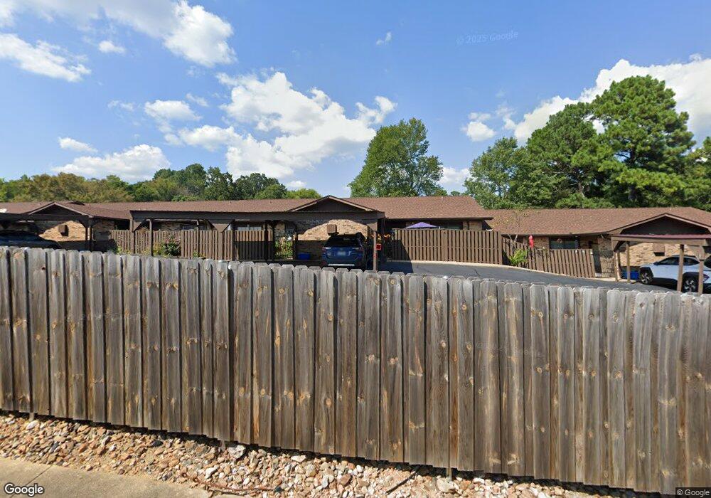
210 Carl Dr Unit E13 Hot Springs National Park, AR 71913
Estimated Value: $157,000 - $181,000
2
Beds
2
Baths
1,350
Sq Ft
$123/Sq Ft
Est. Value
About This Home
This home is located at 210 Carl Dr Unit E13, Hot Springs National Park, AR 71913 and is currently estimated at $166,158, approximately $123 per square foot. 210 Carl Dr Unit E13 is a home located in Garland County with nearby schools including Hot Springs World Class High School, Gospel Light Christian School, and St. John Elementary School.
Ownership History
Date
Name
Owned For
Owner Type
Purchase Details
Closed on
Oct 15, 2008
Sold by
Roberts Paul E and Roberts Nancy L
Bought by
Roberts Paul E and Roberts Nancy L
Current Estimated Value
Purchase Details
Closed on
Nov 16, 2006
Sold by
Brooks June A and Brooks Beverly E
Bought by
Roberts Paul E and Roberts Nancy L
Home Financials for this Owner
Home Financials are based on the most recent Mortgage that was taken out on this home.
Original Mortgage
$81,000
Interest Rate
6.26%
Mortgage Type
New Conventional
Purchase Details
Closed on
Jun 20, 2001
Sold by
Not Provided
Bought by
Brooks Beverly E and Brooks June
Purchase Details
Closed on
May 12, 1999
Sold by
Not Provided
Bought by
Mein Walter C and Mein Rosalind M
Purchase Details
Closed on
Nov 15, 1991
Sold by
Not Provided
Bought by
Scroggin Isaac W and Scroggin Martha B
Purchase Details
Closed on
Jan 1, 1901
Bought by
Thomas Martha Sue and 210 Carl Dr
Create a Home Valuation Report for This Property
The Home Valuation Report is an in-depth analysis detailing your home's value as well as a comparison with similar homes in the area
Home Values in the Area
Average Home Value in this Area
Purchase History
| Date | Buyer | Sale Price | Title Company |
|---|---|---|---|
| Roberts Paul E | -- | None Available | |
| Roberts Paul E | $90,000 | Lenders Title Company | |
| Brooks Beverly E | $70,000 | -- | |
| Mein Walter C | $70,000 | -- | |
| Scroggin Isaac W | $57,999 | -- | |
| Thomas Martha Sue | -- | -- |
Source: Public Records
Mortgage History
| Date | Status | Borrower | Loan Amount |
|---|---|---|---|
| Previous Owner | Roberts Paul E | $81,000 |
Source: Public Records
Tax History Compared to Growth
Tax History
| Year | Tax Paid | Tax Assessment Tax Assessment Total Assessment is a certain percentage of the fair market value that is determined by local assessors to be the total taxable value of land and additions on the property. | Land | Improvement |
|---|---|---|---|---|
| 2025 | $912 | $22,590 | $0 | $22,590 |
| 2024 | $836 | $22,590 | $0 | $22,590 |
| 2023 | $771 | $22,590 | $0 | $22,590 |
| 2022 | $707 | $22,590 | $0 | $22,590 |
| 2021 | $650 | $14,220 | $0 | $14,220 |
| 2020 | $650 | $14,220 | $0 | $14,220 |
| 2019 | $650 | $14,220 | $0 | $14,220 |
| 2018 | $650 | $14,220 | $0 | $14,220 |
| 2017 | $687 | $14,220 | $0 | $14,220 |
| 2016 | $727 | $15,060 | $0 | $15,060 |
| 2015 | $622 | $15,060 | $0 | $15,060 |
| 2014 | $621 | $15,060 | $0 | $0 |
Source: Public Records
Map
Nearby Homes
- 210 Carl Dr Unit D11
- 210 Carl Dr
- 312 Columbia Hills St
- 206 Mcmahan St
- 106 Mcmahan St
- 203 Lary St
- 213 Television Hill Rd
- 209 Mcmahan St
- 109 Indian Hills St
- 109 Indian Hills St Unit C7
- 109 Indian Hills St Unit B11
- 109 Indian Hills St St
- 118 Gray Cir
- 110 Clearview Loop
- 24 Edgemont Dr
- 115 Edwards Place
- 500 Pakis St
- 103 Forest View Cir
- TBD Central Ave
- 117 Ross St
- 210 Carl Dr Unit 225 creators pl
- 210 Carl Dr
- 210 Carl Dr Unit F2
- 210 Carl Dr Unit F1
- 210 Carl Dr Unit F14
- 210 Carl Dr Unit F13
- 210 Carl Dr Unit F12
- 210 Carl Dr Unit F11
- 210 Carl Dr Unit F10
- 210 Carl Dr Unit F9
- 210 Carl Dr Unit F8
- 210 Carl Dr Unit F7
- 210 Carl Dr Unit F6
- 210 Carl Dr Unit F5
- 210 Carl Dr Unit F4
- 210 Carl Dr Unit F3
- 210 Carl Dr Unit E14
- 210 Carl Dr Unit E12
- 210 Carl Dr Unit E11
- 210 Carl Dr Unit E10