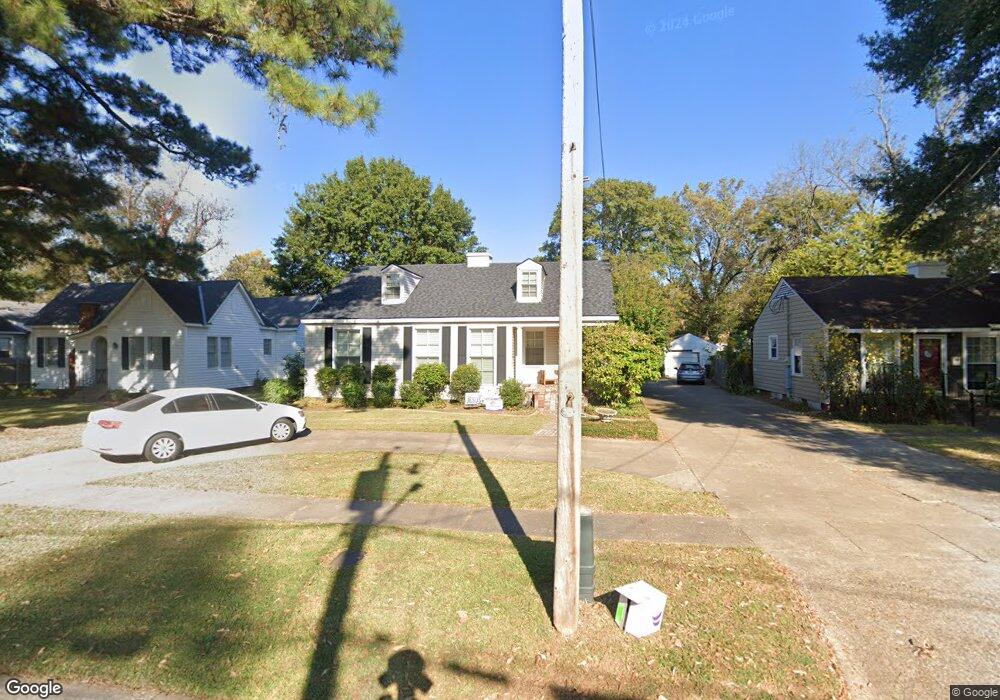
210 Carrollton Ave Shreveport, LA 71105
Broadmoor/Anderson Island/Shreve Isle NeighborhoodEstimated Value: $186,000 - $289,000
2
Beds
1
Bath
1,339
Sq Ft
$189/Sq Ft
Est. Value
About This Home
This home is located at 210 Carrollton Ave, Shreveport, LA 71105 and is currently estimated at $252,667, approximately $188 per square foot. 210 Carrollton Ave is a home located in Caddo Parish with nearby schools including Broadmoor STEM Academy, Fairfield Magnet School, and Eden Gardens Fundamental Elementary School.
Ownership History
Date
Name
Owned For
Owner Type
Purchase Details
Closed on
May 31, 2016
Sold by
Rogers Jedd Wesley and Smith Rogers Carrie Ann
Bought by
Geter Steven Paul and Ashworth Ainsley
Current Estimated Value
Purchase Details
Closed on
Jun 5, 2012
Sold by
Wroten Cheryl Ann Hawk and Wroten Billy Ray
Bought by
Rogers Jedd Wesley and Rogers Carrie Ann Smith
Home Financials for this Owner
Home Financials are based on the most recent Mortgage that was taken out on this home.
Original Mortgage
$206,625
Interest Rate
3.9%
Mortgage Type
Unknown
Create a Home Valuation Report for This Property
The Home Valuation Report is an in-depth analysis detailing your home's value as well as a comparison with similar homes in the area
Home Values in the Area
Average Home Value in this Area
Purchase History
| Date | Buyer | Sale Price | Title Company |
|---|---|---|---|
| Geter Steven Paul | $230,000 | First American Title | |
| Rogers Jedd Wesley | $217,500 | Multiple |
Source: Public Records
Mortgage History
| Date | Status | Borrower | Loan Amount |
|---|---|---|---|
| Previous Owner | Rogers Jedd Wesley | $206,625 |
Source: Public Records
Tax History Compared to Growth
Tax History
| Year | Tax Paid | Tax Assessment Tax Assessment Total Assessment is a certain percentage of the fair market value that is determined by local assessors to be the total taxable value of land and additions on the property. | Land | Improvement |
|---|---|---|---|---|
| 2024 | $3,200 | $20,525 | $2,325 | $18,200 |
| 2023 | $3,254 | $20,414 | $2,214 | $18,200 |
| 2022 | $3,254 | $20,414 | $2,214 | $18,200 |
| 2021 | $3,204 | $20,414 | $2,214 | $18,200 |
| 2020 | $3,204 | $20,414 | $2,214 | $18,200 |
| 2019 | $3,301 | $20,414 | $2,214 | $18,200 |
| 2018 | $1,663 | $20,414 | $2,214 | $18,200 |
| 2017 | $3,538 | $21,538 | $2,214 | $19,324 |
| 2015 | $711 | $12,990 | $2,214 | $10,776 |
| 2014 | $717 | $12,990 | $2,210 | $10,780 |
| 2013 | -- | $12,990 | $2,210 | $10,780 |
Source: Public Records
Map
Nearby Homes
- 174 Carrollton Ave
- 230 Pennsylvania Ave
- 240 Carrollton Ave
- 202 Preston Ave
- 175 Pennsylvania Ave
- 153 Carrollton Ave
- 147 Pennsylvania Ave
- 129 Carrollton Ave
- 246 Russell Ave
- 1916 Anniston Ave
- 142 Lynn Ave
- 1836 Bryan Place
- 271 Carrollton Ave
- 107 Preston Ave
- 187 Atlantic Ave
- 106 Leo Ave
- 245 Stuart Ave
- 110 Preston Ave
- 150 Justin Ave
- 194 Charles Ave
- 212 Carrollton Ave
- 208 Carrollton Ave
- 214 Carrollton Ave
- 209 Leo Ave
- 204 Carrollton Ave
- 207 Leo Ave
- 216 Carrollton Ave
- 213 Leo Ave
- 205 Leo Ave
- 202 Carrollton Ave
- 207 Carrollton Ave
- 211 Carrollton Ave
- 218 Carrollton Ave
- 215 Leo Ave
- 203 Leo Ave
- 205 Carrollton Ave
- 203 Carrollton Ave
- 201 Leo Ave
- 215 Carrollton Ave
- 220 Carrollton Ave