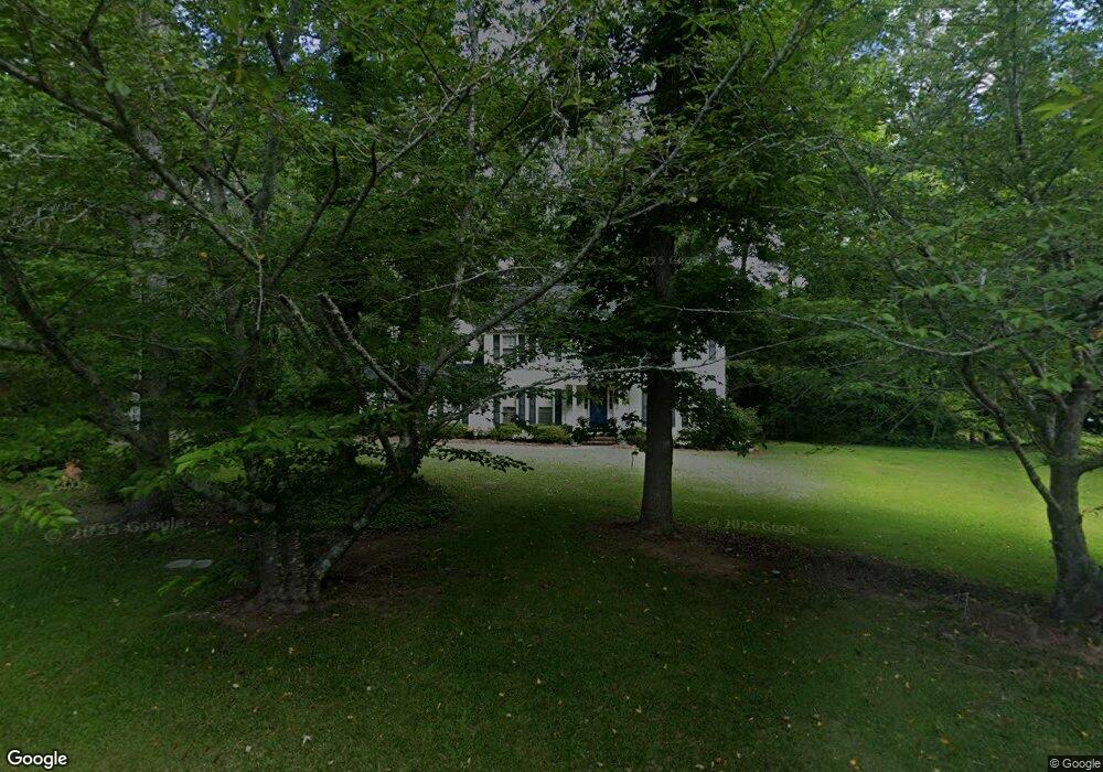
210 Castlegate Rd Macon, GA 31210
Estimated Value: $290,000 - $328,000
4
Beds
3
Baths
2,681
Sq Ft
$114/Sq Ft
Est. Value
About This Home
This home is located at 210 Castlegate Rd, Macon, GA 31210 and is currently estimated at $306,002, approximately $114 per square foot. 210 Castlegate Rd is a home located in Bibb County with nearby schools including Carter Elementary School, Howard Middle School, and Howard High School.
Ownership History
Date
Name
Owned For
Owner Type
Purchase Details
Closed on
Dec 2, 2005
Sold by
Shippey Pierce Jackson
Bought by
Shell Robert J and Shell Melanie P
Current Estimated Value
Home Financials for this Owner
Home Financials are based on the most recent Mortgage that was taken out on this home.
Original Mortgage
$148,000
Outstanding Balance
$81,547
Interest Rate
6.23%
Mortgage Type
New Conventional
Estimated Equity
$224,455
Purchase Details
Closed on
Aug 23, 1999
Create a Home Valuation Report for This Property
The Home Valuation Report is an in-depth analysis detailing your home's value as well as a comparison with similar homes in the area
Purchase History
| Date | Buyer | Sale Price | Title Company |
|---|---|---|---|
| Shell Robert J | $185,000 | None Available | |
| -- | $164,600 | -- |
Source: Public Records
Mortgage History
| Date | Status | Borrower | Loan Amount |
|---|---|---|---|
| Open | Shell Robert J | $148,000 |
Source: Public Records
Tax History
| Year | Tax Paid | Tax Assessment Tax Assessment Total Assessment is a certain percentage of the fair market value that is determined by local assessors to be the total taxable value of land and additions on the property. | Land | Improvement |
|---|---|---|---|---|
| 2025 | $2,077 | $91,516 | $16,560 | $74,956 |
| 2024 | $2,146 | $91,516 | $16,560 | $74,956 |
| 2023 | $1,689 | $91,516 | $16,560 | $74,956 |
| 2022 | $2,921 | $91,373 | $12,332 | $79,041 |
| 2021 | $2,894 | $83,165 | $11,210 | $71,955 |
| 2020 | $2,724 | $77,168 | $11,210 | $65,958 |
| 2019 | $2,468 | $70,051 | $10,089 | $59,962 |
| 2018 | $3,960 | $70,051 | $10,089 | $59,962 |
| 2017 | $2,087 | $62,707 | $10,921 | $51,786 |
| 2016 | $1,927 | $62,706 | $10,921 | $51,786 |
| 2015 | $2,996 | $68,162 | $13,651 | $54,511 |
| 2014 | $3,000 | $68,162 | $13,651 | $54,511 |
Source: Public Records
Map
Nearby Homes
- 113 Manor Row
- 331 Marjane Dr
- 5181 Zebulon Rd
- 131 Ashford Park
- 5914 Huddersfield Rd
- 163 Broadleaf Dr
- 103 Howard Oaks Dr
- 567 Billingswood Dr
- 155 Howard Oaks Dr
- 137 Senora Place
- 670 Middlesex Dr
- 4860 Forsyth Rd
- 112 Covington Place
- 175 Rivoli Landing
- 5104 Pine Ridge Dr
- 181 Rivoli Landing
- 139 Ashford Trace Ln
- 4939 Guerry Dr
- 650 Crawford Rd
- 200 Castlegate Rd
- S Dickens Dr
- 220 Castlegate Rd
- 0 Dickens Dr Unit 3130795
- 326 Dickens Dr S
- 165 Castlegate Rd
- 190 Castlegate Rd
- 324 Dickens Dr S
- 324 Dickens Dr S Unit South
- 205 Marjane Dr
- 155 Castlegate Rd
- 235 Marjane Dr
- 328 Dickens Dr S
- 230 Castlegate Rd
- 189 Marjane Dr
- 180 Castlegate Rd
- 320 Dickens Dr
- 145 Castlegate Rd
- 195 Coventry Cove
- 330 Dickens Dr S
Your Personal Tour Guide
Ask me questions while you tour the home.