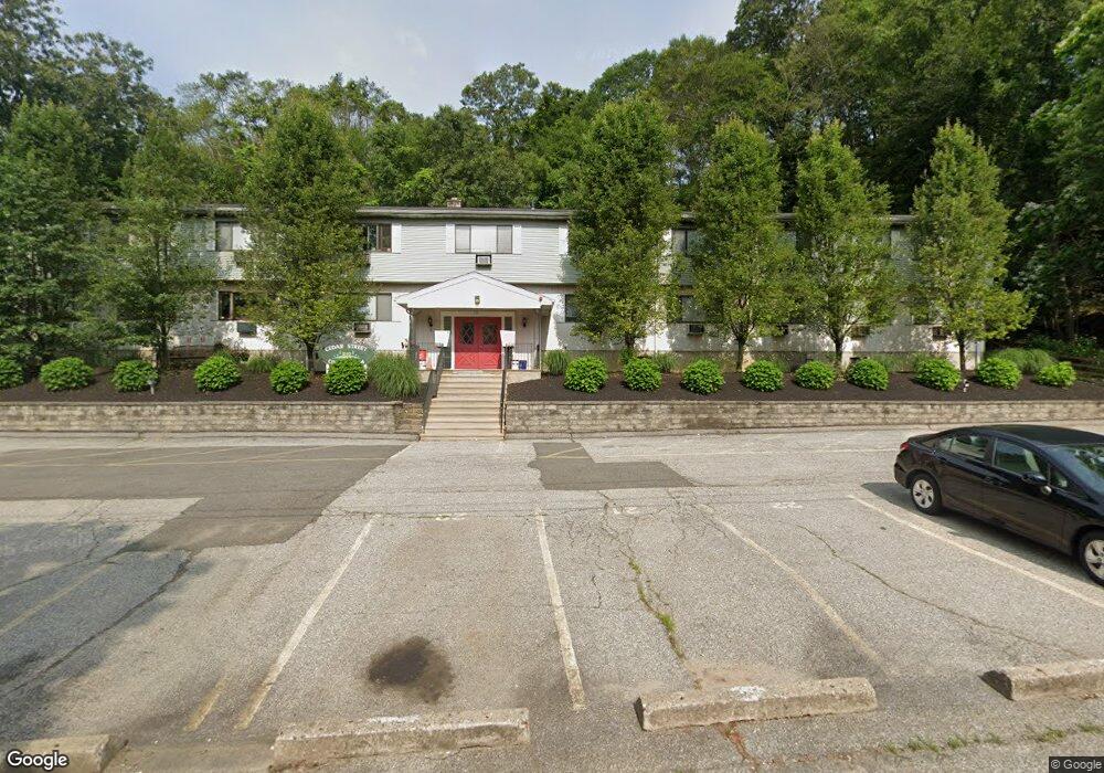
210 Cedar St Unit 22 Seymour, CT 06483
Estimated Value: $112,000 - $192,000
1
Bed
1
Bath
718
Sq Ft
$214/Sq Ft
Est. Value
About This Home
This home is located at 210 Cedar St Unit 22, Seymour, CT 06483 and is currently estimated at $153,780, approximately $214 per square foot. 210 Cedar St Unit 22 is a home located in New Haven County with nearby schools including Seymour Middle School, Seymour High School, and Assumption School.
Ownership History
Date
Name
Owned For
Owner Type
Purchase Details
Closed on
Mar 29, 2018
Sold by
Perone Mario
Bought by
Licari Properties Llc
Current Estimated Value
Home Financials for this Owner
Home Financials are based on the most recent Mortgage that was taken out on this home.
Original Mortgage
$36,000
Outstanding Balance
$30,579
Interest Rate
4.38%
Mortgage Type
New Conventional
Estimated Equity
$123,201
Purchase Details
Closed on
May 12, 2010
Sold by
Perone Isidoro
Bought by
Perone Mario
Purchase Details
Closed on
Dec 10, 2002
Sold by
Savino Dorothy
Bought by
Perone Isidoro and Perone Mario
Purchase Details
Closed on
Dec 20, 1996
Sold by
Glennon Tara J
Bought by
Savino Dorothy H
Create a Home Valuation Report for This Property
The Home Valuation Report is an in-depth analysis detailing your home's value as well as a comparison with similar homes in the area
Home Values in the Area
Average Home Value in this Area
Purchase History
| Date | Buyer | Sale Price | Title Company |
|---|---|---|---|
| Licari Properties Llc | $65,000 | -- | |
| Perone Mario | $25,000 | -- | |
| Perone Isidoro | $57,900 | -- | |
| Savino Dorothy H | $24,500 | -- |
Source: Public Records
Mortgage History
| Date | Status | Borrower | Loan Amount |
|---|---|---|---|
| Open | Savino Dorothy H | $36,000 | |
| Previous Owner | Savino Dorothy H | $82,500 |
Source: Public Records
Tax History
| Year | Tax Paid | Tax Assessment Tax Assessment Total Assessment is a certain percentage of the fair market value that is determined by local assessors to be the total taxable value of land and additions on the property. | Land | Improvement |
|---|---|---|---|---|
| 2025 | $2,047 | $73,850 | $0 | $73,850 |
| 2024 | $1,756 | $47,670 | $0 | $47,670 |
| 2023 | $1,715 | $47,670 | $0 | $47,670 |
| 2022 | $1,697 | $47,670 | $0 | $47,670 |
| 2021 | $1,655 | $47,670 | $0 | $47,670 |
| 2020 | $1,333 | $37,030 | $0 | $37,030 |
| 2019 | $1,333 | $37,030 | $0 | $37,030 |
| 2018 | $1,333 | $37,030 | $0 | $37,030 |
| 2017 | $1,333 | $37,030 | $0 | $37,030 |
| 2016 | $1,333 | $37,030 | $0 | $37,030 |
| 2015 | $1,366 | $39,480 | $0 | $39,480 |
| 2014 | -- | $39,480 | $0 | $39,480 |
Source: Public Records
Map
Nearby Homes
- 169 Derby Ave
- 50 Bissell Place
- 122 Derby Ave
- 278 S Main St
- 73 Micko Dr
- 48 Micko Dr
- 67 Micko Dr
- 71 Micko Dr
- 69 Micko Dr
- 28 Elmwood Dr
- 387 S Main St
- 29 Moss Ave Unit 23
- 3 Willow St
- 53-55 Maple St
- 11 Poplar Dr
- 26 Union St
- 68 New St
- 37-14, 49-1, 79-2, 7 Balance Rock Rd
- 93 Balance Rock Rd Unit 1
- 17 Grand St
- 210 Cedar St Unit 10
- 210 Cedar St Unit 28
- 210 Cedar St Unit 27
- 210 Cedar St Unit 26
- 210 Cedar St Unit 25
- 210 Cedar St Unit 24
- 210 Cedar St Unit 23
- 210 Cedar St Unit 21
- 210 Cedar St Unit 20
- 210 Cedar St Unit 19
- 210 Cedar St Unit 18
- 210 Cedar St Unit 17
- 210 Cedar St Unit 16
- 210 Cedar St Unit 15
- 210 Cedar St Unit 14
- 210 Cedar St Unit 12
- 210 Cedar St Unit 11
- 210 Cedar St Unit 9
- 210 Cedar St Unit 8
- 210 Cedar St Unit 7
Your Personal Tour Guide
Ask me questions while you tour the home.