210 Cedar Valley Rd Blue Ridge, GA 30513
Estimated Value: $542,000 - $961,000
--
Bed
2
Baths
3,060
Sq Ft
$232/Sq Ft
Est. Value
About This Home
This home is located at 210 Cedar Valley Rd, Blue Ridge, GA 30513 and is currently estimated at $709,504, approximately $231 per square foot. 210 Cedar Valley Rd is a home located in Fannin County with nearby schools including Fannin County High School.
Ownership History
Date
Name
Owned For
Owner Type
Purchase Details
Closed on
Jan 30, 2009
Sold by
Lawrence Family Limited
Bought by
Lawrence Daniel W
Current Estimated Value
Purchase Details
Closed on
Dec 8, 1998
Sold by
Lawrence Family Limi
Bought by
Lawrence Family Limi
Purchase Details
Closed on
Dec 30, 1997
Sold by
Lawrence Wayne
Bought by
Lawrence Family Limi
Purchase Details
Closed on
Mar 21, 1996
Sold by
Smith Harmon T
Bought by
Lawrence Wayne
Purchase Details
Closed on
Aug 3, 1993
Sold by
Smith H T
Bought by
Smith Harmon T
Purchase Details
Closed on
Jan 1, 1973
Bought by
Smith H T
Create a Home Valuation Report for This Property
The Home Valuation Report is an in-depth analysis detailing your home's value as well as a comparison with similar homes in the area
Home Values in the Area
Average Home Value in this Area
Purchase History
| Date | Buyer | Sale Price | Title Company |
|---|---|---|---|
| Lawrence Daniel W | $229,300 | -- | |
| Lawrence Family Limi | -- | -- | |
| Lawrence Family Limi | -- | -- | |
| Lawrence Wayne | $180,000 | -- | |
| Smith Harmon T | -- | -- | |
| Smith H T | -- | -- |
Source: Public Records
Tax History Compared to Growth
Tax History
| Year | Tax Paid | Tax Assessment Tax Assessment Total Assessment is a certain percentage of the fair market value that is determined by local assessors to be the total taxable value of land and additions on the property. | Land | Improvement |
|---|---|---|---|---|
| 2024 | $753 | $255,685 | $153,368 | $102,317 |
| 2023 | $542 | $234,478 | $153,368 | $81,110 |
| 2022 | $700 | $237,845 | $153,368 | $84,477 |
| 2021 | $712 | $202,515 | $141,791 | $60,724 |
| 2020 | $726 | $202,515 | $141,791 | $60,724 |
| 2019 | $738 | $202,515 | $141,791 | $60,724 |
| 2018 | $771 | $196,972 | $136,248 | $60,724 |
| 2017 | $3,485 | $196,972 | $136,248 | $60,724 |
| 2016 | $600 | $173,684 | $129,754 | $43,930 |
| 2015 | $1,448 | $89,492 | $45,562 | $43,930 |
| 2014 | $1,832 | $114,998 | $67,135 | $47,863 |
| 2013 | -- | $101,265 | $67,135 | $34,130 |
Source: Public Records
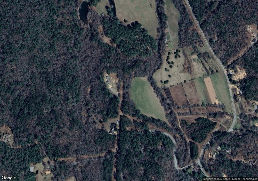
Map
Nearby Homes
- 5 Serenity View
- 237 Chestnut Gap Rd
- 150 Laurel Trace
- 2931 Highway 2
- LOT 1 High Knee Rd
- 2596 Highway 2
- 2695 Highway 2
- 2695 Highway 2 Unit 3
- 22.5 ac Highway 2 Unit TR 6
- 22.5 ac Highway 2
- 78 Brass Hill Rd Unit 146
- 78 Brass Hill Rd
- 908 Cashes Valley Rd
- 9 Quail Hollow
- 249 Sugar Mountain Rd
- 30 Laurel Branch
- 458 Sugar Mountain Rd
- 384 Mountain Highlands Ct
- 825 Price Rd
- LT 5 Sunrock Mountain Trace
- 206 Cedar Valley Rd
- 206 Cedar Valley
- 256 Cedar Valley Rd
- 37 Cedar Valley Trail
- 747 Chestnut Gap Rd
- 351 Confederate Dr
- 0 Ironwood Ln Unit 144206
- 0 Ironwood Ln
- 365 Cedar Valley Rd
- 471 Cedar Valley Rd
- 885 Chestnut Gap Rd
- 885 Chestnut Gap Rd
- 557 Chestnut Gap Rd
- 953 Chestnut Gap Rd
- 845 Chestnut Gap Rd
- 987 Chestnut Gap Rd
- 484 Chestnut Gap Rd
- 462 Cedar Valley Rd
- 161 Cedar Valley Trail
- 1160 Chestnut Gap Rd