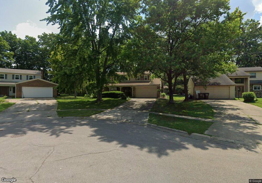
210 Cedarbrook Dr Loveland, OH 45140
Estimated Value: $390,876 - $439,000
4
Beds
3
Baths
2,130
Sq Ft
$192/Sq Ft
Est. Value
About This Home
This home is located at 210 Cedarbrook Dr, Loveland, OH 45140 and is currently estimated at $409,219, approximately $192 per square foot. 210 Cedarbrook Dr is a home located in Hamilton County with nearby schools including Loveland Intermediate School, Loveland Elementary School, and Loveland Primary School.
Ownership History
Date
Name
Owned For
Owner Type
Purchase Details
Closed on
Nov 19, 2018
Sold by
Hem Dan
Bought by
Brammer Nicholas G and Brammer Jaycee
Current Estimated Value
Home Financials for this Owner
Home Financials are based on the most recent Mortgage that was taken out on this home.
Original Mortgage
$135,009
Interest Rate
4.8%
Mortgage Type
FHA
Create a Home Valuation Report for This Property
The Home Valuation Report is an in-depth analysis detailing your home's value as well as a comparison with similar homes in the area
Home Values in the Area
Average Home Value in this Area
Purchase History
| Date | Buyer | Sale Price | Title Company |
|---|---|---|---|
| Brammer Nicholas G | $137,500 | Mattingly Ford Title Service |
Source: Public Records
Mortgage History
| Date | Status | Borrower | Loan Amount |
|---|---|---|---|
| Previous Owner | Brammer Nicholas G | $135,009 |
Source: Public Records
Tax History Compared to Growth
Tax History
| Year | Tax Paid | Tax Assessment Tax Assessment Total Assessment is a certain percentage of the fair market value that is determined by local assessors to be the total taxable value of land and additions on the property. | Land | Improvement |
|---|---|---|---|---|
| 2024 | $5,488 | $114,205 | $18,753 | $95,452 |
| 2023 | $5,688 | $114,205 | $18,753 | $95,452 |
| 2022 | $4,561 | $79,398 | $15,362 | $64,036 |
| 2021 | $4,316 | $79,398 | $15,362 | $64,036 |
| 2020 | $4,399 | $79,398 | $15,362 | $64,036 |
| 2019 | $3,933 | $67,862 | $13,129 | $54,733 |
| 2018 | $3,957 | $67,862 | $13,129 | $54,733 |
| 2017 | $3,745 | $67,862 | $13,129 | $54,733 |
| 2016 | $3,253 | $58,062 | $12,191 | $45,871 |
| 2015 | $3,297 | $58,062 | $12,191 | $45,871 |
| 2014 | $3,377 | $58,062 | $12,191 | $45,871 |
| 2013 | $2,957 | $55,829 | $11,722 | $44,107 |
Source: Public Records
Map
Nearby Homes
- 1864 W Loveland Ave
- 1886 Lindenhall Dr
- 1873 Heidelberg Dr
- 247 Sinclair Ct
- 124 Pheasantlake Dr
- 131 Lakeview Ct
- 142 Lakeview Ct
- 160 Lexington Dr
- 196 Shoemaker Dr
- 11164 Loveland Trace Ct
- 3026 Stratford Ct
- 3015 Stratford Ct Unit 126
- 3021 Stratford Ct
- 3016 Stratford Ct
- 228 Tuscarora Dr
- 796 Oak Canyon Dr
- 4031 White Chapel Ln
- 5022 Bristol Ct Unit 207
- 5037 Bristol Ct Unit 213
- 9330 Greenhedge Ln
- 204 Cedarbrook Dr
- 1800 Timberidge Dr
- 231 Brandenburg Rd
- 231 Brandenburg Dr
- 237 Brandenburg Dr
- 237 Brandenburg Rd
- 198 Cedarbrook Dr
- 1806 Timberidge Dr
- 225 Brandenburg Dr
- 225 Brandenburg Rd
- 243 Brandenburg Dr
- 243 Brandenburg Rd
- 219 Brandenburg Dr
- 1812 Timberidge Dr
- 192 Cedarbrook Dr
- 1813 Stockton Dr
- 1819 Stockton Dr
- 1807 Stockton Dr
- 1813 Timberidge Dr
- 1825 Stockton Dr