210 Cessna Blvd Unit 6 Port Orange, FL 32128
Samsula-Spruce Creek NeighborhoodEstimated Value: $707,493
--
Bed
1
Bath
3,300
Sq Ft
$214/Sq Ft
Est. Value
About This Home
This home is located at 210 Cessna Blvd Unit 6, Port Orange, FL 32128 and is currently estimated at $707,493, approximately $214 per square foot. 210 Cessna Blvd Unit 6 is a home located in Volusia County with nearby schools including Cypress Creek Elementary School, Creekside Middle School, and Spruce Creek High School.
Ownership History
Date
Name
Owned For
Owner Type
Purchase Details
Closed on
Jul 5, 2022
Sold by
Richmark Services Llc
Bought by
Seigars Richard M
Current Estimated Value
Purchase Details
Closed on
Feb 9, 2018
Sold by
Allen Loy C and Allen Elizabeth B
Bought by
Richmark Services Llc
Purchase Details
Closed on
Jan 31, 2005
Sold by
M & S Of Spruce Creek Developments Llc
Bought by
Allen Loy C and Allen Elizabeth B
Create a Home Valuation Report for This Property
The Home Valuation Report is an in-depth analysis detailing your home's value as well as a comparison with similar homes in the area
Home Values in the Area
Average Home Value in this Area
Purchase History
| Date | Buyer | Sale Price | Title Company |
|---|---|---|---|
| Seigars Richard M | $100 | None Listed On Document | |
| Richmark Services Llc | $435,000 | Attorney | |
| Allen Loy C | $389,500 | -- |
Source: Public Records
Tax History Compared to Growth
Tax History
| Year | Tax Paid | Tax Assessment Tax Assessment Total Assessment is a certain percentage of the fair market value that is determined by local assessors to be the total taxable value of land and additions on the property. | Land | Improvement |
|---|---|---|---|---|
| 2025 | $7,556 | $477,155 | $198,000 | $279,155 |
| 2024 | $7,556 | $466,880 | $198,000 | $268,880 |
| 2023 | $7,556 | $420,737 | $165,000 | $255,737 |
| 2022 | $7,281 | $396,561 | $165,000 | $231,561 |
| 2021 | $7,454 | $379,695 | $165,000 | $214,695 |
| 2020 | $7,442 | $378,474 | $165,000 | $213,474 |
| 2019 | $7,653 | $369,821 | $165,000 | $204,821 |
| 2018 | $6,389 | $302,684 | $132,000 | $170,684 |
| 2017 | $7,858 | $359,904 | $165,000 | $194,904 |
| 2016 | $7,746 | $344,797 | $0 | $0 |
| 2015 | $7,177 | $297,432 | $0 | $0 |
| 2014 | $6,628 | $286,138 | $0 | $0 |
Source: Public Records
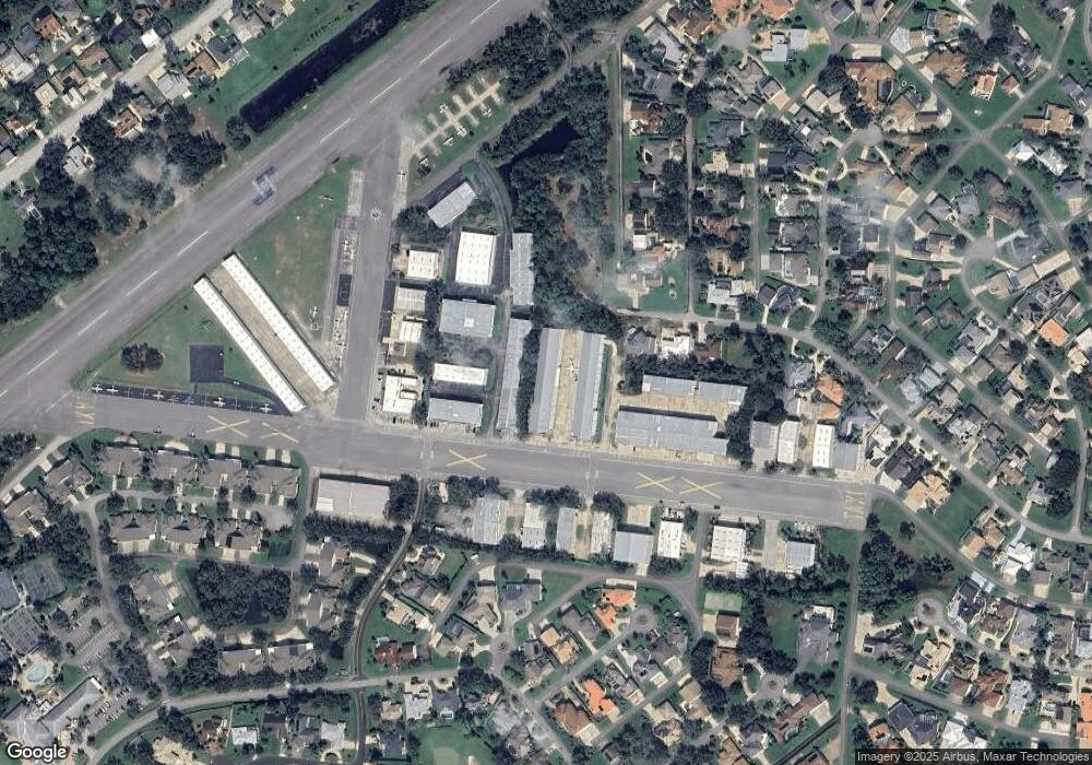
Map
Nearby Homes
- 2633 Slow Flight Dr
- 1795 Earhart Ct
- 52 Taxiway Lindy Loop
- 2540 Tail Spin Trail
- 14 Taxiway Lindy
- 1882 Royal Lytham Ct
- 1787 Earhart Ct
- 2536 Tail Spin Trail
- 2584 E Spruce Creek Blvd
- 1779 Earhart Ct
- 1889 Seclusion Dr
- 1888 Seclusion Dr
- 2672 E Spruce Creek Blvd
- 56 Lazy Eight Dr
- 2690 E Spruce Creek Blvd
- 1766 Roscoe Turner Trail
- 1978 Country Club Dr
- 1981 Rutgers Place
- 1981 Rutgers Place Unit 49
- 1991 Rutgers Place Unit 44
- 210 Cessna Blvd Unit 7
- 210 Cessna Blvd
- 210 Cessna Blvd Unit 9
- 100 Aces Alley
- 104 Aces Alley
- 106 Aces Alley
- 204 Cessna Blvd
- 108 Aces Alley Unit 11
- 108 Aces Alley
- 111 Aces Alley
- 110 Aces Alley
- 205 Cessna Blvd Unit 3
- 205 Cessna Blvd
- 113 Aces Alley
- 119 Aces Alley Unit 18
- 119 Aces Alley
- 115 Aces Alley
- 112 Aces Alley
- 209 Cessna Blvd Unit 8
- 209 Cessna Blvd