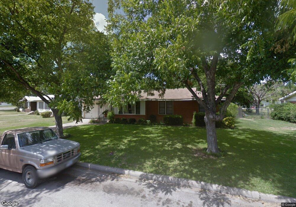
210 Circle Dr Cleburne, TX 76033
Estimated Value: $208,000 - $226,000
3
Beds
2
Baths
1,379
Sq Ft
$157/Sq Ft
Est. Value
About This Home
This home is located at 210 Circle Dr, Cleburne, TX 76033 and is currently estimated at $216,892, approximately $157 per square foot. 210 Circle Dr is a home located in Johnson County with nearby schools including Coleman Elementary School, Lowell Smith Jr. Middle School, and Cleburne High School.
Ownership History
Date
Name
Owned For
Owner Type
Purchase Details
Closed on
May 10, 2016
Sold by
Graves Sawyers Tina and Graves Brooklyn
Bought by
Sawyers Jimmie and Graves Sawyers Tina
Current Estimated Value
Purchase Details
Closed on
Mar 24, 2008
Sold by
Graves Michael and Graves Suzanne
Bought by
Sawyers Tina Graves and Graves Brooklyn
Purchase Details
Closed on
Jan 5, 2007
Sold by
Graves Annie Marie and Graves Suzanne
Bought by
Graves Michael and Graves Karen
Create a Home Valuation Report for This Property
The Home Valuation Report is an in-depth analysis detailing your home's value as well as a comparison with similar homes in the area
Home Values in the Area
Average Home Value in this Area
Purchase History
| Date | Buyer | Sale Price | Title Company |
|---|---|---|---|
| Sawyers Jimmie | -- | None Available | |
| Sawyers Tina Graves | -- | None Available | |
| Graves Michael | -- | None Available |
Source: Public Records
Tax History
| Year | Tax Paid | Tax Assessment Tax Assessment Total Assessment is a certain percentage of the fair market value that is determined by local assessors to be the total taxable value of land and additions on the property. | Land | Improvement |
|---|---|---|---|---|
| 2025 | $1,051 | $198,988 | $36,000 | $162,988 |
| 2024 | $3,570 | $160,103 | $0 | $0 |
| 2023 | $1,051 | $176,165 | $36,000 | $140,165 |
| 2022 | $3,311 | $176,165 | $36,000 | $140,165 |
| 2021 | $3,138 | $132,526 | $32,000 | $100,526 |
| 2020 | $3,030 | $118,909 | $27,000 | $91,909 |
| 2019 | $2,937 | $118,909 | $27,000 | $91,909 |
| 2018 | $1,336 | $45,187 | $10,000 | $35,187 |
| 2017 | $1,287 | $45,187 | $10,000 | $35,187 |
| 2016 | $1,170 | $39,756 | $7,500 | $32,256 |
| 2015 | $1,786 | $78,012 | $13,500 | $64,512 |
| 2014 | $1,786 | $78,012 | $13,500 | $64,512 |
Source: Public Records
Map
Nearby Homes
- 832 Featherston St
- 911 W Chambers St
- 107 Sunset Dr
- 1108 Trace Rd
- 703 Featherston St
- 1114 Willowcreek Rd
- 1116 Willowcreek Rd
- 1204 W Westhill Dr
- 1002 Berkley Dr
- 206 N Holloway St
- 4112 Highland Dr
- 311 N Pendell Ave
- 1309 Mcanear Ct
- 502 Bellevue Dr
- 415 Featherston St
- 505 W Earl St
- 611 Forrest Ave
- 504 Featherston St
- 114 S Field St
- 505 Bellevue Dr
- 206 Circle Dr
- 214 Circle Dr
- 905 Featherston St
- 901 Featherston St
- 209 Circle Dr
- 207 Circle Dr
- 202 Circle Dr
- 205 Circle Dr
- 211 Circle Dr
- 906 Featherston St
- 203 Circle Dr
- 910 Featherston St
- 914 Featherston St
- 837 Featherston St
- 918 Featherston St
- 902 Featherston St
- 836 Featherston St
- 124 Circle Dr
- 920 Featherston St
- 201 Circle Dr
Your Personal Tour Guide
Ask me questions while you tour the home.