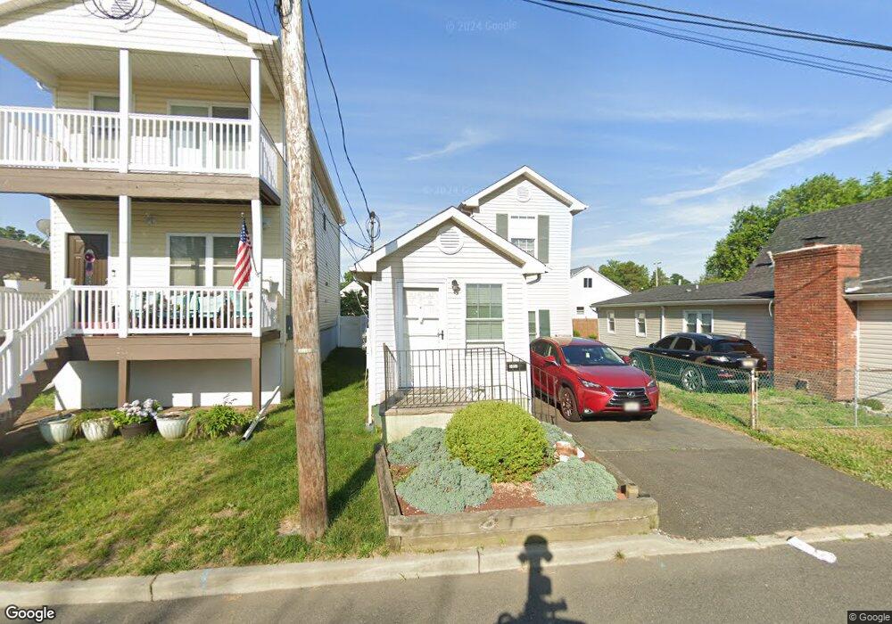
210 Cliff Ave Unit a South Amboy, NJ 08879
Estimated Value: $432,000 - $463,000
2
Beds
1
Bath
--
Sq Ft
2,178
Sq Ft Lot
About This Home
This home is located at 210 Cliff Ave Unit a, South Amboy, NJ 08879 and is currently estimated at $451,719. 210 Cliff Ave Unit a is a home located in Middlesex County with nearby schools including Sayreville War Memorial High School, St. Mary Elementary School, and Cardinal Mccarrick High School.
Ownership History
Date
Name
Owned For
Owner Type
Purchase Details
Closed on
Jan 21, 2022
Sold by
Alter Paula A
Bought by
Oyibo Katima
Current Estimated Value
Home Financials for this Owner
Home Financials are based on the most recent Mortgage that was taken out on this home.
Original Mortgage
$333,841
Outstanding Balance
$309,444
Interest Rate
3.56%
Mortgage Type
FHA
Estimated Equity
$142,275
Purchase Details
Closed on
May 19, 2014
Sold by
Kessler Dennis and Tripp Irving
Bought by
Alter Paula A
Home Financials for this Owner
Home Financials are based on the most recent Mortgage that was taken out on this home.
Original Mortgage
$202,759
Interest Rate
4.37%
Mortgage Type
FHA
Purchase Details
Closed on
Mar 14, 1995
Sold by
Bankers Sav
Bought by
Kessler Dennis and Tripp Irving
Create a Home Valuation Report for This Property
The Home Valuation Report is an in-depth analysis detailing your home's value as well as a comparison with similar homes in the area
Home Values in the Area
Average Home Value in this Area
Purchase History
| Date | Buyer | Sale Price | Title Company |
|---|---|---|---|
| Oyibo Katima | $340,000 | Westcor Land Title | |
| Alter Paula A | $206,500 | Guardian Title Services Llc | |
| Kessler Dennis | $20,000 | -- |
Source: Public Records
Mortgage History
| Date | Status | Borrower | Loan Amount |
|---|---|---|---|
| Open | Oyibo Katima | $333,841 | |
| Previous Owner | Alter Paula A | $202,759 |
Source: Public Records
Tax History Compared to Growth
Tax History
| Year | Tax Paid | Tax Assessment Tax Assessment Total Assessment is a certain percentage of the fair market value that is determined by local assessors to be the total taxable value of land and additions on the property. | Land | Improvement |
|---|---|---|---|---|
| 2025 | $6,380 | $104,500 | $42,600 | $61,900 |
| 2024 | $6,203 | $104,500 | $42,600 | $61,900 |
| 2023 | $6,203 | $104,500 | $42,600 | $61,900 |
| 2022 | $5,795 | $104,500 | $42,600 | $61,900 |
| 2021 | $5,731 | $104,500 | $42,600 | $61,900 |
| 2020 | $5,586 | $104,500 | $42,600 | $61,900 |
| 2019 | $5,468 | $104,500 | $42,600 | $61,900 |
| 2018 | $5,370 | $104,500 | $42,600 | $61,900 |
| 2017 | $5,246 | $104,500 | $42,600 | $61,900 |
| 2016 | $5,106 | $104,500 | $42,600 | $61,900 |
| 2015 | $4,990 | $104,500 | $42,600 | $61,900 |
| 2014 | $4,856 | $104,500 | $42,600 | $61,900 |
Source: Public Records
Map
Nearby Homes
- 99 Morgan Ave
- 333 Midland Ave
- 60 Wlodarczyk Place
- 36 Cliffwood Way
- 10 Dolan Ave
- 179 Gabriel Terrace
- 37 Hoffman Ave
- 4 Prusakowski Blvd
- 47 Prusakowski Blvd
- 21 Gordon Ave
- 21 Luke St
- 809 Summerfield Ave
- 158 Liberty St
- 3015 Lighthouse Ln
- 1200 Ernston Rd
- 158 Liberty St St
- 3014 Lighthouse Ln
- 67 Grabowski Dr
- 21 Lantana Way
- 1511 Pebble Place