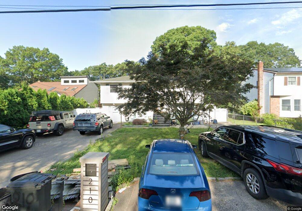
210 Cumberland St Mastic, NY 11950
Estimated Value: $460,000 - $633,000
5
Beds
2
Baths
2,100
Sq Ft
$266/Sq Ft
Est. Value
About This Home
This home is located at 210 Cumberland St, Mastic, NY 11950 and is currently estimated at $558,543, approximately $265 per square foot. 210 Cumberland St is a home located in Suffolk County with nearby schools including Nathaniel Woodhull Elementary School, William Floyd Middle School, and William Floyd High School.
Ownership History
Date
Name
Owned For
Owner Type
Purchase Details
Closed on
Jul 10, 2019
Sold by
Lanni Elizabeth
Bought by
Cajamarca Roberto and Dejesus-Salinas Mariana
Current Estimated Value
Home Financials for this Owner
Home Financials are based on the most recent Mortgage that was taken out on this home.
Original Mortgage
$265,109
Outstanding Balance
$237,808
Interest Rate
5.5%
Mortgage Type
FHA
Estimated Equity
$320,735
Purchase Details
Closed on
Dec 26, 1995
Sold by
Peluso Pat
Bought by
Mackay Donald C and Mackay Diane K
Purchase Details
Closed on
Jun 14, 1995
Sold by
Cifonelli Daniel
Bought by
Peluso Pat
Purchase Details
Closed on
Jun 1, 1995
Sold by
Manufacturers & Traders Trust Co
Bought by
Cifonelli Daniel
Create a Home Valuation Report for This Property
The Home Valuation Report is an in-depth analysis detailing your home's value as well as a comparison with similar homes in the area
Home Values in the Area
Average Home Value in this Area
Purchase History
| Date | Buyer | Sale Price | Title Company |
|---|---|---|---|
| Cajamarca Roberto | $270,000 | -- | |
| Mackay Donald C | $99,000 | First American Title | |
| Peluso Pat | $57,000 | Commonwealth Land Title Ins | |
| Cifonelli Daniel | $50,000 | Bayland Title |
Source: Public Records
Mortgage History
| Date | Status | Borrower | Loan Amount |
|---|---|---|---|
| Open | Cajamarca Roberto | $265,109 |
Source: Public Records
Tax History
| Year | Tax Paid | Tax Assessment Tax Assessment Total Assessment is a certain percentage of the fair market value that is determined by local assessors to be the total taxable value of land and additions on the property. | Land | Improvement |
|---|---|---|---|---|
| 2024 | $7,985 | $1,980 | $135 | $1,845 |
| 2023 | $7,985 | $1,980 | $135 | $1,845 |
| 2022 | $7,553 | $1,980 | $135 | $1,845 |
| 2021 | $7,553 | $1,980 | $135 | $1,845 |
| 2020 | $7,752 | $1,980 | $135 | $1,845 |
| 2019 | $7,752 | $0 | $0 | $0 |
| 2018 | $7,421 | $1,980 | $135 | $1,845 |
| 2017 | $7,421 | $1,980 | $135 | $1,845 |
| 2016 | $7,448 | $1,980 | $135 | $1,845 |
| 2015 | -- | $1,980 | $135 | $1,845 |
| 2014 | -- | $1,980 | $135 | $1,845 |
Source: Public Records
Map
Nearby Homes
- VL Meadowmere Ave
- 191 Hawthorne St
- 154 Meadowmere Ave
- 137 Riverside Ave
- 89 Market St
- 93 Market St
- 77 Market St
- 143 Hawthorne St
- 23 Jeanatta Ave
- 0 Neptune Ave
- 120 Somerset Ave
- 16 Market St
- 78 Eleanor Ave
- VL Jeanatta Ave
- 196 Church Dr
- 35 Strafford St
- 92 Southaven Ave
- 120 Stackyard Dr
- 126 Floyd Rd
- 299 Whittier Dr
- 208 Cumberland St
- 212 Cumberland St
- 214 Cumberland St
- 206 Cumberland St
- 73 Bullard St
- 211 Cumberland St
- 67 Bullard St
- 218 Cumberland St
- 77 Bullard St
- 209 Cumberland St
- 65 Bullard St
- 205 Cumberland St
- 666 Mastic Rd
- 70 Bullard St
- 68 Bullard St
- 72 Bullard St
- 6 Eleanor Ave
- 720 Mastic Rd
- 198 Cumberland St
- 675 Mastic Rd
Your Personal Tour Guide
Ask me questions while you tour the home.