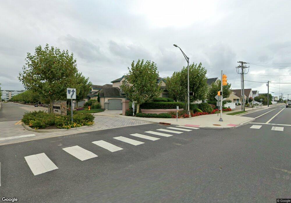
210 Dune Dr Wildwood, NJ 08260
The Wildwoods NeighborhoodEstimated Value: $1,284,000 - $1,395,000
3
Beds
2
Baths
1,630
Sq Ft
$827/Sq Ft
Est. Value
About This Home
This home is located at 210 Dune Dr, Wildwood, NJ 08260 and is currently estimated at $1,347,648, approximately $826 per square foot. 210 Dune Dr is a home located in Cape May County with nearby schools including David C. Douglass Veterans Memorial School, Carl T. Mitnick School, and Maud Abrams School.
Ownership History
Date
Name
Owned For
Owner Type
Purchase Details
Closed on
Aug 26, 2024
Sold by
Montani David and Montani Tina
Bought by
Kaia Mahalo Properties Llc
Current Estimated Value
Purchase Details
Closed on
Jun 3, 2021
Sold by
Ventura Vincent and Ventura Karen C
Bought by
Montani David and Montani Tina
Purchase Details
Closed on
Mar 5, 2004
Sold by
Morey William H
Bought by
Ventura Vincent and Ventura Karen C
Purchase Details
Closed on
Jul 8, 1994
Sold by
Morey Dev
Bought by
Morey William H and Morey Dolores
Home Financials for this Owner
Home Financials are based on the most recent Mortgage that was taken out on this home.
Original Mortgage
$198,000
Interest Rate
8.51%
Create a Home Valuation Report for This Property
The Home Valuation Report is an in-depth analysis detailing your home's value as well as a comparison with similar homes in the area
Home Values in the Area
Average Home Value in this Area
Purchase History
| Date | Buyer | Sale Price | Title Company |
|---|---|---|---|
| Kaia Mahalo Properties Llc | $1,350,000 | Shore Title | |
| Kaia Mahalo Properties Llc | $1,350,000 | Shore Title | |
| Montani David | $640,000 | Misc Company | |
| Ventura Vincent | $649,500 | -- | |
| Ventura Vincent | $649,500 | The Title Company Of Jersey | |
| Morey William H | $247,500 | -- |
Source: Public Records
Mortgage History
| Date | Status | Borrower | Loan Amount |
|---|---|---|---|
| Previous Owner | Morey William H | $198,000 |
Source: Public Records
Tax History Compared to Growth
Tax History
| Year | Tax Paid | Tax Assessment Tax Assessment Total Assessment is a certain percentage of the fair market value that is determined by local assessors to be the total taxable value of land and additions on the property. | Land | Improvement |
|---|---|---|---|---|
| 2025 | $11,935 | $586,500 | $355,400 | $231,100 |
| 2024 | $11,935 | $586,500 | $355,400 | $231,100 |
| 2023 | $11,753 | $586,500 | $355,400 | $231,100 |
| 2022 | $11,396 | $586,500 | $355,400 | $231,100 |
| 2021 | $11,026 | $586,500 | $355,400 | $231,100 |
| 2020 | $10,862 | $586,500 | $355,400 | $231,100 |
| 2019 | $10,569 | $586,500 | $355,400 | $231,100 |
| 2018 | $10,322 | $586,500 | $355,400 | $231,100 |
| 2017 | $10,328 | $586,500 | $355,400 | $231,100 |
| 2016 | $10,188 | $586,500 | $355,400 | $231,100 |
| 2015 | $9,859 | $586,500 | $355,400 | $231,100 |
| 2014 | $9,537 | $586,500 | $355,400 | $231,100 |
Source: Public Records
Map
Nearby Homes
- 130 E North Station Ave Unit 130
- 128 E North Station Ave Unit 128
- 524 Turtle Gut Cir Unit 524
- 300 E Raleigh Ave Unit 216
- 300 E Raleigh Ave Unit 509
- 111 Austin Ave
- 124 Ibis Ln Unit 124
- 100 E Raleigh Ave
- 9601 Atlantic Ave Unit 604
- 9103 Atlantic Ave Unit 405
- 9103 Atlantic Ave Unit 310
- 9103 Atlantic Ave Unit 411
- 9103 Atlantic Ave Unit 410
- 9103 Atlantic Ave Unit 202
- 9101 Atlantic Ave Unit 306
- 9101 Atlantic Ave Unit 303
- 101 W Saint Louis Ave
- 209 E Pittsburgh Ave
- 8901 Atlantic Ave Unit 604
- 8901 Atlantic Ave Unit 203
- 208 Dune Dr
- 212 Dune Dr
- 217 N Station Ave Unit E
- 219 N Station Ave Unit E
- 206 Dune Dr
- 214 Dune Dr
- 203 N Station Ave Unit E
- 201 N Station Ave Unit E
- 231 N Station Ave Unit E
- 221 N Station Ave Unit E
- 200 N Station Ave Unit E
- 202 N Station Ave Unit E
- 211 Dune Dr
- 209 Dune Dr
- 213 Dune Dr
- 211 N Station Ave Unit Southern end of Wild
- 223 N Station Ave Unit E
- 207 Dune Dr
- 215 Dune Dr
- 204 Dune Dr