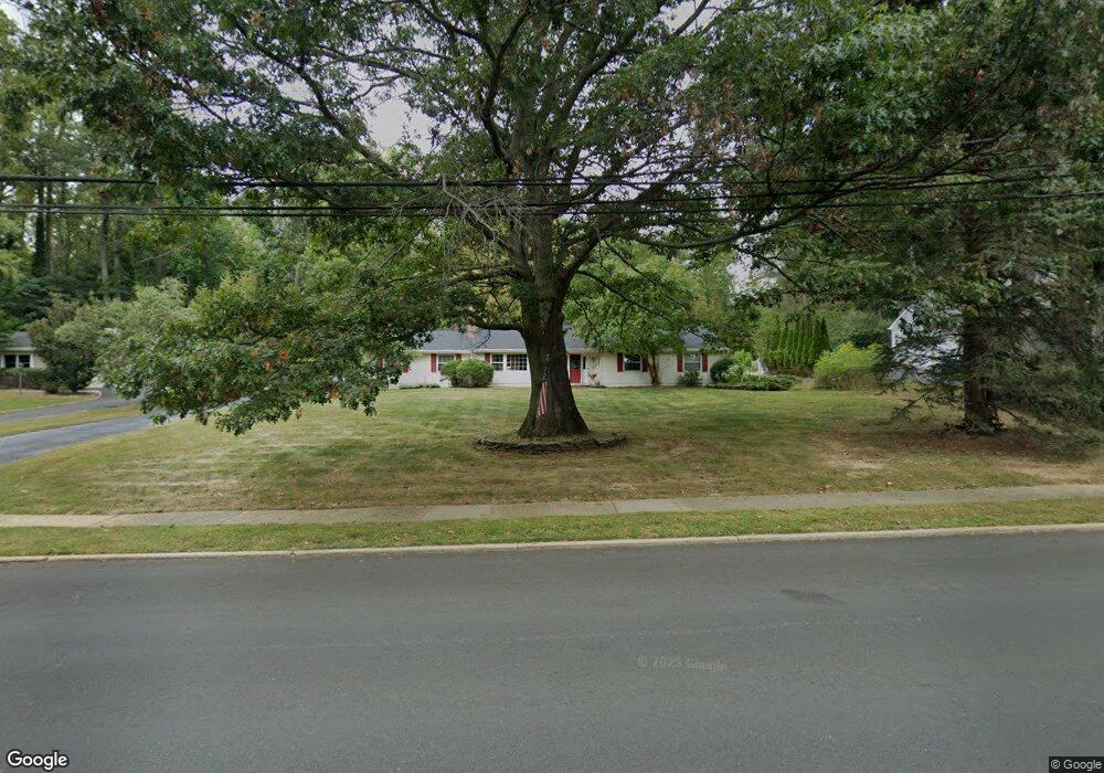
210 Dwight Rd Middletown, NJ 07748
New Monmouth NeighborhoodEstimated Value: $817,000 - $989,000
3
Beds
2
Baths
2,005
Sq Ft
$445/Sq Ft
Est. Value
About This Home
This home is located at 210 Dwight Rd, Middletown, NJ 07748 and is currently estimated at $892,791, approximately $445 per square foot. 210 Dwight Rd is a home located in Monmouth County with nearby schools including Nut Swamp Elementary School, Thompson Middle School, and Middletown - South High School.
Ownership History
Date
Name
Owned For
Owner Type
Purchase Details
Closed on
Jul 8, 2005
Sold by
Dec John F
Bought by
Castro Maruice and Castrio Nancy E
Current Estimated Value
Home Financials for this Owner
Home Financials are based on the most recent Mortgage that was taken out on this home.
Original Mortgage
$359,000
Interest Rate
5.81%
Mortgage Type
New Conventional
Purchase Details
Closed on
Dec 9, 2004
Sold by
Johnston Catherine
Bought by
Dec John F and Dec Ann T
Create a Home Valuation Report for This Property
The Home Valuation Report is an in-depth analysis detailing your home's value as well as a comparison with similar homes in the area
Home Values in the Area
Average Home Value in this Area
Purchase History
| Date | Buyer | Sale Price | Title Company |
|---|---|---|---|
| Castro Maruice | $579,999 | -- | |
| Dec John F | $539,900 | -- |
Source: Public Records
Mortgage History
| Date | Status | Borrower | Loan Amount |
|---|---|---|---|
| Previous Owner | Castro Maruice | $359,000 |
Source: Public Records
Tax History
| Year | Tax Paid | Tax Assessment Tax Assessment Total Assessment is a certain percentage of the fair market value that is determined by local assessors to be the total taxable value of land and additions on the property. | Land | Improvement |
|---|---|---|---|---|
| 2025 | $11,979 | $832,600 | $511,000 | $321,600 |
| 2024 | $10,873 | $728,200 | $386,300 | $341,900 |
Source: Public Records
Map
Nearby Homes
- 3 Deridder Ct
- 7 Cormorant Dr
- 234 Borden Rd
- 129 Four Winds Dr
- 185 Ballantine Rd
- 911 Middletown Lincroft Rd
- 62 Cypress Neck Rd
- 158 Willow Grove Dr
- 49 Stork Ct
- 41 Polly Way
- 246 Sunnyside Rd
- 6 Twin Brooks Ct
- 86 Stillwell Rd
- 45 Galloping Hill Cir
- 7 Mccampbell Rd
- 7 Boxwood Terrace Unit 250
- 17 Spalding Dr
- 30 Winchester Ln
- 33 Winchester Ln
- 164 Heights Terrace
- 220 Dwight Rd
- 200 Dwight Rd
- 25 Townsend Dr
- 33 Townsend Dr
- 17 Townsend Dr
- 1 Ballantine Rd
- 190 Dwight Rd
- 230 Dwight Rd
- 41 Townsend Dr
- 157 Four Winds Dr
- 9 Townsend Dr
- 180 Dwight Rd
- 9 Ballantine Rd
- 2 Ballantine Rd
- 18 Townsend Dr
- 49 Townsend Dr
- 153 Four Winds Dr
- 250 Pelican Rd
- 10 Ballantine Rd
- 250 Dwight Rd
Your Personal Tour Guide
Ask me questions while you tour the home.