Estimated Value: $203,000 - $338,000
3
Beds
2
Baths
1,294
Sq Ft
$199/Sq Ft
Est. Value
About This Home
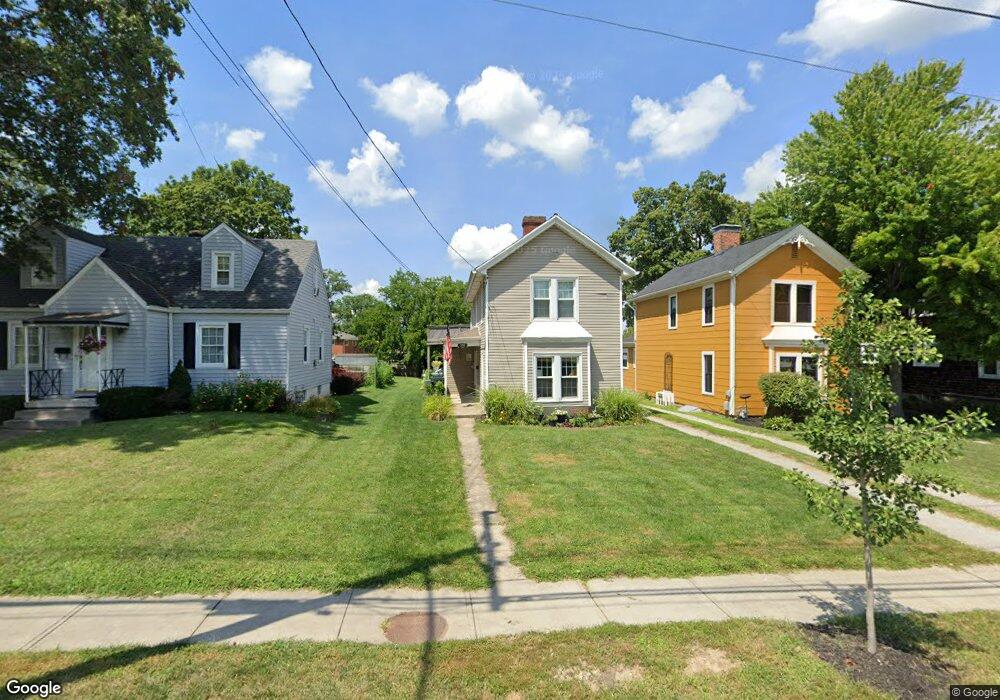
This home is located at 210 E Main St, Mason, OH 45040 and is currently estimated at $258,091, approximately $199 per square foot. 210 E Main St is a home located in Warren County with nearby schools including Mason Intermediate Elementary School, Mason Middle School, and William Mason High School.
Ownership History
Date
Name
Owned For
Owner Type
Purchase Details
Closed on
Aug 14, 2015
Sold by
Dullaghan Patrick S and Dullaghan Amy G
Bought by
Mefford Tracy G and Memoli Charles E
Current Estimated Value
Purchase Details
Closed on
Apr 8, 2013
Sold by
Dullaghan Amy G
Bought by
Dullaghan Patrick S and Dullaghan Amy G
Home Financials for this Owner
Home Financials are based on the most recent Mortgage that was taken out on this home.
Original Mortgage
$63,000
Interest Rate
3.52%
Mortgage Type
Future Advance Clause Open End Mortgage
Purchase Details
Closed on
Aug 6, 1997
Sold by
Reinhard Jon E
Bought by
Dullaghan Patrick S and Dullaghan Amy G
Home Financials for this Owner
Home Financials are based on the most recent Mortgage that was taken out on this home.
Original Mortgage
$78,400
Interest Rate
7.68%
Mortgage Type
New Conventional
Purchase Details
Closed on
Jun 20, 1984
Sold by
Weitzel Weitzel and Weitzel Josephine
Bought by
Lee Reinhard and Lee Reinhard Paul
Create a Home Valuation Report for This Property
The Home Valuation Report is an in-depth analysis detailing your home's value as well as a comparison with similar homes in the area
Home Values in the Area
Average Home Value in this Area
Purchase History
| Date | Buyer | Sale Price | Title Company |
|---|---|---|---|
| Mefford Tracy G | -- | None Available | |
| Dullaghan Patrick S | -- | None Available | |
| Dullaghan Patrick S | $85,000 | -- | |
| Lee Reinhard | $35,000 | -- |
Source: Public Records
Mortgage History
| Date | Status | Borrower | Loan Amount |
|---|---|---|---|
| Previous Owner | Dullaghan Patrick S | $63,000 | |
| Previous Owner | Dullaghan Patrick S | $78,400 |
Source: Public Records
Tax History
| Year | Tax Paid | Tax Assessment Tax Assessment Total Assessment is a certain percentage of the fair market value that is determined by local assessors to be the total taxable value of land and additions on the property. | Land | Improvement |
|---|---|---|---|---|
| 2025 | $2,571 | $63,360 | $20,430 | $42,930 |
| 2024 | $2,571 | $63,360 | $20,430 | $42,930 |
| 2023 | $2,317 | $48,237 | $10,052 | $38,185 |
| 2022 | $2,288 | $48,237 | $10,052 | $38,185 |
| 2021 | $2,167 | $48,237 | $10,052 | $38,185 |
| 2020 | $2,055 | $39,218 | $8,173 | $31,045 |
| 2019 | $1,889 | $39,218 | $8,173 | $31,045 |
| 2018 | $1,895 | $39,218 | $8,173 | $31,045 |
| 2017 | $1,935 | $37,370 | $7,998 | $29,372 |
| 2016 | $1,993 | $37,370 | $7,998 | $29,372 |
| 2015 | $2,054 | $37,370 | $7,998 | $29,372 |
| 2014 | $2,138 | $36,280 | $7,760 | $28,520 |
| 2013 | $2,083 | $38,190 | $8,170 | $30,020 |
Source: Public Records
Map
Nearby Homes
- 107 Cowan Dr
- 304 E Main St
- 306 E Main St
- 308 E Main St
- 5130 Franklin Park St
- 5173 Franklin Park St
- 404 W Church St
- 4922 Bordeaux Ln Unit 4922
- 4897 Bordeaux Ln Unit 4897
- 4943 Isaac Ln
- 200 Woodland Rd
- 4782 Bordeaux Ln
- 4776 Bordeaux Ln
- 4734 Margaret Ct
- 4492 Angeline
- 600 W Church St
- 3 Carnell Place
- 4684 Court Yard Dr
- 4268 Fontenay
- 6244 Mere Dr
- 212 E Main St
- 208 E Main St
- 300 E Main St
- 206 E Main St
- 302 E Main St
- 304 E Main St Unit A
- 102 Cowan Dr
- 201 E Main St
- 209 E Main St
- L E Main St
- 202 E Main St
- 205 E Main St
- 207 E Main St
- 306 E Main St Unit A
- 308 E Main St Unit A
- 104 Cowan Dr
- 305 E Main St
- 310 E Main St
- 310 E Main St Unit A
- 101 Cowan Dr
Your Personal Tour Guide
Ask me questions while you tour the home.