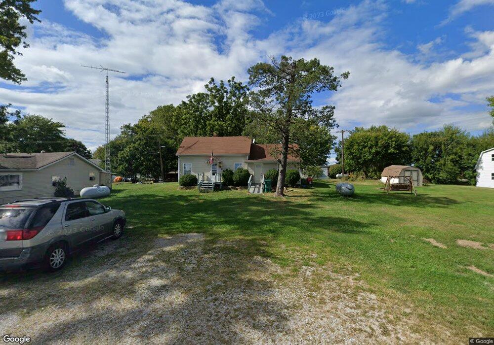
210 E Midway St Colfax, IN 46035
Estimated Value: $118,000 - $183,000
2
Beds
1
Bath
884
Sq Ft
$167/Sq Ft
Est. Value
About This Home
This home is located at 210 E Midway St, Colfax, IN 46035 and is currently estimated at $147,259, approximately $166 per square foot. 210 E Midway St is a home located in Clinton County with nearby schools including Clinton Prairie Elementary School and Clinton Prairie Junior/Senior High School.
Ownership History
Date
Name
Owned For
Owner Type
Purchase Details
Closed on
Apr 26, 2017
Sold by
Sanford Deborah E and Rogers James R
Bought by
Dunbar Martha A
Current Estimated Value
Purchase Details
Closed on
Feb 10, 2009
Sold by
Federal National Mortgage Association
Bought by
Rogers Robert E and Dunbar Martha
Purchase Details
Closed on
Jan 10, 2009
Sold by
Fannie Mae
Bought by
Rogers Robert E and Dunbar Martha
Purchase Details
Closed on
Nov 12, 2008
Sold by
Mitchell Mark A
Bought by
Federal National Mortgage Association
Purchase Details
Closed on
Aug 13, 2001
Sold by
Whitlock Susan M and Whitlock Phillip M
Bought by
Ramsey Nathan E and Ramsey Marguerite A
Purchase Details
Closed on
May 30, 1997
Sold by
Schocke Sidney J and Wh Jackie L
Bought by
Whitlock Susan M and Whitlock Phillip M
Create a Home Valuation Report for This Property
The Home Valuation Report is an in-depth analysis detailing your home's value as well as a comparison with similar homes in the area
Purchase History
| Date | Buyer | Sale Price | Title Company |
|---|---|---|---|
| Dunbar Martha A | -- | None Available | |
| Sanford Deborah E | -- | None Available | |
| Rogers Robert E | $30,500 | Title Management Llc | |
| Rogers Robert E | -- | None Available | |
| Federal National Mortgage Association | $51,015 | Foutty & Foutty Llp | |
| Ramsey Nathan E | $69,900 | -- | |
| Whitlock Susan M | $61,000 | -- |
Source: Public Records
Tax History
| Year | Tax Paid | Tax Assessment Tax Assessment Total Assessment is a certain percentage of the fair market value that is determined by local assessors to be the total taxable value of land and additions on the property. | Land | Improvement |
|---|---|---|---|---|
| 2024 | $1,552 | $75,600 | $6,300 | $69,300 |
| 2023 | $1,523 | $75,600 | $6,300 | $69,300 |
| 2022 | $1,250 | $61,900 | $6,300 | $55,600 |
| 2021 | $812 | $40,500 | $6,300 | $34,200 |
| 2020 | $822 | $40,500 | $6,300 | $34,200 |
| 2019 | $822 | $40,500 | $6,300 | $34,200 |
| 2018 | $822 | $40,500 | $6,300 | $34,200 |
| 2017 | $804 | $40,600 | $6,300 | $34,300 |
| 2016 | $746 | $34,700 | $8,700 | $26,000 |
| 2014 | $622 | $31,000 | $8,700 | $22,300 |
Source: Public Records
Map
Nearby Homes
- 404 W Franklin St
- 108 N Carter St
- 406 W Linden St
- 7250 S Co Road 880 W
- 9000 W County Road 750 S
- 4920 S Co Road 500 W
- 7001 N 1075 W
- Ironwood Plan at Northwood Haven
- Spruce Plan at Northwood Haven
- Ashton Plan at Northwood Haven
- Palmetto Plan at Northwood Haven
- Bradford Plan at Northwood Haven
- Aspen II Plan at Northwood Haven
- Empress Plan at Northwood Haven
- Juniper Plan at Northwood Haven
- Chestnut Plan at Northwood Haven
- Norway Plan at Northwood Haven
- Cooper Plan at Northwood Haven
- 6139 Westfall Dr
- Juniper Plan at Westfall Place
- 204 E Midway St
- 214 E Midway St
- 205 E Park St
- 200 E Midway St
- 203 E Park St
- 223 E Midway St
- 110 E Midway St
- 111 E Midway St
- 0 W Manson Colfax Rd
- 107 E Park St
- 105 E Park St
- 104 E Midway St
- 105 E Midway St
- 103 E Park St
- 403 S Harvey St
- 49 W Park St
- 100 W Park St
- 102 W Midway St
- 103 W Park St
- 102 W Park St
Your Personal Tour Guide
Ask me questions while you tour the home.