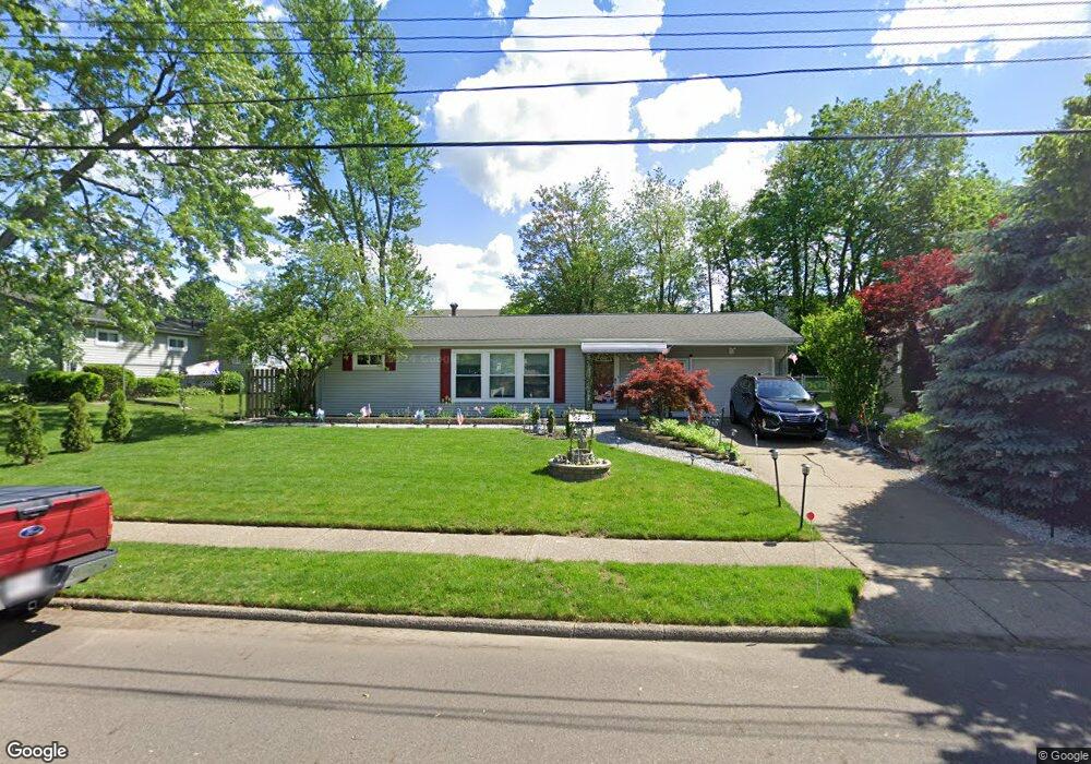
210 E Ralston Ave Akron, OH 44301
Firestone Park NeighborhoodEstimated Value: $158,712 - $182,000
3
Beds
2
Baths
1,107
Sq Ft
$154/Sq Ft
Est. Value
About This Home
This home is located at 210 E Ralston Ave, Akron, OH 44301 and is currently estimated at $170,178, approximately $153 per square foot. 210 E Ralston Ave is a home located in Summit County with nearby schools including Kenmore Garfield Community Learning Center, Eagle Elementary, and Main Preparatory Academy.
Ownership History
Date
Name
Owned For
Owner Type
Purchase Details
Closed on
May 13, 2021
Sold by
Goodman Bryan S and Goodman Lyn M
Bought by
Goodman Lyn M and Goodman Bryan S
Current Estimated Value
Purchase Details
Closed on
Oct 24, 1996
Sold by
Est Clarence H Perritt
Bought by
Goodman Bryan S and Goodman Lyn M
Home Financials for this Owner
Home Financials are based on the most recent Mortgage that was taken out on this home.
Original Mortgage
$67,076
Outstanding Balance
$6,285
Interest Rate
8.32%
Mortgage Type
FHA
Estimated Equity
$163,893
Create a Home Valuation Report for This Property
The Home Valuation Report is an in-depth analysis detailing your home's value as well as a comparison with similar homes in the area
Home Values in the Area
Average Home Value in this Area
Purchase History
| Date | Buyer | Sale Price | Title Company |
|---|---|---|---|
| Goodman Lyn M | -- | None Available | |
| Goodman Bryan S | $82,000 | -- |
Source: Public Records
Mortgage History
| Date | Status | Borrower | Loan Amount |
|---|---|---|---|
| Open | Goodman Bryan S | $67,076 |
Source: Public Records
Tax History Compared to Growth
Tax History
| Year | Tax Paid | Tax Assessment Tax Assessment Total Assessment is a certain percentage of the fair market value that is determined by local assessors to be the total taxable value of land and additions on the property. | Land | Improvement |
|---|---|---|---|---|
| 2025 | $2,312 | $42,995 | $11,064 | $31,931 |
| 2024 | $2,312 | $42,995 | $11,064 | $31,931 |
| 2023 | $2,312 | $42,995 | $11,064 | $31,931 |
| 2022 | $2,141 | $31,158 | $8,019 | $23,139 |
| 2021 | $2,143 | $31,158 | $8,019 | $23,139 |
| 2020 | $2,111 | $31,160 | $8,020 | $23,140 |
| 2019 | $2,180 | $29,290 | $8,020 | $21,270 |
| 2018 | $2,151 | $29,290 | $8,020 | $21,270 |
| 2017 | $2,185 | $29,290 | $8,020 | $21,270 |
| 2016 | $2,187 | $29,290 | $8,020 | $21,270 |
| 2015 | $2,185 | $29,290 | $8,020 | $21,270 |
| 2014 | $2,168 | $29,290 | $8,020 | $21,270 |
| 2013 | $2,124 | $29,290 | $8,020 | $21,270 |
Source: Public Records
Map
Nearby Homes
- 146 E Woodsdale Ave
- 291 Selden Ave
- 315 Clinton Ave
- 739 S Firestone Blvd
- 79 Selden Ave
- 40 E Dresden Ave
- 37 Selden Ave
- 23 Selden Ave
- 74 E Catawba Ave
- 249 Naomi St
- 17 W Woodsdale Ave
- 41 W Woodsdale Ave
- 1614 Glenmount Ave
- 2069 Penguin Ave
- 1637 Rockford St
- 55 W Ralston Ave
- 361 Mission Dr
- 1861 S Main St
- 1699 Redwood Ave
- 2179 Glenmount Ave
- 204 E Ralston Ave
- 1936 Thane Ave
- 1946 Thane Ave
- 196 E Ralston Ave
- 201 E Ralston Ave
- 1921 Thane Ave
- 230 E Ralston Ave
- 223 E Ralston Ave
- 227 E Boxwood Ave
- 188 E Ralston Ave
- 1914 Thane Ave
- 234 E Ralston Ave
- 191 E Ralston Ave
- 229 E Ralston Ave
- 233 E Boxwood Ave
- 185 E Ralston Ave
- 1905 Thane Ave
- 242 E Ralston Ave
- 235 E Ralston Ave
- 182 E Ralston Ave