210 Eastside Rd Unit 1 Wrentham, MA 02093
Estimated Value: $488,000 - $706,000
2
Beds
1
Bath
880
Sq Ft
$636/Sq Ft
Est. Value
About This Home
This home is located at 210 Eastside Rd Unit 1, Wrentham, MA 02093 and is currently estimated at $560,098, approximately $636 per square foot. 210 Eastside Rd Unit 1 is a home located in Norfolk County with nearby schools including Delaney Elementary School and Charles E Roderick.
Ownership History
Date
Name
Owned For
Owner Type
Purchase Details
Closed on
Jan 16, 2004
Sold by
Morrill Donna M
Bought by
Anderson Richard E and Anderson Jean M
Current Estimated Value
Home Financials for this Owner
Home Financials are based on the most recent Mortgage that was taken out on this home.
Original Mortgage
$297,600
Outstanding Balance
$139,948
Interest Rate
5.98%
Mortgage Type
Purchase Money Mortgage
Estimated Equity
$420,150
Create a Home Valuation Report for This Property
The Home Valuation Report is an in-depth analysis detailing your home's value as well as a comparison with similar homes in the area
Home Values in the Area
Average Home Value in this Area
Purchase History
| Date | Buyer | Sale Price | Title Company |
|---|---|---|---|
| Anderson Richard E | $402,000 | -- |
Source: Public Records
Mortgage History
| Date | Status | Borrower | Loan Amount |
|---|---|---|---|
| Open | Anderson Richard E | $297,600 |
Source: Public Records
Tax History Compared to Growth
Tax History
| Year | Tax Paid | Tax Assessment Tax Assessment Total Assessment is a certain percentage of the fair market value that is determined by local assessors to be the total taxable value of land and additions on the property. | Land | Improvement |
|---|---|---|---|---|
| 2025 | $5,038 | $434,700 | $297,300 | $137,400 |
| 2024 | $4,866 | $405,500 | $297,300 | $108,200 |
| 2023 | $4,604 | $364,800 | $270,300 | $94,500 |
| 2022 | $4,415 | $323,000 | $245,800 | $77,200 |
| 2021 | $4,528 | $321,800 | $245,800 | $76,000 |
| 2020 | $3,769 | $264,500 | $187,600 | $76,900 |
| 2019 | $3,699 | $262,000 | $187,600 | $74,400 |
| 2018 | $3,336 | $234,300 | $177,900 | $56,400 |
| 2017 | $3,206 | $225,000 | $174,500 | $50,500 |
| 2016 | $3,134 | $219,500 | $169,400 | $50,100 |
| 2015 | $3,108 | $207,500 | $162,900 | $44,600 |
| 2014 | $3,062 | $200,000 | $156,600 | $43,400 |
Source: Public Records
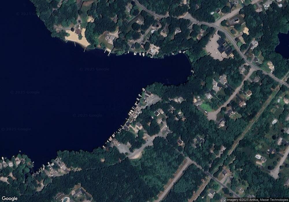
Map
Nearby Homes
- 131 Creek St Unit 7
- Lot 3 - 14 Earle Stewart Ln
- 11 Earle Stewart Ln
- Lot 1 - Blueberry 2 Car Plan at King Philip Estates
- Lot 8 - Blueberry 2 Car Plan at King Philip Estates
- Lot 5 - Hughes 2 car Plan at King Philip Estates
- Lot 6 - Blueberry 3 Car Plan at King Philip Estates
- Lot 2 - Camden 2 Car Plan at King Philip Estates
- Lot 7 - Cedar Plan at King Philip Estates
- Lot 4 - Hemingway 2 Car Plan at King Philip Estates
- Lot 3 - Blueberry 2 Car Plan at King Philip Estates
- 570 Franklin St
- 10 Nature View Dr
- 15 Nature View Dr
- 319 Taunton St
- 791 South St Unit 5
- 270 Dedham St
- 1 Lorraine Metcalf Dr
- 362 East St
- 50 Reed Fulton Ave Unit Lot 61
- 210 Eastside Rd
- 200 Eastside Rd
- 190 Eastside Rd
- 180 Eastside Rd
- 165 Eastside Rd
- 230 Eastside Rd
- 230 Eastside Rd
- 230 Eastside Rd Unit 230
- 240 Eastside Rd
- 240 Eastside Rd
- 250 Eastside Rd
- 155 Eastside Rd
- 245 Eastside Rd
- 340 Eastside Rd
- 260 Eastside Rd
- 330 Eastside Rd
- 320 Eastside Rd
- 410 Eastside Rd
- 150 Eastside Rd Unit 1
- 400 Eastside Rd