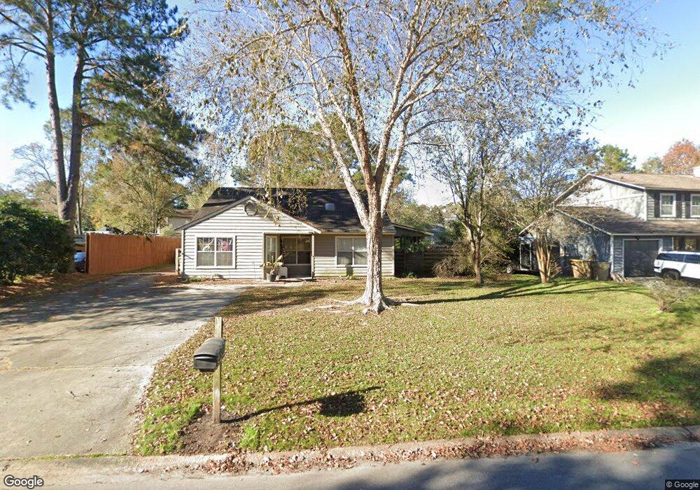
210 Falcon Dr Richmond Hill, GA 31324
Estimated Value: $273,000 - $296,000
3
Beds
2
Baths
1,446
Sq Ft
$199/Sq Ft
Est. Value
About This Home
This home is located at 210 Falcon Dr, Richmond Hill, GA 31324 and is currently estimated at $287,042, approximately $198 per square foot. 210 Falcon Dr is a home located in Bryan County with nearby schools including Richmond Hill Primary School, Dr. George Washington Carver Elementary School, and Richmond Hill Elementary School.
Ownership History
Date
Name
Owned For
Owner Type
Purchase Details
Closed on
Sep 6, 2016
Sold by
Sciott H
Bought by
Tellames Nelson
Current Estimated Value
Home Financials for this Owner
Home Financials are based on the most recent Mortgage that was taken out on this home.
Original Mortgage
$122,735
Outstanding Balance
$99,032
Interest Rate
3.75%
Mortgage Type
FHA
Estimated Equity
$188,010
Purchase Details
Closed on
Dec 12, 2014
Sold by
Williams Vernese
Bought by
Koyi Ida Mae
Purchase Details
Closed on
May 1, 1996
Sold by
Gary Gary W and Gary Teri L
Bought by
Stender Scott H and Stender Ce
Purchase Details
Closed on
Oct 1, 1987
Create a Home Valuation Report for This Property
The Home Valuation Report is an in-depth analysis detailing your home's value as well as a comparison with similar homes in the area
Home Values in the Area
Average Home Value in this Area
Purchase History
| Date | Buyer | Sale Price | Title Company |
|---|---|---|---|
| Tellames Nelson | $125,000 | -- | |
| Koyi Ida Mae | -- | -- | |
| Stender Scott H | $72,000 | -- | |
| -- | $56,500 | -- |
Source: Public Records
Mortgage History
| Date | Status | Borrower | Loan Amount |
|---|---|---|---|
| Open | Tellames Nelson | $122,735 |
Source: Public Records
Tax History Compared to Growth
Tax History
| Year | Tax Paid | Tax Assessment Tax Assessment Total Assessment is a certain percentage of the fair market value that is determined by local assessors to be the total taxable value of land and additions on the property. | Land | Improvement |
|---|---|---|---|---|
| 2024 | $2,472 | $82,080 | $27,200 | $54,880 |
| 2023 | $2,412 | $69,680 | $22,000 | $47,680 |
| 2022 | $2,157 | $68,800 | $22,000 | $46,800 |
| 2021 | $1,686 | $52,280 | $22,000 | $30,280 |
| 2020 | $1,517 | $52,280 | $22,000 | $30,280 |
| 2019 | $1,645 | $49,880 | $22,000 | $27,880 |
| 2018 | $1,409 | $47,760 | $22,000 | $25,760 |
| 2017 | $1,337 | $48,680 | $18,880 | $29,800 |
| 2016 | $1,267 | $45,800 | $18,000 | $27,800 |
| 2015 | $1,251 | $44,760 | $18,000 | $26,760 |
| 2014 | $1,264 | $45,160 | $18,000 | $27,160 |
Source: Public Records
Map
Nearby Homes
- 70 Dove Ct
- 310 Osprey Dr
- 207 Piercefield Dr
- 762 Piercefield Dr
- 121 Pelican Ln
- 79 Blue Wing Dr
- 261 Sandpiper Rd
- 12 Whippoorwill Ln E
- 176 Shady Oak Cir
- 39 Cat Tail Ct
- 207 Whippoorwill Ln E
- 52 Sedgefield Ct
- 259 Laurel Hill Cir
- 25 Chey Hill Ln
- 22 Sterling Creek Dr
- 581 Laurel Hill Cir
- 100 Rice Gate Dr
- 128 Landing Way
- 292 Vining Way
- 620 Bristol Way
- 196 Falcon Dr
- 228 Falcon Dr
- 34 Blue Heron Ct
- 54 Blue Heron Ct
- 12 Blue Heron Ct
- 205 Falcon Dr
- 221 Falcon Dr
- 70 Blue Heron Ct
- 191 Falcon Dr
- 241 Falcon Dr
- 86 Blue Heron Ct
- 166 Falcon Dr
- 175 Falcon Dr
- 15 Blue Heron Dr
- 100 Blue Heron Ct
- 255 Falcon Dr
- 163 Falcon Dr
- 33 Blue Heron Dr
- 58 Blue Heron Dr
- 146 Falcon Dr