210 Jacob Ott Rd East Stroudsburg, PA 18301
Estimated Value: $281,000 - $391,000
3
Beds
4
Baths
1,496
Sq Ft
$222/Sq Ft
Est. Value
About This Home
This home is located at 210 Jacob Ott Rd, East Stroudsburg, PA 18301 and is currently estimated at $332,034, approximately $221 per square foot. 210 Jacob Ott Rd is a home with nearby schools including Stroudsburg Junior High School and Stroudsburg High School.
Ownership History
Date
Name
Owned For
Owner Type
Purchase Details
Closed on
Nov 28, 2007
Sold by
Cranberry Hill Corporation
Bought by
Fedor Richard G and Fedor Kimberly
Current Estimated Value
Home Financials for this Owner
Home Financials are based on the most recent Mortgage that was taken out on this home.
Original Mortgage
$177,219
Outstanding Balance
$112,172
Interest Rate
6.3%
Mortgage Type
FHA
Estimated Equity
$219,862
Create a Home Valuation Report for This Property
The Home Valuation Report is an in-depth analysis detailing your home's value as well as a comparison with similar homes in the area
Home Values in the Area
Average Home Value in this Area
Purchase History
| Date | Buyer | Sale Price | Title Company |
|---|---|---|---|
| Fedor Richard G | $180,000 | None Available |
Source: Public Records
Mortgage History
| Date | Status | Borrower | Loan Amount |
|---|---|---|---|
| Open | Fedor Richard G | $177,219 |
Source: Public Records
Tax History Compared to Growth
Tax History
| Year | Tax Paid | Tax Assessment Tax Assessment Total Assessment is a certain percentage of the fair market value that is determined by local assessors to be the total taxable value of land and additions on the property. | Land | Improvement |
|---|---|---|---|---|
| 2025 | $1,429 | $173,410 | $48,250 | $125,160 |
| 2024 | $1,169 | $173,410 | $48,250 | $125,160 |
| 2023 | $5,789 | $173,410 | $48,250 | $125,160 |
| 2022 | $5,910 | $173,410 | $48,250 | $125,160 |
| 2021 | $5,729 | $173,410 | $48,250 | $125,160 |
| 2020 | $5,650 | $173,410 | $48,250 | $125,160 |
| 2019 | $5,208 | $27,620 | $8,460 | $19,160 |
| 2018 | $5,556 | $27,620 | $8,460 | $19,160 |
| 2017 | $5,556 | $27,620 | $8,460 | $19,160 |
| 2016 | $1,045 | $27,620 | $8,460 | $19,160 |
| 2015 | -- | $27,620 | $8,460 | $19,160 |
| 2014 | -- | $27,620 | $8,460 | $19,160 |
Source: Public Records
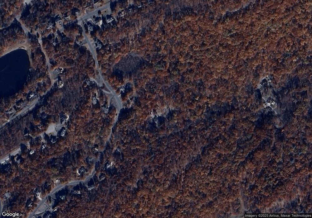
Map
Nearby Homes
- 548 Lakeside Dr
- 0 W of Lr 45080 Unit PM-137100
- 5104 Lake Dr
- 511 Lakeside Dr
- 348 Clicko Ln
- 2330 Burntwood Dr
- 3227 Stonehenge Dr
- 6128 Wales Ct
- 453 Lakeside Dr
- 2041 Candlewood Dr
- 1119 Kensington Dr
- 314 Overlook Dr
- 317 Robinwood Terrace
- 461 Somerset Dr
- 6235 Willowicke Terrace
- 445 Hyland Dr
- 1137 Woodland Dr
- 191 Route 191
- 1808 Jennifer Dr
- 109 Sundew Dr
- 472 Deborah Dr
- 476 Deborah Dr
- 454 Deborah Dr
- 477 Deborah Dr
- Lot 367 Deborah Dr
- 448 Deborah Dr
- 854 Penn Estate
- 494 Deborah Dr
- 449 Deborah Dr
- 7180 Glenwood Dr
- 7178 Glenwood Dr
- 400 Penn Estate
- 815 Penn Estate
- 6230 Blue Beech Dr
- 427 Penn Estate
- 6234 Blue Beech Dr
- 393 Blue Beech Dr
- 499 Deborah Dr
- 7176 Glenwood Dr
- 6222 Blue Beech Dr