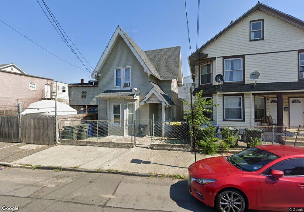
210 James St Bridgeport, CT 06604
The Hollow NeighborhoodEstimated Value: $277,515 - $335,000
3
Beds
2
Baths
925
Sq Ft
$327/Sq Ft
Est. Value
About This Home
This home is located at 210 James St, Bridgeport, CT 06604 and is currently estimated at $302,629, approximately $327 per square foot. 210 James St is a home located in Fairfield County with nearby schools including Geraldine Johnson School, Bassick High School, and Catholic Academy of Bridgeport-St. Raphael Academy.
Ownership History
Date
Name
Owned For
Owner Type
Purchase Details
Closed on
Nov 14, 1996
Sold by
Nationscredit Finance
Bought by
Gonzalez Rafael
Current Estimated Value
Home Financials for this Owner
Home Financials are based on the most recent Mortgage that was taken out on this home.
Original Mortgage
$9,530
Interest Rate
7.99%
Mortgage Type
Unknown
Create a Home Valuation Report for This Property
The Home Valuation Report is an in-depth analysis detailing your home's value as well as a comparison with similar homes in the area
Home Values in the Area
Average Home Value in this Area
Purchase History
| Date | Buyer | Sale Price | Title Company |
|---|---|---|---|
| Gonzalez Rafael | $10,000 | -- | |
| Gonzalez Rafael | $10,000 | -- |
Source: Public Records
Mortgage History
| Date | Status | Borrower | Loan Amount |
|---|---|---|---|
| Closed | Gonzalez Rafael | $9,530 |
Source: Public Records
Tax History
| Year | Tax Paid | Tax Assessment Tax Assessment Total Assessment is a certain percentage of the fair market value that is determined by local assessors to be the total taxable value of land and additions on the property. | Land | Improvement |
|---|---|---|---|---|
| 2025 | $3,456 | $79,530 | $30,600 | $48,930 |
| 2024 | $3,456 | $79,530 | $30,600 | $48,930 |
| 2023 | $3,456 | $79,530 | $30,600 | $48,930 |
| 2022 | $3,456 | $79,530 | $30,600 | $48,930 |
| 2021 | $3,456 | $79,530 | $30,600 | $48,930 |
| 2020 | $2,993 | $55,440 | $14,500 | $40,940 |
| 2019 | $2,993 | $55,440 | $14,500 | $40,940 |
| 2018 | $3,014 | $55,440 | $14,500 | $40,940 |
| 2017 | $3,014 | $55,440 | $14,500 | $40,940 |
| 2016 | $3,014 | $55,440 | $14,500 | $40,940 |
| 2015 | $3,593 | $85,150 | $30,170 | $54,980 |
| 2014 | $3,593 | $85,150 | $30,170 | $54,980 |
Source: Public Records
Map
Nearby Homes
- 202 James St Unit 204
- 120 Milne St Unit 122
- 57 Milne St Unit 59
- 391 Coleman St
- 318 Center St
- 105 Washington Terrace
- 41-43 Washington Terrace
- 1522 North Ave
- 60 Olive St
- 1146-1148 Iranistan Ave
- 100 Lorraine St
- 32-34 Elmwood Ave
- 78 Fairmount Ave
- 23-25 Morgan Ave
- 881 Lafayette Blvd Unit 3M
- 881 Lafayette Blvd Unit 4N
- 881 Lafayette Blvd Unit 1A
- 881 Lafayette Blvd Unit 2H
- 99 William St Unit B
- 357 Norman St
- 383 Harral Ave
- 357 Harral Ave
- 355 Harral Ave
- 391 Harral Ave
- 349 Harral Ave
- 235-239 James St
- 235 James St Unit 239
- 339 Harral Ave Unit 2
- 339 Harral Ave Unit 1
- 339 Harral Ave
- 58 Calhoun Ave Unit 60
- 56 Calhoun Ave
- 425 Harral Ave
- 352 Harral Ave
- 44 Calhoun Ave
- 253 James St Unit 255
- 334 Harral Ave
- 344 Harral Ave
- 42 Calhoun Ave
- 261 James St Unit 263
Your Personal Tour Guide
Ask me questions while you tour the home.