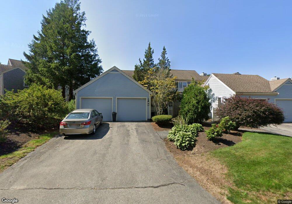
210 Kates Path Yarmouth Port, MA 02675
Yarmouth Port NeighborhoodEstimated Value: $656,000 - $775,000
2
Beds
4
Baths
2,544
Sq Ft
$281/Sq Ft
Est. Value
About This Home
This home is located at 210 Kates Path, Yarmouth Port, MA 02675 and is currently estimated at $714,283, approximately $280 per square foot. 210 Kates Path is a home located in Barnstable County with nearby schools including Dennis-Yarmouth Regional High School.
Ownership History
Date
Name
Owned For
Owner Type
Purchase Details
Closed on
Aug 2, 2002
Sold by
Adelson-Field Gloria
Bought by
Rhicard Terry B
Current Estimated Value
Home Financials for this Owner
Home Financials are based on the most recent Mortgage that was taken out on this home.
Original Mortgage
$359,100
Outstanding Balance
$152,930
Interest Rate
6.64%
Mortgage Type
Purchase Money Mortgage
Estimated Equity
$561,353
Create a Home Valuation Report for This Property
The Home Valuation Report is an in-depth analysis detailing your home's value as well as a comparison with similar homes in the area
Home Values in the Area
Average Home Value in this Area
Purchase History
| Date | Buyer | Sale Price | Title Company |
|---|---|---|---|
| Rhicard Terry B | $399,000 | -- |
Source: Public Records
Mortgage History
| Date | Status | Borrower | Loan Amount |
|---|---|---|---|
| Open | Rhicard Terry B | $359,100 |
Source: Public Records
Tax History Compared to Growth
Tax History
| Year | Tax Paid | Tax Assessment Tax Assessment Total Assessment is a certain percentage of the fair market value that is determined by local assessors to be the total taxable value of land and additions on the property. | Land | Improvement |
|---|---|---|---|---|
| 2025 | $4,406 | $622,300 | $0 | $622,300 |
| 2024 | $4,424 | $599,500 | $0 | $599,500 |
| 2023 | $3,979 | $490,600 | $0 | $490,600 |
| 2022 | $4,543 | $494,900 | $0 | $494,900 |
| 2021 | $4,419 | $462,200 | $0 | $462,200 |
| 2020 | $4,458 | $445,800 | $0 | $445,800 |
| 2019 | $4,177 | $413,600 | $0 | $413,600 |
| 2018 | $3,925 | $381,400 | $0 | $381,400 |
| 2017 | $3,660 | $365,300 | $0 | $365,300 |
| 2016 | $3,485 | $349,200 | $0 | $349,200 |
| 2015 | $3,684 | $366,900 | $0 | $366,900 |
Source: Public Records
Map
Nearby Homes
- 158 Kates Path
- 228 Kates Path
- 17 Kates Path Unit A
- 19 John Hall Cartway Unit E
- 19 John Halls Cartpath Village Unit E
- 30 W Woods
- 30 W Woods Cir Unit 30
- 50 John Hall Cartway
- 50 John Hall Cartway Unit 50
- 64 Kates Path
- 42 John Hall Cartway Unit 42
- 28 Oak Glen
- 25 Oak Glen Village Unit 25
- 25 Oak Glen
- 2 Pine Grove
- 43 Canterbury Rd
- 17 Nottingham Dr
- 44 Stratford Ln
- 21 Boxwood Cir
- 800 Route 6a
- 208 Kates Path
- 206 Kates Path
- 204 Kates Path
- 208 Kate's Path Unit 208
- 210 Kates Path Unit 210
- 206 Kates Path Unit A
- 204 Kates Path Unit E
- 208 Kates Path Unit C
- 210 Kates Path Unit H
- 198 Kate's Unit 198
- 202 Kates Path
- 198 Kates Path
- 200 Kates Path Unit A
- 198 Kates Path Unit H
- 226 Kate's Path
- 226 Kate's Path Unit 226
- 228 Kate's Path
- 232 Kate's Path Unit 232
- 234 Kate's Path Unit 234
- 138 Kate's Path Unit 138