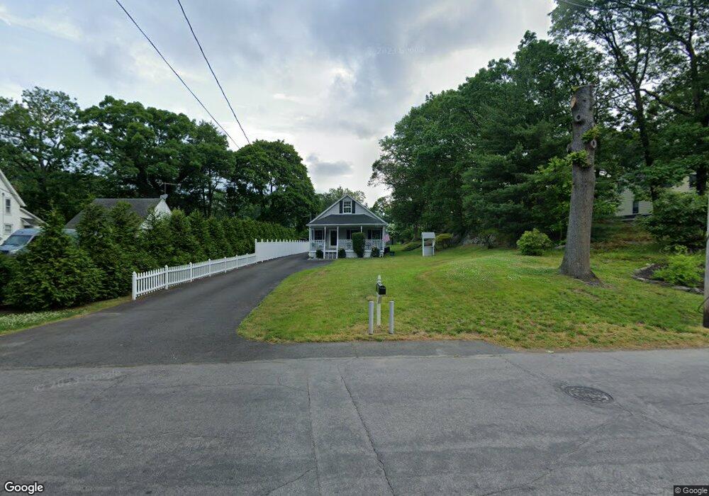
210 Kings Dr Southport, CT 06890
Southport NeighborhoodEstimated Value: $711,000 - $822,000
2
Beds
3
Baths
1,276
Sq Ft
$614/Sq Ft
Est. Value
About This Home
This home is located at 210 Kings Dr, Southport, CT 06890 and is currently estimated at $783,494, approximately $614 per square foot. 210 Kings Dr is a home located in Fairfield County with nearby schools including Mill Hill School, Roger Ludlowe Middle School, and Fairfield Ludlowe High School.
Ownership History
Date
Name
Owned For
Owner Type
Purchase Details
Closed on
Oct 18, 2013
Sold by
Est Kondub Agnes and Kondub Richard
Bought by
Wanat George
Current Estimated Value
Home Financials for this Owner
Home Financials are based on the most recent Mortgage that was taken out on this home.
Original Mortgage
$300,000
Outstanding Balance
$226,126
Interest Rate
4.58%
Estimated Equity
$557,368
Purchase Details
Closed on
Feb 10, 2004
Sold by
Est Zygmont Thomas G and Zugmont John J
Bought by
Kandob Agnes Z
Create a Home Valuation Report for This Property
The Home Valuation Report is an in-depth analysis detailing your home's value as well as a comparison with similar homes in the area
Home Values in the Area
Average Home Value in this Area
Purchase History
| Date | Buyer | Sale Price | Title Company |
|---|---|---|---|
| Wanat George | $342,000 | -- | |
| Wanat George | $342,000 | -- | |
| Kandob Agnes Z | $160,000 | -- | |
| Kandob Agnes Z | $160,000 | -- |
Source: Public Records
Mortgage History
| Date | Status | Borrower | Loan Amount |
|---|---|---|---|
| Open | Kandob Agnes Z | $300,000 | |
| Closed | Kandob Agnes Z | $300,000 |
Source: Public Records
Tax History Compared to Growth
Tax History
| Year | Tax Paid | Tax Assessment Tax Assessment Total Assessment is a certain percentage of the fair market value that is determined by local assessors to be the total taxable value of land and additions on the property. | Land | Improvement |
|---|---|---|---|---|
| 2025 | $9,346 | $329,210 | $265,790 | $63,420 |
| 2024 | $9,185 | $329,210 | $265,790 | $63,420 |
| 2023 | $9,057 | $329,210 | $265,790 | $63,420 |
| 2022 | $8,968 | $329,210 | $265,790 | $63,420 |
| 2021 | $8,882 | $329,210 | $265,790 | $63,420 |
| 2020 | $8,898 | $332,150 | $263,060 | $69,090 |
| 2019 | $8,898 | $332,150 | $263,060 | $69,090 |
| 2018 | $8,755 | $332,150 | $263,060 | $69,090 |
| 2017 | $8,576 | $332,150 | $263,060 | $69,090 |
| 2016 | $8,453 | $332,150 | $263,060 | $69,090 |
| 2015 | $8,385 | $338,240 | $276,780 | $61,460 |
| 2014 | $8,253 | $338,240 | $276,780 | $61,460 |
Source: Public Records
Map
Nearby Homes
- 153 Pease Ave
- 2 Elmwood Dr Unit 2
- 56 Southport Woods Dr
- 844 Mill Hill Terrace
- 53 Hilltop Dr
- 400 Bronson Rd
- 60 Hulls Hwy Unit 60
- 88 Overhill Rd
- 74 Westford Dr
- 647 Bronson Rd
- 478 Hulls Hwy
- 944 Pequot Ave
- 260 Willow St
- 260 Range Rd
- 27 Bradley St
- 305 S Gate Ln
- 209 S Pine Creek Rd
- 1135 Mill Hill Rd
- 57 Beaumont Place
- 21 Beaumont St