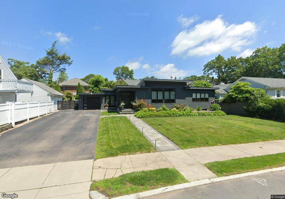
210 Laurel Ave Providence, RI 02906
Blackstone NeighborhoodEstimated Value: $921,000 - $1,073,000
3
Beds
2
Baths
1,665
Sq Ft
$596/Sq Ft
Est. Value
About This Home
This home is located at 210 Laurel Ave, Providence, RI 02906 and is currently estimated at $992,651, approximately $596 per square foot. 210 Laurel Ave is a home located in Providence County with nearby schools including Montessori Childrens House, Lincoln School, and Jewish Community Day School Of Rhode Island.
Ownership History
Date
Name
Owned For
Owner Type
Purchase Details
Closed on
Oct 17, 2005
Sold by
Taussig Hugo and Taussig Margarite D
Bought by
Ardente Evan P
Current Estimated Value
Home Financials for this Owner
Home Financials are based on the most recent Mortgage that was taken out on this home.
Original Mortgage
$306,000
Outstanding Balance
$163,992
Interest Rate
5.78%
Mortgage Type
Purchase Money Mortgage
Estimated Equity
$828,659
Create a Home Valuation Report for This Property
The Home Valuation Report is an in-depth analysis detailing your home's value as well as a comparison with similar homes in the area
Home Values in the Area
Average Home Value in this Area
Purchase History
| Date | Buyer | Sale Price | Title Company |
|---|---|---|---|
| Ardente Evan P | $490,000 | -- |
Source: Public Records
Mortgage History
| Date | Status | Borrower | Loan Amount |
|---|---|---|---|
| Open | Ardente Evan P | $159,300 | |
| Closed | Ardente Evan P | $158,117 | |
| Closed | Ardente Evan P | $115,000 | |
| Open | Ardente Evan P | $306,000 |
Source: Public Records
Tax History
| Year | Tax Paid | Tax Assessment Tax Assessment Total Assessment is a certain percentage of the fair market value that is determined by local assessors to be the total taxable value of land and additions on the property. | Land | Improvement |
|---|---|---|---|---|
| 2025 | $7,039 | $838,000 | $553,500 | $284,500 |
| 2024 | $11,698 | $637,500 | $369,700 | $267,800 |
| 2023 | $11,698 | $637,500 | $369,700 | $267,800 |
| 2022 | $11,348 | $637,500 | $369,700 | $267,800 |
| 2021 | $12,263 | $499,300 | $296,700 | $202,600 |
| 2020 | $12,263 | $499,300 | $296,700 | $202,600 |
| 2019 | $12,263 | $499,300 | $296,700 | $202,600 |
| 2018 | $14,353 | $449,100 | $269,800 | $179,300 |
| 2017 | $14,353 | $449,100 | $269,800 | $179,300 |
| 2016 | $14,283 | $446,900 | $269,800 | $177,100 |
| 2015 | $14,534 | $439,100 | $260,300 | $178,800 |
| 2014 | $14,820 | $439,100 | $260,300 | $178,800 |
| 2013 | $14,820 | $439,100 | $260,300 | $178,800 |
Source: Public Records
Map
Nearby Homes
- 189 Laurel Ave Unit 189
- 181 Cole Ave Unit 2
- 219 Cole Ave
- 140 Freeman Pkwy
- 233 Cole Ave
- 90 University Ave
- 134 Irving Ave
- 80 Clarendon Ave
- 82 Freeman Pkwy
- 296 Cole Ave
- 125 Taber Ave
- 227 Irving Ave
- 141 Elton St
- 269 Doyle Ave
- 15 Humboldt Ave
- 71 Savoy St
- 30 S Angell St Unit 2
- 20 Taber Ave
- 400 Angell St
- 164 Butler Ave Unit B
- 220 Laurel Ave
- 141 Cole Ave
- 198 Laurel Ave
- 253 Freeman Pkwy
- 245 Freeman Pkwy
- 259 Freeman Pkwy
- 230 Laurel Ave
- 96 Lorraine Ave
- 205 Laurel Ave
- 265 Freeman Pkwy
- 133 Cole Ave
- 271 Freeman Pkwy
- 97 Lorraine Ave
- 142 Cole Ave
- 86 Lorraine Ave
- 123 Cole Ave
- 242 Freeman Pkwy
- 252 Freeman Pkwy
- 235 Freeman Pkwy
- 125 Cole Ave Unit 125 B
Your Personal Tour Guide
Ask me questions while you tour the home.