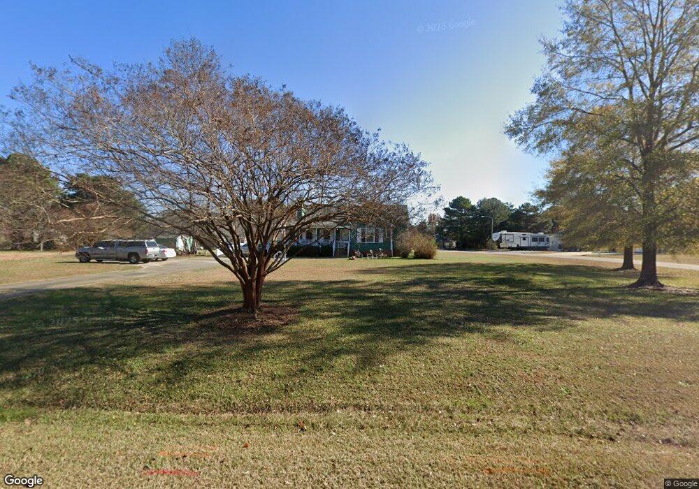
210 Laurel Ridge Dr Clayton, NC 27520
Estimated Value: $336,000 - $348,000
3
Beds
2
Baths
1,434
Sq Ft
$238/Sq Ft
Est. Value
About This Home
This home is located at 210 Laurel Ridge Dr, Clayton, NC 27520 and is currently estimated at $341,673, approximately $238 per square foot. 210 Laurel Ridge Dr is a home located in Johnston County with nearby schools including West Clayton Elementary School, Clayton Middle School, and Clayton High.
Ownership History
Date
Name
Owned For
Owner Type
Purchase Details
Closed on
Jun 18, 2014
Sold by
Pitts Maureen T
Bought by
Cuc Christopher James and Cuc Adam Diane
Current Estimated Value
Purchase Details
Closed on
Sep 13, 2005
Sold by
Livingston Jack W and Livingston Kelley T
Bought by
Pitts Maureen T
Home Financials for this Owner
Home Financials are based on the most recent Mortgage that was taken out on this home.
Original Mortgage
$129,000
Interest Rate
6.37%
Mortgage Type
Adjustable Rate Mortgage/ARM
Create a Home Valuation Report for This Property
The Home Valuation Report is an in-depth analysis detailing your home's value as well as a comparison with similar homes in the area
Home Values in the Area
Average Home Value in this Area
Purchase History
| Date | Buyer | Sale Price | Title Company |
|---|---|---|---|
| Cuc Christopher James | $150,000 | None Available | |
| Pitts Maureen T | $129,000 | None Available |
Source: Public Records
Mortgage History
| Date | Status | Borrower | Loan Amount |
|---|---|---|---|
| Previous Owner | Pitts Maureen T | $129,000 |
Source: Public Records
Tax History Compared to Growth
Tax History
| Year | Tax Paid | Tax Assessment Tax Assessment Total Assessment is a certain percentage of the fair market value that is determined by local assessors to be the total taxable value of land and additions on the property. | Land | Improvement |
|---|---|---|---|---|
| 2025 | $2,046 | $322,260 | $85,000 | $237,260 |
| 2024 | $1,475 | $182,120 | $44,000 | $138,120 |
| 2023 | $1,530 | $182,120 | $44,000 | $138,120 |
| 2022 | $1,543 | $182,120 | $44,000 | $138,120 |
| 2021 | $1,543 | $182,120 | $44,000 | $138,120 |
| 2020 | $1,598 | $182,120 | $44,000 | $138,120 |
| 2019 | $1,598 | $182,120 | $44,000 | $138,120 |
| 2018 | $737 | $136,950 | $30,000 | $106,950 |
| 2017 | $983 | $136,950 | $30,000 | $106,950 |
| 2016 | $1,202 | $136,950 | $30,000 | $106,950 |
| 2015 | -- | $119,650 | $30,000 | $89,650 |
| 2014 | -- | $119,650 | $30,000 | $89,650 |
Source: Public Records
Map
Nearby Homes
- 479 Winding Wood Dr
- 128 E Moss Creek Dr
- 212 Wexford Dr
- 200 Waterford Dr
- 128 Glengariff Ln
- 117 Butternut Ln
- 113 Butternut Ln
- 316 Waterford Dr
- 3069 Buttonwood Ln
- 215 W Moss Creek Dr
- 104 Wood Bend Ct
- 1812 Parkside Village Dr
- 5721 Satinwood Dr
- 200 Hocutt Dr
- 342 Durwin Ln
- 34 Belhaven Dr
- 200 Hunter Way
- 3009 Wynston Way
- 1261 Grovewood Dr
- 3001 Softwind Dr
- 206 Laurel Ridge Dr
- 0 Laurel Ridge Dr Unit 2425023
- 0 Laurel Ridge Dr Unit 2443338
- 0 Laurel Ridge Dr
- 4 Morning Dove Ct
- 300 Laurel Ridge Dr
- 209 Laurel Ridge Dr
- 6 Morning Dove Ct
- 3 Morning Dove Ct
- 205 Laurel Ridge Dr
- 202 Laurel Ridge Dr
- 304 Laurel Ridge Dr
- 3 Chestnut Dr
- 201 Laurel Ridge Dr
- 303 Laurel Ridge Dr
- 149 State Ave Unit 19
- 149 State Ave
- 479 Winding Wood Dr Unit 44B
- 5 Chestnut Dr
- 308 Laurel Ridge Dr