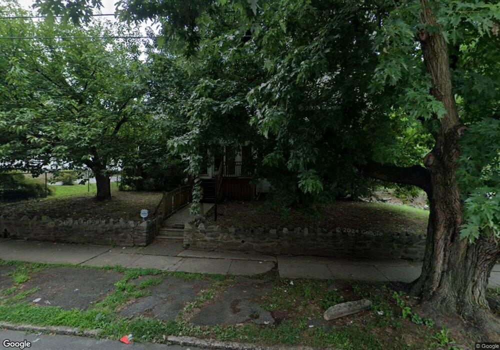
210 Lewis Ave Lansdowne, PA 19050
Estimated Value: $233,000 - $264,302
3
Beds
2
Baths
1,222
Sq Ft
$209/Sq Ft
Est. Value
About This Home
This home is located at 210 Lewis Ave, Lansdowne, PA 19050 and is currently estimated at $255,326, approximately $208 per square foot. 210 Lewis Ave is a home located in Delaware County with nearby schools including East Lansdowne Elementary School, Penn Wood Middle School, and Penn Wood High School - Cypress Street Campus.
Ownership History
Date
Name
Owned For
Owner Type
Purchase Details
Closed on
Jan 17, 2007
Sold by
Estate Of Michael Kealey
Bought by
Daniels Margaret
Current Estimated Value
Home Financials for this Owner
Home Financials are based on the most recent Mortgage that was taken out on this home.
Original Mortgage
$143,825
Interest Rate
6.27%
Mortgage Type
FHA
Create a Home Valuation Report for This Property
The Home Valuation Report is an in-depth analysis detailing your home's value as well as a comparison with similar homes in the area
Home Values in the Area
Average Home Value in this Area
Purchase History
| Date | Buyer | Sale Price | Title Company |
|---|---|---|---|
| Daniels Margaret | $145,000 | None Available |
Source: Public Records
Mortgage History
| Date | Status | Borrower | Loan Amount |
|---|---|---|---|
| Previous Owner | Daniels Margaret | $143,825 |
Source: Public Records
Tax History Compared to Growth
Tax History
| Year | Tax Paid | Tax Assessment Tax Assessment Total Assessment is a certain percentage of the fair market value that is determined by local assessors to be the total taxable value of land and additions on the property. | Land | Improvement |
|---|---|---|---|---|
| 2025 | $6,580 | $154,000 | $55,000 | $99,000 |
| 2024 | $6,580 | $154,000 | $55,000 | $99,000 |
| 2023 | $4,920 | $154,000 | $55,000 | $99,000 |
| 2022 | $5,935 | $154,000 | $55,000 | $99,000 |
| 2021 | $8,849 | $154,000 | $55,000 | $99,000 |
| 2020 | $5,681 | $86,260 | $23,790 | $62,470 |
| 2019 | $5,586 | $86,260 | $23,790 | $62,470 |
| 2018 | $5,513 | $86,260 | $0 | $0 |
| 2017 | $5,231 | $86,260 | $0 | $0 |
| 2016 | $473 | $86,260 | $0 | $0 |
| 2015 | $473 | $86,260 | $0 | $0 |
| 2014 | $473 | $86,260 | $0 | $0 |
Source: Public Records
Map
Nearby Homes
- 7129 Seaford Rd
- 7123 Seaford Rd
- 726 Copley Rd
- 7162 Radbourne Rd
- 7155 Radbourne Rd
- 7026 Atlantic Ave
- 7042 Clinton Rd
- 7216 Clinton Rd
- 669 Long Ln
- 7229 Clinton Rd
- 7046 Radbourne Rd
- 608 Pembroke Ave
- 7000 Greenwood Ave
- 607 Littlecroft Rd
- 404 Croyden Rd
- 7154 Ruskin Ln
- 6858 Clover Ln
- 7247 Guilford Rd
- 226 E Greenwood Ave
- 319 E Essex Ave
- 204 Lewis Ave
- 216 Lewis Ave
- 202 Lewis Ave
- 200 Lewis Ave
- 211 Penn Blvd
- 220 Lewis Ave
- 215 Penn Blvd
- 205 Penn Blvd
- 222 Lewis Ave Unit 2nd Floor
- 222 Lewis Ave
- 201 Penn Blvd
- 207 Lewis Ave
- 223 Penn Blvd
- 211 Lewis Ave
- 224 Lewis Ave
- 201 Lewis Ave
- 217 Lewis Ave
- 225 Lewis Ave
- 225 Penn Blvd
- 171 Lewis Ave Unit B