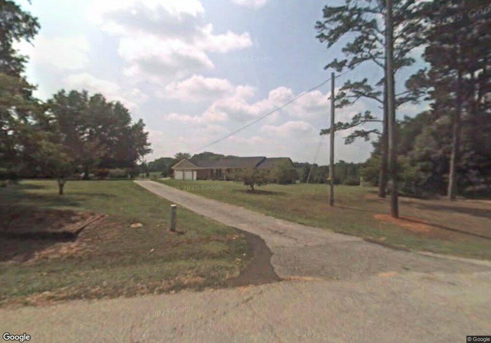
210 Link Rd Pendleton, SC 29670
Estimated Value: $317,619 - $372,000
3
Beds
--
Bath
1,688
Sq Ft
$202/Sq Ft
Est. Value
About This Home
This home is located at 210 Link Rd, Pendleton, SC 29670 and is currently estimated at $341,155, approximately $202 per square foot. 210 Link Rd is a home with nearby schools including Pendleton High School.
Ownership History
Date
Name
Owned For
Owner Type
Purchase Details
Closed on
Jul 16, 2007
Sold by
Smith Alphonso C
Bought by
Tribble Andrew G and Tribble Jessica B
Current Estimated Value
Home Financials for this Owner
Home Financials are based on the most recent Mortgage that was taken out on this home.
Original Mortgage
$95,000
Outstanding Balance
$59,440
Interest Rate
6.52%
Mortgage Type
Purchase Money Mortgage
Estimated Equity
$281,715
Purchase Details
Closed on
Jun 2, 2003
Sold by
Tribble Andrew G
Bought by
Smith Alphonso
Create a Home Valuation Report for This Property
The Home Valuation Report is an in-depth analysis detailing your home's value as well as a comparison with similar homes in the area
Home Values in the Area
Average Home Value in this Area
Purchase History
| Date | Buyer | Sale Price | Title Company |
|---|---|---|---|
| Tribble Andrew G | $165,000 | Attorney | |
| Smith Alphonso | $140,000 | -- |
Source: Public Records
Mortgage History
| Date | Status | Borrower | Loan Amount |
|---|---|---|---|
| Open | Tribble Andrew G | $95,000 |
Source: Public Records
Tax History
| Year | Tax Paid | Tax Assessment Tax Assessment Total Assessment is a certain percentage of the fair market value that is determined by local assessors to be the total taxable value of land and additions on the property. | Land | Improvement |
|---|---|---|---|---|
| 2024 | $1,398 | $9,050 | $440 | $8,610 |
| 2023 | $1,388 | $9,050 | $440 | $8,610 |
| 2022 | $1,220 | $9,050 | $440 | $8,610 |
| 2021 | $1,064 | $7,510 | $430 | $7,080 |
| 2020 | $1,047 | $7,510 | $430 | $7,080 |
| 2019 | $1,047 | $7,510 | $430 | $7,080 |
| 2018 | $1,055 | $7,510 | $430 | $7,080 |
| 2017 | -- | $7,510 | $430 | $7,080 |
| 2016 | $1,052 | $7,370 | $300 | $7,070 |
| 2015 | $1,058 | $7,370 | $300 | $7,070 |
| 2014 | $1,088 | $7,370 | $300 | $7,070 |
Source: Public Records
Map
Nearby Homes
- 00 Liberty Hwy
- 354 Harper Rd
- 6620 Liberty Hwy
- 616 Anderson Rd
- 540 Seaborn Cir
- 538 Seaborn Cir
- 139 Louise Dr
- 145 Old Sanders Rd
- 102 Rogers Rd
- 0 Cherry Street Extension
- 2921 Old Greenville Hwy
- 2923 Old Greenville Hwy
- 2925 Old Greenville Hwy
- 00 Danenhower Rd
- 150 Queens Mill Ct
- 156 Queens Mill Ct
- 168 Queens Mill Ct
- 208 Rogers Rd
- 1000 Hopkins Ave
- 1409 Autun Rd
Your Personal Tour Guide
Ask me questions while you tour the home.