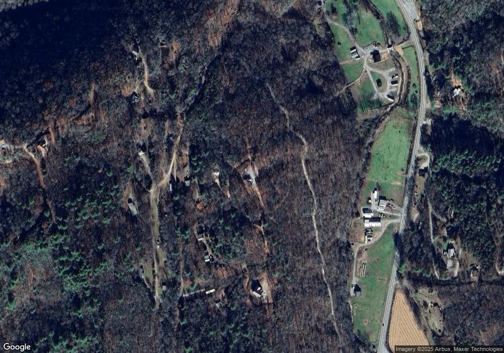
210 Little Rock Rd Unit 7 Marble, NC 28905
Estimated Value: $359,000 - $573,000
4
Beds
4
Baths
1,956
Sq Ft
$236/Sq Ft
Est. Value
About This Home
This home is located at 210 Little Rock Rd Unit 7, Marble, NC 28905 and is currently estimated at $461,408, approximately $235 per square foot. 210 Little Rock Rd Unit 7 is a home located in Cherokee County with nearby schools including Marble Elementary, Andrews Middle School, and Andrews High School.
Ownership History
Date
Name
Owned For
Owner Type
Purchase Details
Closed on
Aug 24, 2022
Sold by
Rowe Elizabeth A
Bought by
Smith Tenancy By The Entirety Trust
Current Estimated Value
Purchase Details
Closed on
Oct 13, 2015
Sold by
Yalcinsoy Ibrahim
Bought by
Rown Robert A and Rowe Elizabeth A
Home Financials for this Owner
Home Financials are based on the most recent Mortgage that was taken out on this home.
Original Mortgage
$189,999
Interest Rate
3.93%
Mortgage Type
VA
Purchase Details
Closed on
Oct 17, 2005
Sold by
Coleman Steve and Coleman Billie Fay
Bought by
Yalcinsoy Ibrahim
Create a Home Valuation Report for This Property
The Home Valuation Report is an in-depth analysis detailing your home's value as well as a comparison with similar homes in the area
Home Values in the Area
Average Home Value in this Area
Purchase History
| Date | Buyer | Sale Price | Title Company |
|---|---|---|---|
| Smith Tenancy By The Entirety Trust | $290,000 | Cowan & Cowan Pa | |
| Rown Robert A | $186,000 | None Available | |
| Yalcinsoy Ibrahim | $41,500 | -- |
Source: Public Records
Mortgage History
| Date | Status | Borrower | Loan Amount |
|---|---|---|---|
| Previous Owner | Rown Robert A | $189,999 |
Source: Public Records
Tax History Compared to Growth
Tax History
| Year | Tax Paid | Tax Assessment Tax Assessment Total Assessment is a certain percentage of the fair market value that is determined by local assessors to be the total taxable value of land and additions on the property. | Land | Improvement |
|---|---|---|---|---|
| 2025 | $2,309 | $334,890 | $0 | $0 |
| 2024 | -- | $334,890 | $0 | $0 |
| 2023 | -- | $334,890 | $0 | $0 |
| 2022 | $0 | $251,940 | $0 | $0 |
| 2021 | $1,471 | $251,940 | $10,000 | $241,940 |
| 2020 | $1,370 | $251,940 | $0 | $0 |
| 2019 | $1,343 | $218,950 | $0 | $0 |
| 2018 | $1,107 | $178,310 | $0 | $0 |
| 2017 | $1,107 | $178,310 | $0 | $0 |
| 2016 | $1,107 | $178,310 | $0 | $0 |
| 2015 | $1,381 | $187,360 | $31,090 | $156,270 |
| 2012 | -- | $225,590 | $41,450 | $184,140 |
Source: Public Records
Map
Nearby Homes
- Lot 42 Silo View Rd
- 44 & 45 Silo View Rd
- Lot 43 Silo View Rd
- 38 Smokey Mountain Ridge
- 643 Zekes Trail
- Lot 14 Paradise Mountain
- 185 Burnt Branch Rd
- 187 Gardenia Ct
- Lot 9 Paradise Mountain
- Lot 7 Paradise Mountain
- 173 Gardenia Ct
- 3480 Airport Rd
- 00 Coalville Rd
- 850 Bluff Rd
- 55 Bluejay Ln
- 294 Sunnyside Ln
- Lots 2,3 Jasmine Dr
- 120 Hyatt Creek Rd
- 221 Hunter Ln
- Lot 16 Paradise Mountain
- 210 Little Rock Rd
- 210 Little Rock Rd
- 272 Little Rock Rd
- 219 Little Rock Rd
- 185 Little Rock Rd
- 125 Boulder Rock Ridge
- L 11 Little Rock Rd
- 00 Little Rock Rd
- 11 Little Rock Rd
- Lot 11 Little Rock Rd
- Lot 3 Little Rock Rd
- 9 Boulder Rock Ridge
- 0 High Falls Rd
- 66 Little Rock Rd
- 75 Lower Boulder Rock Ln
- 38 Little Rock Rd
- 66 Little Rock
- 63 Lower Boulder Rock Ln
- 00 High Falls Rd
- 000 High Falls Rd
