210 Lois Ln Schenectady, NY 12304
Estimated Value: $366,806 - $392,000
2
Beds
2
Baths
1,485
Sq Ft
$255/Sq Ft
Est. Value
About This Home
This home is located at 210 Lois Ln, Schenectady, NY 12304 and is currently estimated at $379,202, approximately $255 per square foot. 210 Lois Ln is a home located in Schenectady County with nearby schools including Veeder Elementary School, Lisha Kill Middle School, and Waverly Elementary School.
Ownership History
Date
Name
Owned For
Owner Type
Purchase Details
Closed on
Oct 20, 2017
Sold by
Grant Thomas and Grant Valerie
Bought by
Kennedy Patricia
Current Estimated Value
Home Financials for this Owner
Home Financials are based on the most recent Mortgage that was taken out on this home.
Original Mortgage
$234,000
Outstanding Balance
$214,348
Interest Rate
8.33%
Mortgage Type
Purchase Money Mortgage
Estimated Equity
$164,854
Purchase Details
Closed on
Nov 15, 2013
Sold by
Condo Partners Llc
Bought by
Grant Thomas and Grant Valerie
Home Financials for this Owner
Home Financials are based on the most recent Mortgage that was taken out on this home.
Original Mortgage
$231,320
Interest Rate
4.29%
Mortgage Type
New Conventional
Create a Home Valuation Report for This Property
The Home Valuation Report is an in-depth analysis detailing your home's value as well as a comparison with similar homes in the area
Home Values in the Area
Average Home Value in this Area
Purchase History
| Date | Buyer | Sale Price | Title Company |
|---|---|---|---|
| Kennedy Patricia | $292,500 | American Land Title | |
| Grant Thomas | $256,000 | None Available |
Source: Public Records
Mortgage History
| Date | Status | Borrower | Loan Amount |
|---|---|---|---|
| Open | Kennedy Patricia | $234,000 | |
| Previous Owner | Grant Thomas | $231,320 |
Source: Public Records
Tax History Compared to Growth
Tax History
| Year | Tax Paid | Tax Assessment Tax Assessment Total Assessment is a certain percentage of the fair market value that is determined by local assessors to be the total taxable value of land and additions on the property. | Land | Improvement |
|---|---|---|---|---|
| 2024 | $7,918 | $260,000 | $10,000 | $250,000 |
| 2023 | $8,050 | $260,000 | $10,000 | $250,000 |
| 2022 | $7,628 | $260,000 | $10,000 | $250,000 |
| 2021 | $7,507 | $260,000 | $10,000 | $250,000 |
| 2020 | $3,995 | $260,000 | $10,000 | $250,000 |
| 2019 | $1,998 | $260,000 | $10,000 | $250,000 |
| 2018 | $4,086 | $260,000 | $10,000 | $250,000 |
| 2017 | $3,619 | $260,000 | $10,000 | $250,000 |
| 2016 | $3,657 | $260,000 | $10,000 | $250,000 |
| 2015 | -- | $260,000 | $10,000 | $250,000 |
| 2014 | -- | $245,000 | $10,000 | $235,000 |
Source: Public Records
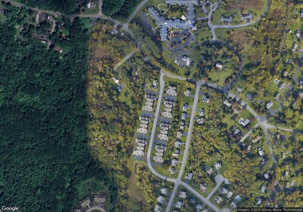
Map
Nearby Homes
- 612 Lois Ln
- 4110 Consaul Rd
- 1143 Clute Crest Dr
- 630 St Davids Ln
- 362 Ferris Rd
- 3613 Becker St
- 1 Laurel Ln
- 16 Warwick Way
- 3944 Becker St
- 694 St Marks Ln
- 2449 Westminster Way
- 756 Hampshire Seat
- 28 Fullerton Ave
- 44 Shepard Ave
- 859 Hereford Way
- 325 Midland Ave
- 2220 Central Ave
- 79 Starr Ave
- 401 Stanford Ave
- 31 St George Place