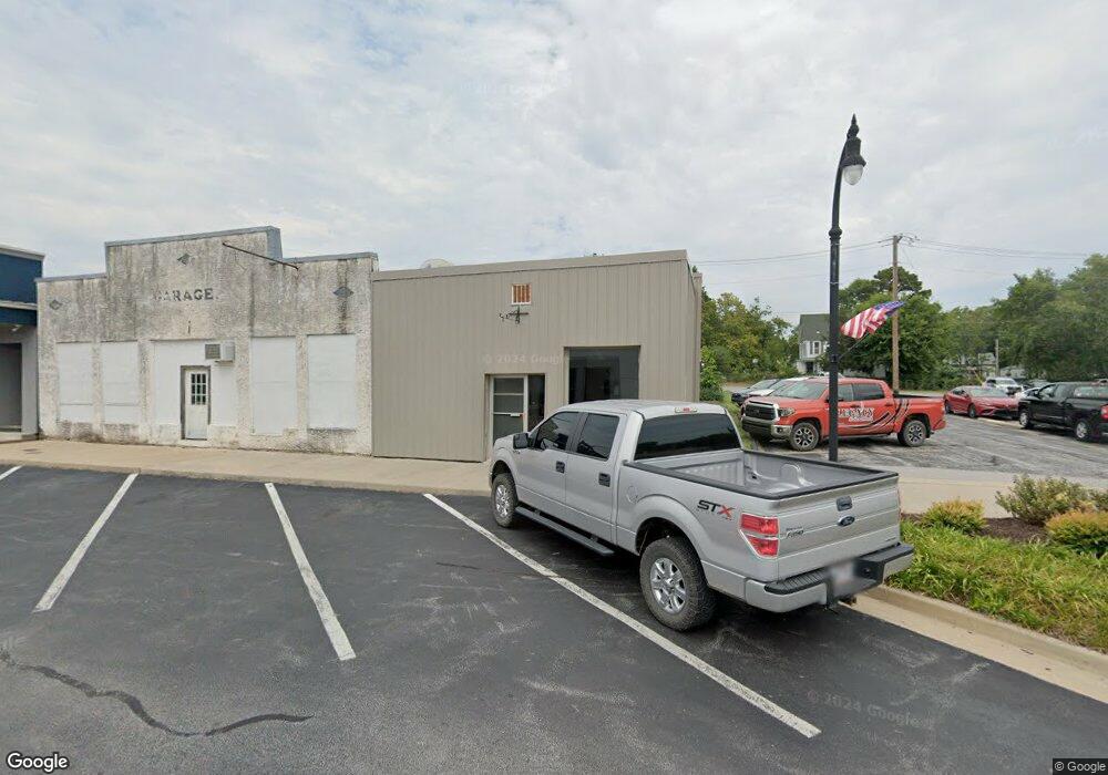
210 Main St NE Gravette, AR 72736
Estimated Value: $146,005
Studio
--
Bath
1,200
Sq Ft
$122/Sq Ft
Est. Value
About This Home
This home is located at 210 Main St NE, Gravette, AR 72736 and is currently estimated at $146,005, approximately $121 per square foot. 210 Main St NE is a home located in Benton County with nearby schools including Glenn Duffy Elementary School, Gravette Upper Elementary School, and Gravette Middle School.
Ownership History
Date
Name
Owned For
Owner Type
Purchase Details
Closed on
Jun 7, 2022
Sold by
Snodgrass Benjamin G and Snodgrass Tiffany
Bought by
Jom Ventures Llc
Current Estimated Value
Purchase Details
Closed on
May 12, 2016
Sold by
Casey James F and Casey Linda S
Bought by
Snodgrass Benjamin G and Snodgrass Tiffany
Home Financials for this Owner
Home Financials are based on the most recent Mortgage that was taken out on this home.
Original Mortgage
$31,819
Interest Rate
3.58%
Mortgage Type
Commercial
Purchase Details
Closed on
Dec 17, 2002
Bought by
Casey
Purchase Details
Closed on
Jun 3, 1986
Bought by
Nale
Purchase Details
Closed on
May 18, 1986
Bought by
Williams
Create a Home Valuation Report for This Property
The Home Valuation Report is an in-depth analysis detailing your home's value as well as a comparison with similar homes in the area
Home Values in the Area
Average Home Value in this Area
Purchase History
| Date | Buyer | Sale Price | Title Company |
|---|---|---|---|
| Jom Ventures Llc | $125,000 | Murphy Caitlin J | |
| Snodgrass Benjamin G | $23,000 | Pci Advance Title Llc | |
| Casey | -- | -- | |
| Nale | -- | -- | |
| Nale | $18,000 | -- | |
| Williams | $5,000 | -- |
Source: Public Records
Mortgage History
| Date | Status | Borrower | Loan Amount |
|---|---|---|---|
| Previous Owner | Snodgrass Benjamin G | $31,819 |
Source: Public Records
Tax History
| Year | Tax Paid | Tax Assessment Tax Assessment Total Assessment is a certain percentage of the fair market value that is determined by local assessors to be the total taxable value of land and additions on the property. | Land | Improvement |
|---|---|---|---|---|
| 2025 | $444 | $17,391 | $2,352 | $15,039 |
| 2024 | $398 | $17,391 | $2,352 | $15,039 |
| 2023 | $362 | $7,380 | $2,350 | $5,030 |
| 2022 | $380 | $7,380 | $2,350 | $5,030 |
| 2021 | $377 | $7,380 | $2,350 | $5,030 |
| 2020 | $380 | $7,380 | $2,350 | $5,030 |
| 2019 | $380 | $7,380 | $2,350 | $5,030 |
| 2018 | $380 | $7,380 | $2,350 | $5,030 |
| 2017 | $362 | $7,380 | $2,350 | $5,030 |
| 2016 | $443 | $7,380 | $2,350 | $5,030 |
| 2015 | $443 | $8,980 | $3,020 | $5,960 |
| 2014 | $443 | $8,980 | $3,020 | $5,960 |
Source: Public Records
Map
Nearby Homes
- 408 Main St NE
- 501 Main St SE
- 1st Avenue NE
- 0 Arkansas 72
- 504 4th Ave NE
- 505 Birmingham St SE
- 609 Atlanta St SE
- 510 2nd Ave SE
- 262 Dallas St SW
- 1001 Main St SE
- 704 2nd Ave SW
- 109 11th Ave SE
- 1305 Eagle Ct
- 106 Deer Ridge Rd NE
- 0 Ridge Rd Unit 1318172
- 904 4th Ave SW
- 305 Irving St SW
- 900 Almond St SW
- TBD Nelson Park Rd
- 1864 1st Ave NE
- 208 Main St NE
- 202 Main St NE
- 107 3rd Ave NE
- 6 SE 2nd Str St
- 201 Main St SE
- 207 Main St SE Unit A & B
- 207 Main St SE
- 100 2nd Ave SE
- 104 3rd Ave NE
- 104 3rd St
- 126 Main St NE
- 106 3rd Ave NE
- 122 NE Main
- 127 Main St SE
- 120 Main St NE
- 127 Main St
- 105 2nd Ave NE
- 0 2nd Street Ne & Acron
- 125 Main St SE
- 125 Main St SE Unit A&B
Your Personal Tour Guide
Ask me questions while you tour the home.