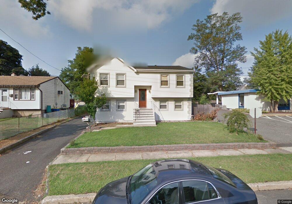
210 Main St South Bound Brook, NJ 08880
Estimated Value: $299,000 - $548,168
--
Bed
--
Bath
--
Sq Ft
5,706
Sq Ft Lot
About This Home
This home is located at 210 Main St, South Bound Brook, NJ 08880 and is currently estimated at $467,792. 210 Main St is a home located in Somerset County with nearby schools including Robert Morris School, St. Frances Cabrini School, and Green Brook Academy.
Ownership History
Date
Name
Owned For
Owner Type
Purchase Details
Closed on
Apr 5, 2010
Sold by
Bayview Loan Servicing Llc
Bought by
Athanasopoulos George
Current Estimated Value
Purchase Details
Closed on
Apr 4, 2008
Sold by
Shott Natalie
Bought by
Bayview Loan Servicing Llc
Purchase Details
Closed on
Nov 5, 2004
Sold by
Lutzko Michael
Bought by
Shott Natalie
Home Financials for this Owner
Home Financials are based on the most recent Mortgage that was taken out on this home.
Original Mortgage
$220,500
Interest Rate
5.75%
Create a Home Valuation Report for This Property
The Home Valuation Report is an in-depth analysis detailing your home's value as well as a comparison with similar homes in the area
Home Values in the Area
Average Home Value in this Area
Purchase History
| Date | Buyer | Sale Price | Title Company |
|---|---|---|---|
| Athanasopoulos George | $175,000 | None Available | |
| Bayview Loan Servicing Llc | -- | None Available | |
| Shott Natalie | $315,000 | -- |
Source: Public Records
Mortgage History
| Date | Status | Borrower | Loan Amount |
|---|---|---|---|
| Previous Owner | Shott Natalie | $220,500 |
Source: Public Records
Tax History Compared to Growth
Tax History
| Year | Tax Paid | Tax Assessment Tax Assessment Total Assessment is a certain percentage of the fair market value that is determined by local assessors to be the total taxable value of land and additions on the property. | Land | Improvement |
|---|---|---|---|---|
| 2025 | $11,852 | $310,100 | $147,000 | $163,100 |
| 2024 | $11,852 | $310,100 | $147,000 | $163,100 |
| 2023 | $11,740 | $310,100 | $147,000 | $163,100 |
| 2022 | $10,971 | $310,100 | $147,000 | $163,100 |
| 2021 | $10,813 | $310,100 | $147,000 | $163,100 |
| 2020 | $10,286 | $310,100 | $147,000 | $163,100 |
| 2019 | $10,553 | $310,100 | $147,000 | $163,100 |
| 2018 | $10,494 | $310,100 | $147,000 | $163,100 |
| 2017 | $10,457 | $310,100 | $147,000 | $163,100 |
| 2016 | $10,221 | $310,100 | $147,000 | $163,100 |
| 2015 | $9,951 | $310,100 | $147,000 | $163,100 |
| 2014 | $9,712 | $310,100 | $147,000 | $163,100 |
Source: Public Records
Map
Nearby Homes
- 8 Von Steuben Ln
- 3 Edgewood Terrace
- 285 Maple Ave
- 71 Remsen St
- 10 Maplehurst Ln
- 15 Maplehurst Ln
- 123 Elizabeth St
- 20 Patriots Path
- 535 Madison Ave
- 165 Prospect St
- 231 Beck Ave
- 63 Crestwood St
- 206 Bathgate Ave
- 112 East St
- 208 Sanders Ave
- 2 Drake St
- 68 Owen Ct
- 230 Oak Dr
- 205 Ashland Rd
- 112-114 E Union Ave