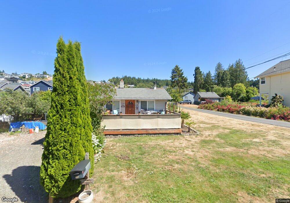
210 Maple St Camano Island, WA 98282
Estimated Value: $391,000 - $469,230
2
Beds
1
Bath
792
Sq Ft
$562/Sq Ft
Est. Value
About This Home
This home is located at 210 Maple St, Camano Island, WA 98282 and is currently estimated at $444,808, approximately $561 per square foot. 210 Maple St is a home located in Island County with nearby schools including Utsalady Elementary School, Port Susan Middle School, and Stanwood High School.
Ownership History
Date
Name
Owned For
Owner Type
Purchase Details
Closed on
Mar 10, 2006
Sold by
Almy Barbara K
Bought by
Inman Satcha R
Current Estimated Value
Home Financials for this Owner
Home Financials are based on the most recent Mortgage that was taken out on this home.
Original Mortgage
$147,834
Outstanding Balance
$82,632
Interest Rate
6.08%
Mortgage Type
FHA
Estimated Equity
$362,176
Create a Home Valuation Report for This Property
The Home Valuation Report is an in-depth analysis detailing your home's value as well as a comparison with similar homes in the area
Home Values in the Area
Average Home Value in this Area
Purchase History
| Date | Buyer | Sale Price | Title Company |
|---|---|---|---|
| Inman Satcha R | $149,950 | Chicago Title Insurance Co |
Source: Public Records
Mortgage History
| Date | Status | Borrower | Loan Amount |
|---|---|---|---|
| Open | Inman Satcha R | $147,834 |
Source: Public Records
Tax History Compared to Growth
Tax History
| Year | Tax Paid | Tax Assessment Tax Assessment Total Assessment is a certain percentage of the fair market value that is determined by local assessors to be the total taxable value of land and additions on the property. | Land | Improvement |
|---|---|---|---|---|
| 2025 | $2,845 | $380,530 | $275,000 | $105,530 |
| 2024 | $2,928 | $384,586 | $275,000 | $109,586 |
| 2023 | $2,928 | $380,535 | $269,000 | $111,535 |
| 2022 | $2,287 | $336,914 | $249,000 | $87,914 |
| 2021 | $2,344 | $244,910 | $167,000 | $77,910 |
| 2020 | $2,251 | $243,284 | $167,000 | $76,284 |
| 2019 | $1,961 | $230,633 | $177,000 | $53,633 |
| 2018 | $2,421 | $200,876 | $147,000 | $53,876 |
| 2017 | $1,720 | $230,736 | $180,000 | $50,736 |
| 2016 | $1,367 | $181,126 | $140,000 | $41,126 |
| 2015 | $1,406 | $137,549 | $95,616 | $41,933 |
| 2013 | -- | $139,162 | $95,616 | $43,546 |
Source: Public Records
Map
Nearby Homes
- 176 N Maple St
- 211 N Sunset Dr
- 243 Henning Dr
- 150 Henning Dr
- 276 Melissa St
- 902 Madrona Beach Rd
- 133 Melissa St
- 212 Grandview Ave
- 329 Burke Dr
- 350 N Sunset Dr
- 329 Melissa St
- 345 Seaview Ct
- 759 Vista Dr
- 10 Edgewater Dr
- 900 N Sunset Dr
- 628 N Sunset Dr
- 870 Cedar Ln
- 2 XX Woodland Beach Rd
- 441 Windsun Way
- 304 S Dove Dr
- 210 N Maple St
- 214 N Maple St
- 228 X N Maple St
- 0 XXX N Maple St
- 218 Maple St
- 209 Tarragon Ave
- 0 N Maple St Unit 1261247
- 0 N Maple St Unit NWM2336750
- 0 N Maple St Unit NWM2240679
- 207 Tarragon Ave
- 214 Madrona St
- 206 N Maple St
- 212 Madrona St
- 213 N Tarragon Ave
- 219 Maple St
- 215 Tarragon Ave
- 222 Maple St
- 221 Maple St
- 201 Tarragon Ave
- 208 Maple St