210 Marbrook Trace Unit 32 Oxford, GA 30054
Estimated Value: $287,702 - $316,000
3
Beds
2
Baths
1,669
Sq Ft
$182/Sq Ft
Est. Value
About This Home
This home is located at 210 Marbrook Trace Unit 32, Oxford, GA 30054 and is currently estimated at $304,426, approximately $182 per square foot. 210 Marbrook Trace Unit 32 is a home located in Newton County with nearby schools including Flint Hill Elementary School, Cousins Middle School, and Newton High School.
Ownership History
Date
Name
Owned For
Owner Type
Purchase Details
Closed on
May 10, 2016
Sold by
Berube Shaun E
Bought by
Kemp Sha Donna Katrice
Current Estimated Value
Home Financials for this Owner
Home Financials are based on the most recent Mortgage that was taken out on this home.
Original Mortgage
$134,300
Outstanding Balance
$110,491
Interest Rate
3.58%
Mortgage Type
New Conventional
Estimated Equity
$193,935
Purchase Details
Closed on
Mar 18, 2013
Sold by
Berube Shaun
Bought by
Berube Shaun E and Berube Brittany J
Home Financials for this Owner
Home Financials are based on the most recent Mortgage that was taken out on this home.
Original Mortgage
$135,413
Interest Rate
3.75%
Mortgage Type
FHA
Create a Home Valuation Report for This Property
The Home Valuation Report is an in-depth analysis detailing your home's value as well as a comparison with similar homes in the area
Home Values in the Area
Average Home Value in this Area
Purchase History
| Date | Buyer | Sale Price | Title Company |
|---|---|---|---|
| Kemp Sha Donna Katrice | $134,300 | -- | |
| Berube Shaun E | -- | -- |
Source: Public Records
Mortgage History
| Date | Status | Borrower | Loan Amount |
|---|---|---|---|
| Open | Kemp Sha Donna Katrice | $134,300 | |
| Previous Owner | Berube Shaun E | $135,413 |
Source: Public Records
Tax History Compared to Growth
Tax History
| Year | Tax Paid | Tax Assessment Tax Assessment Total Assessment is a certain percentage of the fair market value that is determined by local assessors to be the total taxable value of land and additions on the property. | Land | Improvement |
|---|---|---|---|---|
| 2024 | $2,778 | $112,720 | $18,000 | $94,720 |
| 2023 | $2,631 | $100,080 | $7,600 | $92,480 |
| 2022 | $1,952 | $75,080 | $7,600 | $67,480 |
| 2021 | $2,031 | $70,200 | $7,600 | $62,600 |
| 2020 | $1,867 | $58,840 | $7,600 | $51,240 |
| 2019 | $2,018 | $62,440 | $7,600 | $54,840 |
| 2018 | $1,613 | $50,280 | $7,600 | $42,680 |
| 2017 | $1,647 | $51,280 | $7,600 | $43,680 |
| 2016 | $1,237 | $39,320 | $5,000 | $34,320 |
| 2015 | $998 | $32,360 | $5,000 | $27,360 |
| 2014 | $767 | $25,640 | $0 | $0 |
Source: Public Records
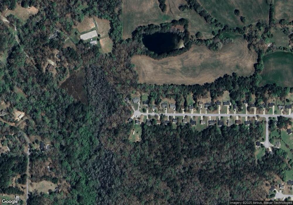
Map
Nearby Homes
- 1830 Mount Zion Rd
- 40 Costleys Bridge Dr
- 2538 Mount Zion Rd
- 370 Hightower Trail
- 1487 Mount Zion Rd
- 2528 Stream View Dr
- 0 Kent Rock Rd Unit Tract 3 CM1025514
- 0 Kent Rock Rd Unit 1025511
- 0 Kent Rock Rd Unit TRACT 3 10511414
- 0 Kent Rock Rd Unit 23453234
- 0 Kent Rock Rd Unit 10511296
- 55 Ashland Farm Rd
- 85 Highlands Way
- 110 Northwood Creek Way
- 0 Stream View Dr Unit LOT 19
- 2040 Costley Mill Rd NE
- 70 Grassy Springs Ct
- 70 Clear Spring Ct
- 200 Clear Spring Ln
- Kent Rock Road Unit: Tract 3
- 210 Marbrook Trace
- 220 Marbrook Trace
- 200 Marbrook Trace Unit 31
- 200 Marbrook Trace
- 190 Marbrook Trace
- 230 Marbrook Trace
- 215 Marbrook Trace
- 225 Marbrook Trace
- 205 Marbrook Trace
- 180 Marbrook Trace
- 195 Marbrook Trace
- 185 Marbrook Trace
- 175 Marbrook Trace
- 175 Marbrook Trace Unit 2
- 170 Marbrook Trace
- 165 Marbrook Trace Unit 41
- 165 Marbrook Trace
- 160 Marbrook Trace Unit 27
- 160 Marbrook Trace
- 150 Marbrook Trace