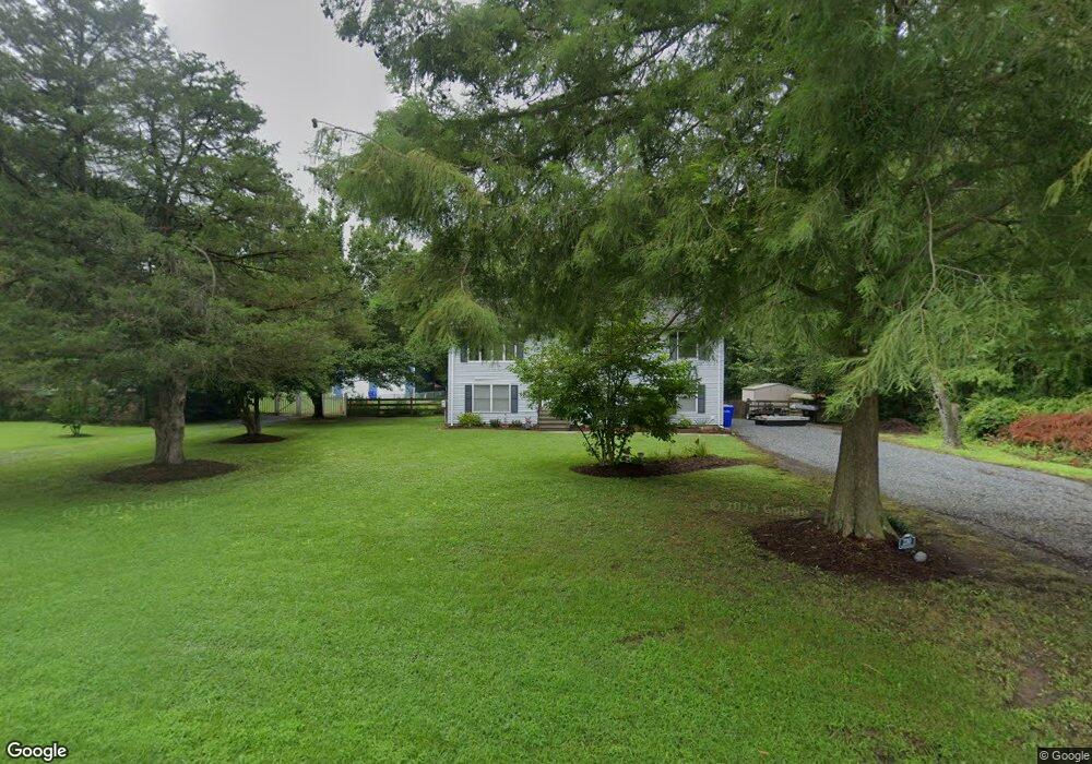
210 Maryland Rd Stevensville, MD 21666
Romancoke NeighborhoodEstimated Value: $461,785 - $504,000
--
Bed
2
Baths
1,232
Sq Ft
$392/Sq Ft
Est. Value
About This Home
This home is located at 210 Maryland Rd, Stevensville, MD 21666 and is currently estimated at $482,696, approximately $391 per square foot. 210 Maryland Rd is a home located in Queen Anne's County with nearby schools including Matapeake Elementary School, Matapeake Middle School, and Kent Island High School.
Ownership History
Date
Name
Owned For
Owner Type
Purchase Details
Closed on
Nov 30, 2001
Sold by
Burke George A and Burke Barbara
Bought by
Volney Darrell J and Volney Rochelle D
Current Estimated Value
Purchase Details
Closed on
Oct 15, 1985
Sold by
Kalnoske Andrew L and Kalnoske Francine I
Bought by
Burke George A
Home Financials for this Owner
Home Financials are based on the most recent Mortgage that was taken out on this home.
Original Mortgage
$48,300
Interest Rate
12.17%
Create a Home Valuation Report for This Property
The Home Valuation Report is an in-depth analysis detailing your home's value as well as a comparison with similar homes in the area
Home Values in the Area
Average Home Value in this Area
Purchase History
| Date | Buyer | Sale Price | Title Company |
|---|---|---|---|
| Volney Darrell J | $172,000 | -- | |
| Burke George A | $16,000 | -- |
Source: Public Records
Mortgage History
| Date | Status | Borrower | Loan Amount |
|---|---|---|---|
| Previous Owner | Burke George A | $48,300 | |
| Closed | Volney Darrell J | -- |
Source: Public Records
Tax History Compared to Growth
Tax History
| Year | Tax Paid | Tax Assessment Tax Assessment Total Assessment is a certain percentage of the fair market value that is determined by local assessors to be the total taxable value of land and additions on the property. | Land | Improvement |
|---|---|---|---|---|
| 2025 | $3,337 | $394,367 | $0 | $0 |
| 2024 | $3,159 | $359,333 | $0 | $0 |
| 2023 | $2,991 | $324,300 | $152,900 | $171,400 |
| 2022 | $2,847 | $307,367 | $0 | $0 |
| 2021 | $2,623 | $290,433 | $0 | $0 |
| 2020 | $2,623 | $273,500 | $132,900 | $140,600 |
| 2019 | $2,623 | $273,500 | $132,900 | $140,600 |
| 2018 | $2,683 | $273,500 | $132,900 | $140,600 |
| 2017 | $2,685 | $273,700 | $0 | $0 |
| 2016 | -- | $265,300 | $0 | $0 |
| 2015 | $1,167 | $256,900 | $0 | $0 |
| 2014 | $1,167 | $248,500 | $0 | $0 |
Source: Public Records
Map
Nearby Homes
- 101 Oak St
- 122 S Carolina Rd
- 321 Oregon Rd
- 116 Talbot Rd
- 306 N Lake Rd
- 224 Wicomico Rd
- 300 Talbot Rd
- 116 Mallard Dr
- 122 Mallard Dr
- 412 Five Farms Dr
- 312 Columbia Ln
- 410 5 Farms Dr
- 303 Queen Anne Club Dr
- 227 Queen Anne Club Dr
- 8905 Romancoke Rd
- Lot 1 - E/Kent Point Romancoke
- 118 N Lake Dr
- 114 N Lake Dr
- 206 Columbia Ln
- 303 Queens Colony High Rd
- 214 Maryland Rd
- 204 Maryland Rd
- 205 Maryland Rd
- 218 Maryland Rd
- 209 Maryland Rd
- 202 Maryland Rd
- 100 Oak St
- 213 Maryland Rd
- 200 Maryland Rd
- 222 Maryland Rd
- 0 Maryland Rd
- 134 Maryland Rd
- 204 New Jersey Rd
- 224 Maryland Rd
- 217 Maryland Rd
- 208 New Jersey Rd
- 132 Maryland Rd
- 103 Oak St
- 110 Oak St
- 212 New Jersey Rd