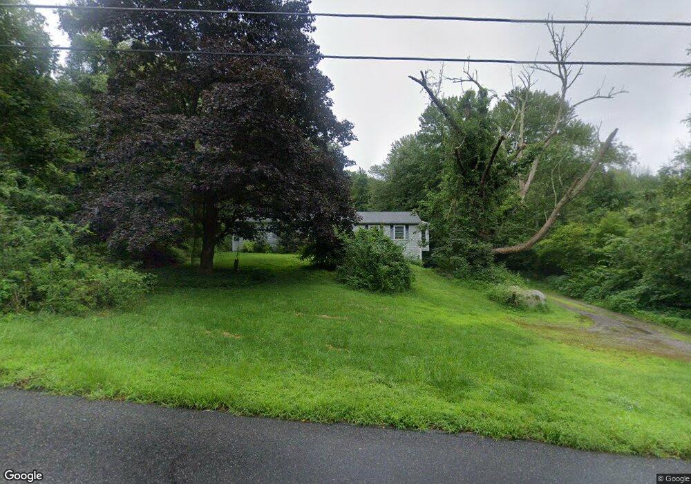
210 Mccall Rd Lebanon, CT 06249
Estimated Value: $349,000 - $384,000
3
Beds
2
Baths
1,416
Sq Ft
$260/Sq Ft
Est. Value
About This Home
This home is located at 210 Mccall Rd, Lebanon, CT 06249 and is currently estimated at $368,361, approximately $260 per square foot. 210 Mccall Rd is a home located in New London County with nearby schools including Lebanon Elementary School, Lebanon Middle School, and Lyman Memorial High School.
Ownership History
Date
Name
Owned For
Owner Type
Purchase Details
Closed on
Jul 23, 2012
Sold by
Fnma
Bought by
Mosdale Janine M and Mosdale Phillip J
Current Estimated Value
Home Financials for this Owner
Home Financials are based on the most recent Mortgage that was taken out on this home.
Original Mortgage
$158,707
Outstanding Balance
$109,709
Interest Rate
3.7%
Mortgage Type
New Conventional
Estimated Equity
$258,652
Create a Home Valuation Report for This Property
The Home Valuation Report is an in-depth analysis detailing your home's value as well as a comparison with similar homes in the area
Home Values in the Area
Average Home Value in this Area
Purchase History
| Date | Buyer | Sale Price | Title Company |
|---|---|---|---|
| Mosdale Janine M | $155,533 | -- |
Source: Public Records
Mortgage History
| Date | Status | Borrower | Loan Amount |
|---|---|---|---|
| Open | Mosdale Janine M | $158,707 | |
| Previous Owner | Mosdale Janine M | $196,000 | |
| Previous Owner | Mosdale Janine M | $159,000 | |
| Previous Owner | Mosdale Janine M | $90,750 |
Source: Public Records
Tax History Compared to Growth
Tax History
| Year | Tax Paid | Tax Assessment Tax Assessment Total Assessment is a certain percentage of the fair market value that is determined by local assessors to be the total taxable value of land and additions on the property. | Land | Improvement |
|---|---|---|---|---|
| 2024 | $4,222 | $201,050 | $32,570 | $168,480 |
| 2023 | $3,758 | $129,580 | $37,830 | $91,750 |
| 2022 | $3,693 | $129,580 | $37,830 | $91,750 |
| 2021 | $3,680 | $129,580 | $37,830 | $91,750 |
| 2020 | $3,654 | $129,580 | $37,830 | $91,750 |
| 2019 | $3,810 | $129,580 | $37,830 | $91,750 |
| 2018 | $3,825 | $130,090 | $41,330 | $88,760 |
| 2017 | $3,760 | $130,090 | $41,330 | $88,760 |
| 2016 | $3,760 | $130,090 | $41,330 | $88,760 |
| 2015 | $3,408 | $130,090 | $41,330 | $88,760 |
| 2014 | $3,669 | $130,090 | $41,330 | $88,760 |
Source: Public Records
Map
Nearby Homes
- 40 Colchester Commons
- 40 Caverly Mill Rd
- 781 Norwich Ave
- 31 Joseph Ln
- 1156 Exeter Rd
- 19 Harbor Rd
- 0 Camp Moween Rd
- 455 Levita Rd
- 252 Chestnut Hill Rd
- 208 Chestnut Hill Rd
- 76 Ridgewood Dr
- 26 Kramer Rd
- 214 Camp Moween Rd
- 490 Fitchville Rd
- 423 Lebanon Ave
- 145 Lakeside Dr
- 152 Stanavage Rd
- 181 Mack Rd
- 203 Mack Rd
- 39 East Ct Unit 39