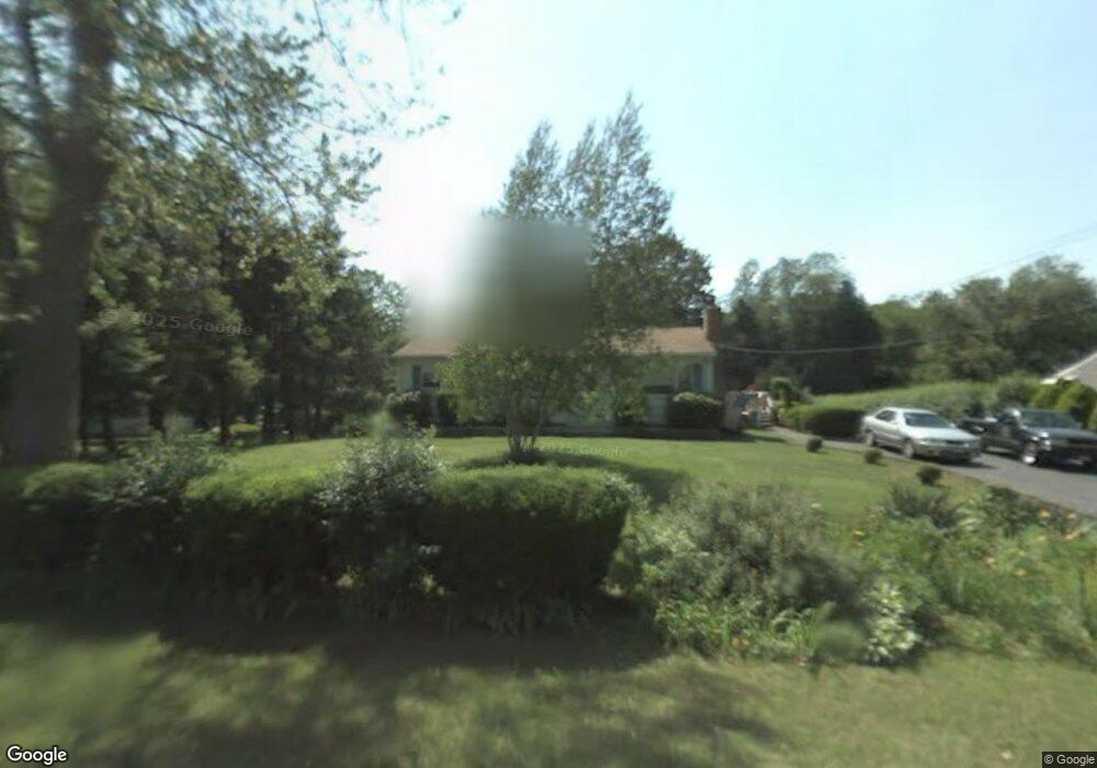
210 Mountain Rd Seymour, CT 06483
Estimated Value: $359,578 - $479,000
2
Beds
1
Bath
1,008
Sq Ft
$417/Sq Ft
Est. Value
About This Home
This home is located at 210 Mountain Rd, Seymour, CT 06483 and is currently estimated at $420,145, approximately $416 per square foot. 210 Mountain Rd is a home located in New Haven County with nearby schools including Bungay Elementary School, Seymour Middle School, and Seymour High School.
Ownership History
Date
Name
Owned For
Owner Type
Purchase Details
Closed on
Dec 30, 2020
Sold by
Andderson Robert J and Anderson Susdan E
Bought by
Anderson Aaron M and Anderson Brooke C
Current Estimated Value
Purchase Details
Closed on
Oct 14, 2014
Sold by
Soda David L and Soda William G
Bought by
Anderson Susan E and Anderson Robert J
Home Financials for this Owner
Home Financials are based on the most recent Mortgage that was taken out on this home.
Original Mortgage
$216,600
Interest Rate
4.1%
Purchase Details
Closed on
May 16, 2013
Sold by
Soda Edward and Soda Margaret
Bought by
Sada David L and Soda William G
Create a Home Valuation Report for This Property
The Home Valuation Report is an in-depth analysis detailing your home's value as well as a comparison with similar homes in the area
Home Values in the Area
Average Home Value in this Area
Purchase History
| Date | Buyer | Sale Price | Title Company |
|---|---|---|---|
| Anderson Aaron M | -- | None Available | |
| Anderson Susan E | $235,000 | -- | |
| Sada David L | -- | -- |
Source: Public Records
Mortgage History
| Date | Status | Borrower | Loan Amount |
|---|---|---|---|
| Previous Owner | Anderson Susan E | $216,600 |
Source: Public Records
Tax History
| Year | Tax Paid | Tax Assessment Tax Assessment Total Assessment is a certain percentage of the fair market value that is determined by local assessors to be the total taxable value of land and additions on the property. | Land | Improvement |
|---|---|---|---|---|
| 2025 | $5,874 | $211,890 | $47,040 | $164,850 |
| 2024 | $5,604 | $152,110 | $40,180 | $111,930 |
| 2023 | $5,473 | $152,110 | $40,180 | $111,930 |
| 2022 | $5,414 | $152,110 | $40,180 | $111,930 |
| 2021 | $5,280 | $152,110 | $40,180 | $111,930 |
| 2020 | $4,977 | $138,250 | $47,250 | $91,000 |
| 2019 | $4,977 | $138,250 | $47,250 | $91,000 |
| 2018 | $4,977 | $138,250 | $47,250 | $91,000 |
| 2017 | $4,977 | $138,250 | $47,250 | $91,000 |
| 2016 | $4,977 | $138,250 | $47,250 | $91,000 |
| 2015 | $4,789 | $138,460 | $49,630 | $88,830 |
| 2014 | $4,713 | $138,460 | $49,630 | $88,830 |
Source: Public Records
Map
Nearby Homes
- 106 Botsford Rd
- 132 Botsford Rd
- 25 Elaine Dr
- 22 Brookfield Rd
- 18 Forest St
- 181 Great Hill Rd
- 109 Davis Rd
- 24 Deer Run Dr
- 208 Bungay Rd
- 56 Great Hill Rd
- 43 Balance Rock Rd Unit 1
- 29 Balance Rock Rd Unit 5
- 42 Greenwood Cir
- 41 Balance Rock Rd Unit 16
- 57 Balance Rock Rd Unit 17
- 12 Great Meadow Rd
- 37-14, 49-1, 79-2, 7 Balance Rock Rd
- 75 Balance Rock Rd Unit 20
- 11 Poplar Dr
- 93 Balance Rock Rd Unit 1
Your Personal Tour Guide
Ask me questions while you tour the home.