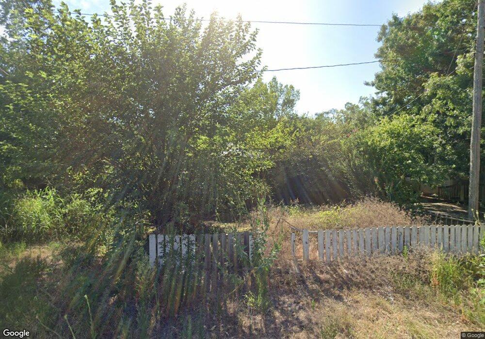
210 N 1st St Comanche, OK 73529
Estimated Value: $42,000 - $73,000
2
Beds
2
Baths
912
Sq Ft
$66/Sq Ft
Est. Value
About This Home
This home is located at 210 N 1st St, Comanche, OK 73529 and is currently estimated at $60,137, approximately $65 per square foot. 210 N 1st St is a home located in Stephens County with nearby schools including Comanche Elementary School, Comanche Middle School, and Comanche High School.
Ownership History
Date
Name
Owned For
Owner Type
Purchase Details
Closed on
Jun 10, 2024
Sold by
Stephens County
Current Estimated Value
Purchase Details
Closed on
Jul 31, 2006
Sold by
Anderlohr Robert and Anderlohr Gayle
Bought by
White Jerry L and White Jeanette
Purchase Details
Closed on
May 4, 2000
Sold by
Cloud Michael L and Cloud Karen
Purchase Details
Closed on
Oct 11, 1996
Sold by
Cuzzort Michael and Cuzzort Krista
Purchase Details
Closed on
Mar 6, 1995
Sold by
Davis Rita
Purchase Details
Closed on
Jul 17, 1992
Sold by
Steinke Karen D
Purchase Details
Closed on
Jul 2, 1992
Sold by
Hibbert Edna
Create a Home Valuation Report for This Property
The Home Valuation Report is an in-depth analysis detailing your home's value as well as a comparison with similar homes in the area
Purchase History
| Date | Buyer | Sale Price | Title Company |
|---|---|---|---|
| -- | $1,264 | None Listed On Document | |
| White Jerry L | $2,500 | None Available | |
| -- | $6,500 | -- | |
| -- | $3,500 | -- | |
| -- | $1,000 | -- | |
| -- | $2,000 | -- | |
| -- | $5,000 | -- |
Source: Public Records
Tax History
| Year | Tax Paid | Tax Assessment Tax Assessment Total Assessment is a certain percentage of the fair market value that is determined by local assessors to be the total taxable value of land and additions on the property. | Land | Improvement |
|---|---|---|---|---|
| 2025 | $97 | $1,116 | $100 | $1,016 |
| 2024 | $107 | $1,201 | $100 | $1,101 |
| 2023 | $107 | $2,024 | $88 | $1,936 |
| 2022 | $166 | $1,927 | $87 | $1,840 |
| 2021 | $169 | $1,835 | $86 | $1,749 |
| 2020 | $153 | $1,665 | $84 | $1,581 |
| 2019 | $153 | $1,586 | $76 | $1,510 |
| 2018 | $144 | $1,586 | $76 | $1,510 |
| 2017 | $120 | $1,510 | $69 | $1,441 |
| 2016 | $115 | $1,370 | $56 | $1,314 |
| 2015 | $95 | $1,305 | $51 | $1,254 |
| 2014 | $95 | $1,243 | $40 | $1,203 |
Source: Public Records
Map
Nearby Homes
- 0 Oklahoma 53
- 508 Wilson Ave
- 601 North Ave
- 612 Brown Ave
- 620 Clark Ave
- 703 Wilson Ave
- 311 S 6th St
- 303 N 8th St
- 281477 Doctor Pepper Rd
- Rt Rt 2
- 181259 N 2590 Rd
- 117 Seminole Dr
- 180163 Larue Dr
- 282096 Andrews Dr
- ? N 2800 Rd
- 181473 N 2850 Rd
- 179712 Ledford Ln
- 179520 Ledford Ln
- 182248 N 2790 Rd
- 183023 N 2790 Rd
Your Personal Tour Guide
Ask me questions while you tour the home.