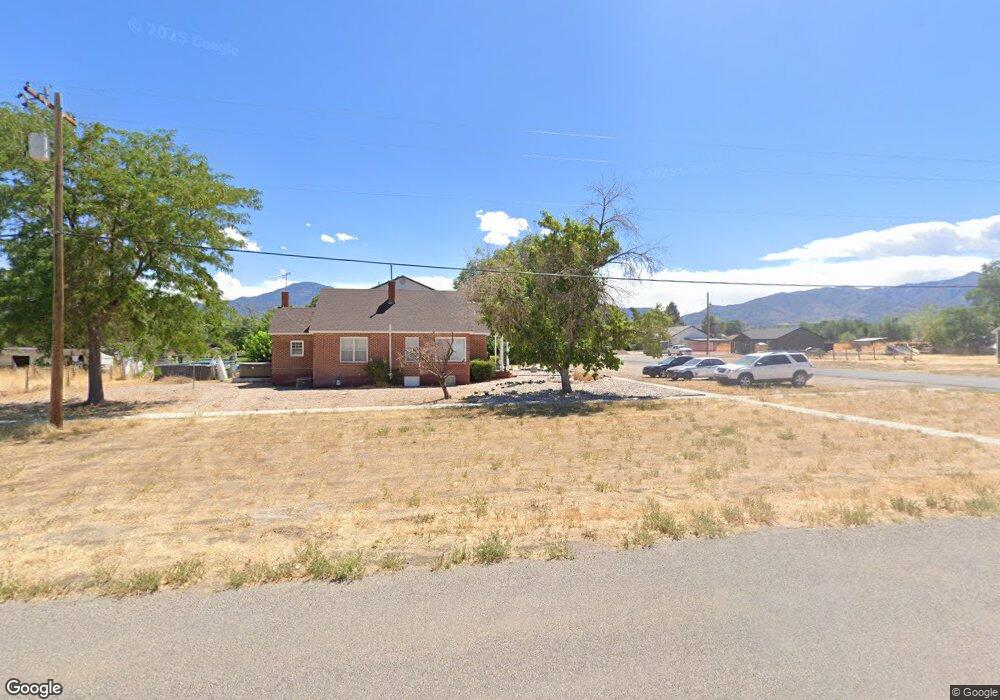
210 N 200 St W Fillmore, UT 84631
Estimated Value: $215,000
--
Bed
--
Bath
--
Sq Ft
0.53
Acres
About This Home
This home is located at 210 N 200 St W, Fillmore, UT 84631 and is currently estimated at $215,000. 210 N 200 St W is a home.
Ownership History
Date
Name
Owned For
Owner Type
Purchase Details
Closed on
Nov 21, 2006
Sold by
Hurst James Stephenson and Hurst Cecilia Mae Jackson
Bought by
Stephenson Dane M and Stephenson Andrea T
Current Estimated Value
Purchase Details
Closed on
Aug 24, 2006
Sold by
Stephenson Dane M and Stephenson Andrea T
Bought by
Stephenson Dane Mark and Stephenson Andrea T
Home Financials for this Owner
Home Financials are based on the most recent Mortgage that was taken out on this home.
Original Mortgage
$197,200
Interest Rate
6.67%
Mortgage Type
New Conventional
Create a Home Valuation Report for This Property
The Home Valuation Report is an in-depth analysis detailing your home's value as well as a comparison with similar homes in the area
Home Values in the Area
Average Home Value in this Area
Purchase History
| Date | Buyer | Sale Price | Title Company |
|---|---|---|---|
| Stephenson Dane M | -- | -- | |
| Stephenson Dane Mark | -- | -- |
Source: Public Records
Mortgage History
| Date | Status | Borrower | Loan Amount |
|---|---|---|---|
| Previous Owner | Stephenson Dane Mark | $197,200 |
Source: Public Records
Tax History Compared to Growth
Tax History
| Year | Tax Paid | Tax Assessment Tax Assessment Total Assessment is a certain percentage of the fair market value that is determined by local assessors to be the total taxable value of land and additions on the property. | Land | Improvement |
|---|---|---|---|---|
| 2025 | $2,612 | $336,321 | $20,412 | $315,909 |
| 2024 | $2,612 | $311,661 | $11,762 | $299,899 |
| 2023 | $3,189 | $311,661 | $11,762 | $299,899 |
| 2022 | $2,736 | $253,237 | $9,832 | $243,405 |
| 2021 | $1,626 | $143,780 | $8,201 | $135,579 |
| 2020 | $1,373 | $121,969 | $7,131 | $114,838 |
| 2019 | $1,357 | $121,321 | $6,483 | $114,838 |
| 2018 | $1,248 | $113,899 | $5,638 | $108,261 |
| 2017 | $1,240 | $107,941 | $5,638 | $102,303 |
| 2016 | $1,183 | $107,061 | $5,638 | $101,423 |
| 2015 | $1,183 | $107,061 | $5,638 | $101,423 |
| 2014 | -- | $107,061 | $5,638 | $101,423 |
| 2013 | -- | $107,061 | $5,638 | $101,423 |
Source: Public Records
Map
Nearby Homes
- 290 N 200 Rd E
- 700 W 1100 S
- 8300 N 3300 E
- 3700 W 5800 N
- 205 N 100 E
- 600 E 1200 St N
- 2155 N Cedar Mountain Rd
- 2835 N Cedar Mountain Rd
- 390 N 100 W
- 380 N 200 St W
- 335 W 400 North St
- 410 W 400 N
- 295 N 100 West St
- 400 W 2600 North St
- 165 N 100 W
- 225 W 200 St N
- 75 N 100 West St
- 40 S 100 Rd E
- 120 S 100 East Rd
- 430 E Canyon Rd