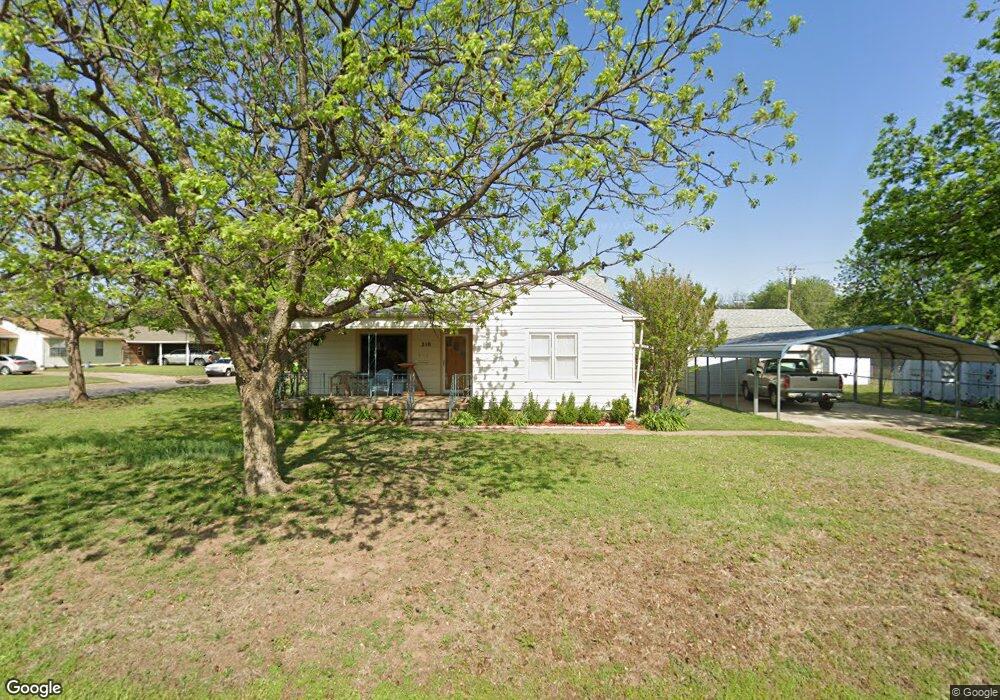
210 N 21st St Duncan, OK 73533
Estimated Value: $91,411 - $118,000
2
Beds
2
Baths
1,306
Sq Ft
$79/Sq Ft
Est. Value
About This Home
This home is located at 210 N 21st St, Duncan, OK 73533 and is currently estimated at $103,353, approximately $79 per square foot. 210 N 21st St is a home located in Stephens County with nearby schools including Mark Twain Elementary School, Duncan Middle School, and Duncan High School.
Ownership History
Date
Name
Owned For
Owner Type
Purchase Details
Closed on
Jul 5, 2012
Sold by
England Ervaline and England Ervaline
Bought by
Phillips Jason and Phillips Susan
Current Estimated Value
Home Financials for this Owner
Home Financials are based on the most recent Mortgage that was taken out on this home.
Original Mortgage
$60,863
Interest Rate
3.81%
Mortgage Type
Purchase Money Mortgage
Purchase Details
Closed on
Sep 3, 2004
Sold by
Hardt Danna and Hardt Mary
Purchase Details
Closed on
Aug 5, 2004
Sold by
Lavender Family Trust
Create a Home Valuation Report for This Property
The Home Valuation Report is an in-depth analysis detailing your home's value as well as a comparison with similar homes in the area
Home Values in the Area
Average Home Value in this Area
Purchase History
| Date | Buyer | Sale Price | Title Company |
|---|---|---|---|
| Phillips Jason | $60,000 | None Available | |
| -- | $45,000 | -- | |
| -- | -- | -- |
Source: Public Records
Mortgage History
| Date | Status | Borrower | Loan Amount |
|---|---|---|---|
| Closed | Phillips Jason | $60,863 |
Source: Public Records
Tax History Compared to Growth
Tax History
| Year | Tax Paid | Tax Assessment Tax Assessment Total Assessment is a certain percentage of the fair market value that is determined by local assessors to be the total taxable value of land and additions on the property. | Land | Improvement |
|---|---|---|---|---|
| 2025 | $508 | $6,259 | $713 | $5,546 |
| 2024 | $508 | $5,961 | $713 | $5,248 |
| 2023 | $508 | $5,961 | $713 | $5,248 |
| 2022 | $460 | $5,602 | $713 | $4,889 |
| 2021 | $454 | $5,332 | $713 | $4,619 |
| 2020 | $424 | $4,905 | $713 | $4,192 |
| 2019 | $432 | $4,995 | $713 | $4,282 |
| 2018 | $424 | $4,995 | $713 | $4,282 |
| 2017 | $389 | $4,530 | $713 | $3,817 |
| 2016 | $560 | $6,592 | $713 | $5,879 |
| 2015 | $344 | $6,592 | $713 | $5,879 |
| 2014 | $344 | $6,718 | $550 | $6,168 |
Source: Public Records
Map
Nearby Homes
- 2011 2011 W Oak Ave
- 2006 W Oak Ave
- 2108 Ave
- 210 N 22nd St
- 209 N 22nd St
- 174831 N 2844 Rd
- 201 N 23rd St
- 2110 W Main St
- 1812 W Walnut Ave
- 106 Emery Rd
- 2210 Western Dr
- 507 N Alice Dr
- 206 N 28th St
- 27 N 14th St
- 0 W Beech Ave
- 2206 2206 W Spruce
- 1309 W Beech Ave
- 2230 W Spruce St
- 210 210 N 31st St
- 2204 W Parkview Ave