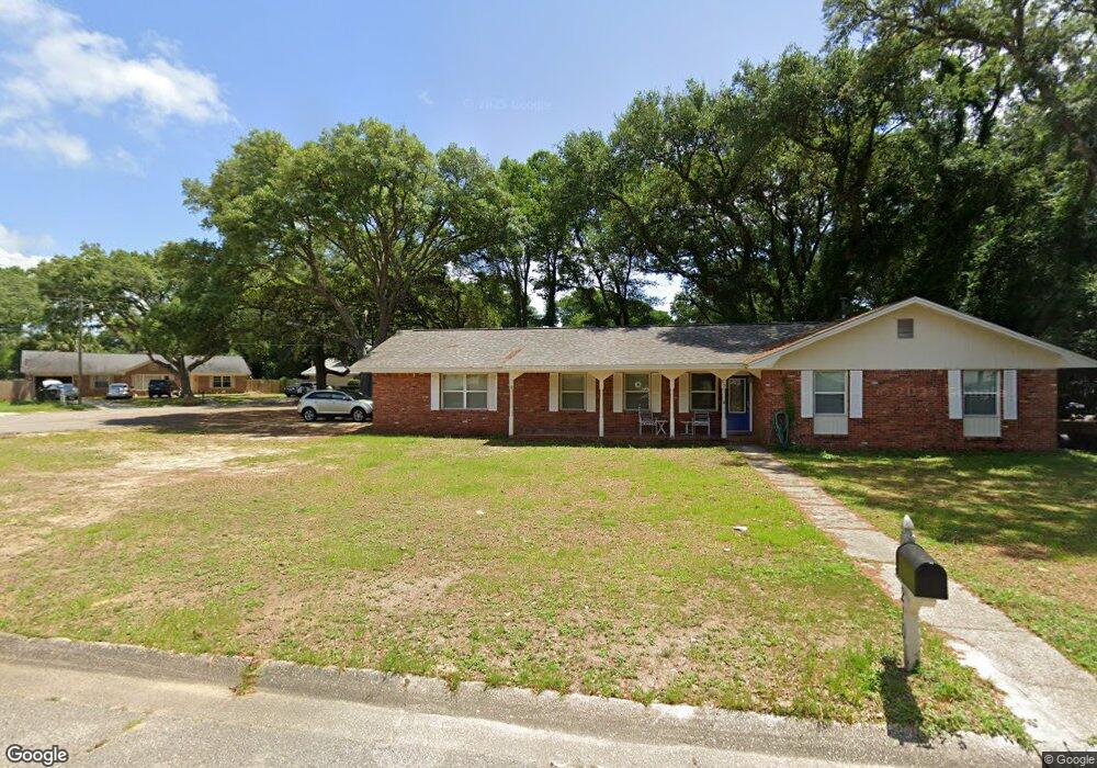
210 N 59th Ave Pensacola, FL 32506
Estimated Value: $204,000 - $259,000
--
Bed
2
Baths
1,674
Sq Ft
$142/Sq Ft
Est. Value
About This Home
This home is located at 210 N 59th Ave, Pensacola, FL 32506 and is currently estimated at $237,727, approximately $142 per square foot. 210 N 59th Ave is a home located in Escambia County with nearby schools including Myrtle Grove Elementary School, Warrington Middle School, and Escambia High School.
Ownership History
Date
Name
Owned For
Owner Type
Purchase Details
Closed on
Jun 25, 2004
Sold by
Woolley Robert C and Woolley Mary E
Bought by
Cox Jack L and Cox Laurie M
Current Estimated Value
Home Financials for this Owner
Home Financials are based on the most recent Mortgage that was taken out on this home.
Original Mortgage
$116,900
Outstanding Balance
$58,516
Interest Rate
6.25%
Mortgage Type
Purchase Money Mortgage
Estimated Equity
$179,211
Purchase Details
Closed on
Jan 15, 2004
Sold by
Soelzer C Maxwell and Hayes Joyce E
Bought by
Woolley Robert C and Woolley Mary E
Create a Home Valuation Report for This Property
The Home Valuation Report is an in-depth analysis detailing your home's value as well as a comparison with similar homes in the area
Home Values in the Area
Average Home Value in this Area
Purchase History
| Date | Buyer | Sale Price | Title Company |
|---|---|---|---|
| Cox Jack L | $116,900 | Security First Title Partner | |
| Woolley Robert C | $55,000 | -- |
Source: Public Records
Mortgage History
| Date | Status | Borrower | Loan Amount |
|---|---|---|---|
| Open | Cox Jack L | $116,900 |
Source: Public Records
Tax History Compared to Growth
Tax History
| Year | Tax Paid | Tax Assessment Tax Assessment Total Assessment is a certain percentage of the fair market value that is determined by local assessors to be the total taxable value of land and additions on the property. | Land | Improvement |
|---|---|---|---|---|
| 2024 | $1,038 | $108,799 | -- | -- |
| 2023 | $1,038 | $105,631 | $0 | $0 |
| 2022 | $1,007 | $102,555 | $0 | $0 |
| 2021 | $995 | $99,568 | $0 | $0 |
| 2020 | $972 | $98,194 | $0 | $0 |
| 2019 | $950 | $95,987 | $0 | $0 |
| 2018 | $945 | $94,198 | $0 | $0 |
| 2017 | $939 | $92,261 | $0 | $0 |
| 2016 | $924 | $90,364 | $0 | $0 |
| 2015 | $904 | $89,736 | $0 | $0 |
| 2014 | $892 | $89,024 | $0 | $0 |
Source: Public Records
Map
Nearby Homes
- 319 N 57th Ave
- 209 N 59th Ave
- 5391 Prieto Dr
- 306 N 58th Ave
- 307 N 57th Ave
- 307 N 59th Ave
- 5535 Mayfair Cir
- 5519 Mayfair Dr
- 6035 Schofield Dr
- 134 Lovett Place
- 6457 Myrtle Hill Cir
- 302 Teakwood Cir
- 316 S 61st Ave
- 6342 Lake Charlene Terrace
- 6020 W Jackson St
- 5500 Lynwood Rd
- 333 S 61st Ave Unit 6
- 333 S 61st Ave Unit 1
- 333 S 61st Ave Unit 8
- 27 Linda St
- 214 Strickland Place
- 206 N 59th Ave
- 218 Strickland Place
- 222 Strickland Place
- 317 N 57th Ave
- 202 N 59th Ave
- 321 N 57th Ave
- 315 N 57th Ave
- 227 N 59th Ave
- 201 N 59th Ave
- 5905 Strickland Place
- 323 N 57th Ave
- 5805 Kendall Ave
- 814816 N 59th Ave
- 5803 Kendall Ave
- 5906 Strickland Place
- 5907 Strickland Place
- 5901 Kendall Ave
- 325 N 57th Ave
- 5801 Kendall Ave