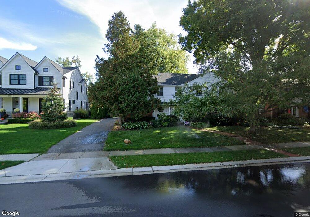
210 N Glenhurst Dr Bloomfield Hills, MI 48301
Estimated Value: $903,946 - $1,150,000
4
Beds
3
Baths
2,642
Sq Ft
$395/Sq Ft
Est. Value
About This Home
This home is located at 210 N Glenhurst Dr, Bloomfield Hills, MI 48301 and is currently estimated at $1,044,737, approximately $395 per square foot. 210 N Glenhurst Dr is a home located in Oakland County with nearby schools including Quarton Elementary, Derby Middle School, and Ernest W. Seaholm High School.
Ownership History
Date
Name
Owned For
Owner Type
Purchase Details
Closed on
Jul 16, 2007
Sold by
Goldberg Lynn and Bobrowski Lynn Goldberg
Bought by
Bobrowski John J
Current Estimated Value
Home Financials for this Owner
Home Financials are based on the most recent Mortgage that was taken out on this home.
Original Mortgage
$511,000
Outstanding Balance
$325,512
Interest Rate
6.87%
Mortgage Type
Purchase Money Mortgage
Estimated Equity
$719,225
Purchase Details
Closed on
Aug 5, 1999
Sold by
Pinc Bruce W
Bought by
Bobrowski John J
Create a Home Valuation Report for This Property
The Home Valuation Report is an in-depth analysis detailing your home's value as well as a comparison with similar homes in the area
Home Values in the Area
Average Home Value in this Area
Purchase History
| Date | Buyer | Sale Price | Title Company |
|---|---|---|---|
| Bobrowski John J | -- | Title Source Inc | |
| Bobrowski John J | $532,000 | -- |
Source: Public Records
Mortgage History
| Date | Status | Borrower | Loan Amount |
|---|---|---|---|
| Open | Bobrowski John J | $511,000 |
Source: Public Records
Tax History Compared to Growth
Tax History
| Year | Tax Paid | Tax Assessment Tax Assessment Total Assessment is a certain percentage of the fair market value that is determined by local assessors to be the total taxable value of land and additions on the property. | Land | Improvement |
|---|---|---|---|---|
| 2024 | $5,770 | $401,710 | $0 | $0 |
| 2023 | $5,537 | $361,760 | $0 | $0 |
| 2022 | $9,763 | $326,460 | $0 | $0 |
| 2021 | $9,844 | $344,210 | $0 | $0 |
| 2020 | $5,319 | $338,430 | $0 | $0 |
| 2019 | $9,814 | $335,800 | $0 | $0 |
| 2018 | $9,816 | $314,430 | $0 | $0 |
| 2017 | $10,269 | $293,640 | $0 | $0 |
| 2016 | $9,765 | $271,020 | $0 | $0 |
| 2015 | -- | $259,280 | $0 | $0 |
| 2014 | -- | $251,550 | $0 | $0 |
| 2011 | -- | $219,800 | $0 | $0 |
Source: Public Records
Map
Nearby Homes
- 120 Westchester Way
- 345 Kimberly St
- 1834 Fairview St
- 394 S Glenhurst Dr
- 1882 Melbourne St
- 586 Fairfax St
- 222 Arlington St
- 520 Pleasant St
- 695 Westchester Way
- 397 S Cranbrook Rd
- 956 Westwood Dr
- 1019 N Cranbrook Rd
- 2579 Amberly Rd
- 329 Linden Rd
- 1120 Lyonhurst St
- 999 Pleasant Ave
- 1260 Lyonhurst St
- 1056 Pilgrim Ave
- 592 Lakeside Dr
- 633 Hawthorne St
- 188 N Glenhurst Dr
- 240 N Glenhurst Dr
- 166 N Glenhurst Dr
- 256 N Glenhurst Dr
- 211 N Glenhurst Dr
- 239 N Glenhurst Dr
- 189 N Glenhurst Dr
- 140 N Glenhurst Dr
- 169 N Glenhurst Dr
- 280 N Glenhurst Dr
- 261 N Glenhurst Dr
- 1939 Fairview St
- 120 N Glenhurst Dr
- 212 Westwood Dr Unit Bldg-Unit
- 212 Westwood Dr
- 2048 W Maple Rd
- 230 Westwood Dr
- 1923 Fairview St Unit Bldg-Unit
- 1923 Fairview St
- 168 Westwood Dr