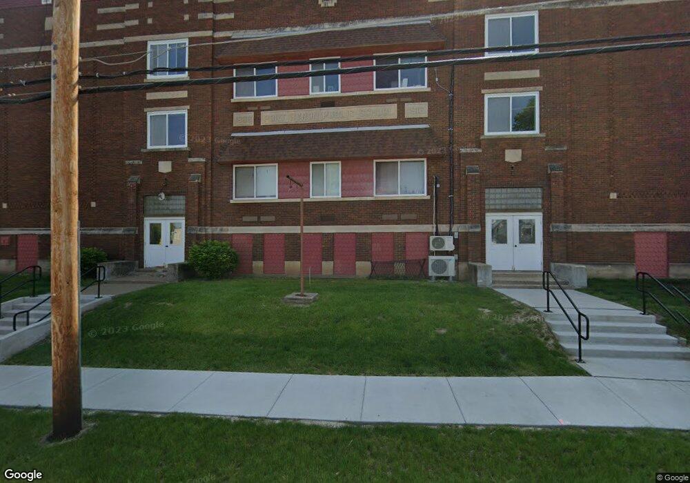
210 N High St Port Byron, IL 61275
1
Bed
1
Bath
650
Sq Ft
0.7
Acres
About This Home
This home is located at 210 N High St, Port Byron, IL 61275. 210 N High St is a home located in Rock Island County with nearby schools including Riverdale Elementary School, Riverdale Middle School, and Riverdale Senior High School.
Create a Home Valuation Report for This Property
The Home Valuation Report is an in-depth analysis detailing your home's value as well as a comparison with similar homes in the area
Home Values in the Area
Average Home Value in this Area
Tax History Compared to Growth
Tax History
| Year | Tax Paid | Tax Assessment Tax Assessment Total Assessment is a certain percentage of the fair market value that is determined by local assessors to be the total taxable value of land and additions on the property. | Land | Improvement |
|---|---|---|---|---|
| 2024 | $16,177 | $213,277 | $18,357 | $194,920 |
| 2023 | $16,177 | $195,667 | $16,841 | $178,826 |
| 2022 | $13,603 | $172,831 | $16,062 | $156,769 |
| 2021 | $13,303 | $163,821 | $15,225 | $148,596 |
| 2020 | $13,105 | $161,400 | $15,000 | $146,400 |
| 2019 | $13,145 | $161,400 | $15,000 | $146,400 |
| 2018 | $9,914 | $123,875 | $10,498 | $113,377 |
| 2017 | $9,767 | $123,875 | $10,498 | $113,377 |
| 2016 | $9,680 | $122,165 | $10,353 | $111,812 |
| 2015 | $9,504 | $118,838 | $10,071 | $108,767 |
| 2014 | $2,014 | $118,838 | $10,071 | $108,767 |
| 2013 | $2,014 | $118,838 | $10,071 | $108,767 |
Source: Public Records
Map
Nearby Homes