210 N Main St Unit 5 Raynham, MA 02767
Estimated Value: $191,000 - $343,000
2
Beds
1
Bath
812
Sq Ft
$337/Sq Ft
Est. Value
About This Home
This home is located at 210 N Main St Unit 5, Raynham, MA 02767 and is currently estimated at $273,735, approximately $337 per square foot. 210 N Main St Unit 5 is a home located in Bristol County with nearby schools including Merrill Elementary School, LaLiberte Elementary School, and Williams Intermediate School.
Ownership History
Date
Name
Owned For
Owner Type
Purchase Details
Closed on
Feb 1, 2000
Sold by
Taylor Myra A
Bought by
Grenon Jennifer M
Current Estimated Value
Purchase Details
Closed on
Jun 1, 1998
Sold by
Sullivan Brian M
Bought by
Taylor Myra A
Home Financials for this Owner
Home Financials are based on the most recent Mortgage that was taken out on this home.
Original Mortgage
$36,000
Interest Rate
7.12%
Mortgage Type
Purchase Money Mortgage
Purchase Details
Closed on
Jul 30, 1993
Sold by
Rtc
Bought by
Sullivan Brian M
Home Financials for this Owner
Home Financials are based on the most recent Mortgage that was taken out on this home.
Original Mortgage
$20,250
Interest Rate
7.32%
Mortgage Type
Purchase Money Mortgage
Create a Home Valuation Report for This Property
The Home Valuation Report is an in-depth analysis detailing your home's value as well as a comparison with similar homes in the area
Home Values in the Area
Average Home Value in this Area
Purchase History
| Date | Buyer | Sale Price | Title Company |
|---|---|---|---|
| Grenon Jennifer M | $58,900 | -- | |
| Taylor Myra A | $45,000 | -- | |
| Sullivan Brian M | $22,500 | -- |
Source: Public Records
Mortgage History
| Date | Status | Borrower | Loan Amount |
|---|---|---|---|
| Previous Owner | Sullivan Brian M | $36,000 | |
| Previous Owner | Sullivan Brian M | $20,250 |
Source: Public Records
Tax History
| Year | Tax Paid | Tax Assessment Tax Assessment Total Assessment is a certain percentage of the fair market value that is determined by local assessors to be the total taxable value of land and additions on the property. | Land | Improvement |
|---|---|---|---|---|
| 2025 | $1,534 | $126,800 | $0 | $126,800 |
| 2024 | $1,473 | $118,600 | $0 | $118,600 |
| 2023 | $1,370 | $100,700 | $0 | $100,700 |
| 2022 | $1,373 | $92,600 | $0 | $92,600 |
| 2021 | $1,360 | $92,600 | $0 | $92,600 |
| 2020 | $1,295 | $89,900 | $0 | $89,900 |
| 2019 | $1,279 | $89,900 | $0 | $89,900 |
| 2018 | $1,153 | $77,400 | $0 | $77,400 |
| 2017 | $1,342 | $89,300 | $0 | $89,300 |
| 2016 | $1,272 | $84,900 | $0 | $84,900 |
| 2015 | $1,212 | $79,500 | $0 | $79,500 |
Source: Public Records
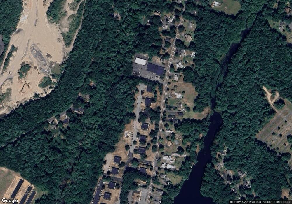
Map
Nearby Homes
- 4-B High Ridge Dr
- 21 Sully Rd
- 68 Michael Rd
- 30 Edward Rd
- 2 Maplewood Ln Unit 21-1
- 0 Maplewood Unit 21.3 73426136
- 84 Diniz Dr
- 36 Stony Brook Rd
- 173 Titicut Rd
- 208 S Main St
- 152 Forgeriver
- 53 Queens Cir
- 123 Center St
- 0 Cape Highway Route 44 Unit 73474847
- 5 Parcels Cape Highway Route 44
- 0 S Main St Unit 73443212
- 634 Broadway
- 646 Broadway
- 935 King St
- 52 Ward St
- 210 N Main St Unit 8
- 210 N Main St Unit 7
- 210 N Main St Unit 6
- 210 N Main St Unit 4
- 210 N Main St Unit 3
- 210 N Main St Unit 2
- 210 N Main St Unit 1
- 210 8 N Main St Unit 210
- 198 N Main St Unit 8
- 198 N Main St Unit 7
- 198 N Main St Unit 6
- 198 N Main St Unit 5
- 198 N Main St Unit 4
- 198 N Main St Unit 3
- 198 N Main St Unit 2
- 198 N Main St Unit 1
- 224 N Main St Unit 8
- 224 N Main St Unit 7
- 224 N Main St Unit 6
- 224 N Main St Unit 5