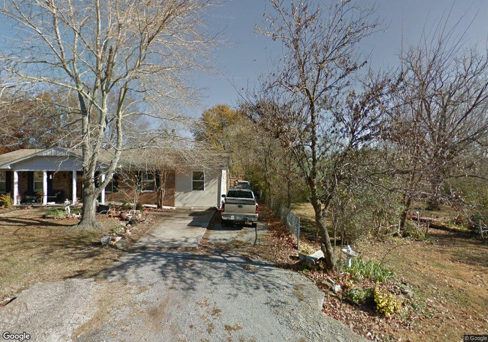
210 National Blvd Fort Gibson, OK 74434
Estimated Value: $197,254 - $211,000
3
Beds
2
Baths
1,500
Sq Ft
$135/Sq Ft
Est. Value
About This Home
This home is located at 210 National Blvd, Fort Gibson, OK 74434 and is currently estimated at $202,314, approximately $134 per square foot. 210 National Blvd is a home located in Muskogee County with nearby schools including Fort Gibson Early Learning Center, Fort Gibson Intermediate Elementary School, and Fort Gibson Middle School.
Ownership History
Date
Name
Owned For
Owner Type
Purchase Details
Closed on
Feb 15, 2000
Current Estimated Value
Create a Home Valuation Report for This Property
The Home Valuation Report is an in-depth analysis detailing your home's value as well as a comparison with similar homes in the area
Home Values in the Area
Average Home Value in this Area
Purchase History
| Date | Buyer | Sale Price | Title Company |
|---|---|---|---|
| -- | -- | -- |
Source: Public Records
Tax History Compared to Growth
Tax History
| Year | Tax Paid | Tax Assessment Tax Assessment Total Assessment is a certain percentage of the fair market value that is determined by local assessors to be the total taxable value of land and additions on the property. | Land | Improvement |
|---|---|---|---|---|
| 2024 | $786 | $10,115 | $824 | $9,291 |
| 2023 | $786 | $10,115 | $807 | $9,308 |
| 2022 | $725 | $9,820 | $794 | $9,026 |
| 2021 | $702 | $9,256 | $770 | $8,486 |
| 2020 | $707 | $9,256 | $770 | $8,486 |
| 2019 | $712 | $9,256 | $770 | $8,486 |
| 2018 | $696 | $9,256 | $770 | $8,486 |
| 2017 | $662 | $8,719 | $770 | $7,949 |
| 2016 | $689 | $8,719 | $770 | $7,949 |
| 2015 | $680 | $8,601 | $770 | $7,831 |
| 2014 | $660 | $8,351 | $770 | $7,581 |
Source: Public Records
Map
Nearby Homes
- 313 S Meigs St
- 121 N Meigs St
- 105 N Firecracker Ln
- 602 Cemetery Rd
- 301 E Poplar St
- 125 E Walnut St
- 308 N East St
- 305 E Hickory Ave
- 1412 Dexter St
- 1412 Richmond Dr
- 1100 Hwy 10e
- W 805 Rd
- 302 S Scott St
- 607 Sterling Hill Dr
- 608 N Lee St
- 616 W Hickory Ave
- 513 Beauregard St
- 212 N Scott St
- 608 E Irving
- 604 Irving St
- 206 National Blvd
- 214 National Blvd
- 218 National Blvd
- 205 National Blvd
- 213 National Blvd
- 206 National Blvd
- 205 Capitol St
- 217 National Blvd
- 215 National Blvd
- 209 National Blvd
- 213 National Blvd
- 205 Capitol St
- 201 Capitol St
- 204 Capitol St
- 208 Capitol St
- 206 Ross Ave
- 210 Ross Ave
- 300 National Blvd
- 218 Ross Ave