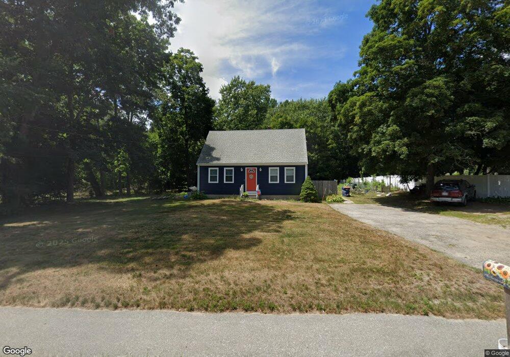
210 Newman Ave Seekonk, MA 02771
Estimated Value: $369,000 - $505,000
3
Beds
1
Bath
1,344
Sq Ft
$335/Sq Ft
Est. Value
About This Home
This home is located at 210 Newman Ave, Seekonk, MA 02771 and is currently estimated at $450,214, approximately $334 per square foot. 210 Newman Ave is a home located in Bristol County with nearby schools including Seekonk High School, St Margaret School, and The Wolf School.
Ownership History
Date
Name
Owned For
Owner Type
Purchase Details
Closed on
Oct 16, 1996
Sold by
Brierley Dorothy M
Bought by
Bartlett Michael R and Bartlett Sandra A
Current Estimated Value
Home Financials for this Owner
Home Financials are based on the most recent Mortgage that was taken out on this home.
Original Mortgage
$120,100
Outstanding Balance
$11,194
Interest Rate
8.26%
Mortgage Type
Purchase Money Mortgage
Estimated Equity
$439,020
Create a Home Valuation Report for This Property
The Home Valuation Report is an in-depth analysis detailing your home's value as well as a comparison with similar homes in the area
Home Values in the Area
Average Home Value in this Area
Purchase History
| Date | Buyer | Sale Price | Title Company |
|---|---|---|---|
| Bartlett Michael R | $122,000 | -- |
Source: Public Records
Mortgage History
| Date | Status | Borrower | Loan Amount |
|---|---|---|---|
| Open | Bartlett Michael R | $120,100 | |
| Previous Owner | Bartlett Michael R | $52,000 |
Source: Public Records
Tax History Compared to Growth
Tax History
| Year | Tax Paid | Tax Assessment Tax Assessment Total Assessment is a certain percentage of the fair market value that is determined by local assessors to be the total taxable value of land and additions on the property. | Land | Improvement |
|---|---|---|---|---|
| 2025 | $4,172 | $337,800 | $151,000 | $186,800 |
| 2024 | $4,006 | $324,400 | $151,000 | $173,400 |
| 2023 | $3,770 | $287,600 | $135,400 | $152,200 |
| 2022 | $3,478 | $260,700 | $131,000 | $129,700 |
| 2021 | $3,215 | $236,900 | $110,600 | $126,300 |
| 2020 | $3,065 | $232,700 | $110,500 | $122,200 |
| 2019 | $3,000 | $229,700 | $110,500 | $119,200 |
| 2018 | $2,953 | $221,200 | $106,500 | $114,700 |
| 2017 | $2,901 | $215,500 | $106,500 | $109,000 |
| 2016 | $2,819 | $210,200 | $106,500 | $103,700 |
| 2015 | $2,740 | $207,100 | $106,500 | $100,600 |
Source: Public Records
Map
Nearby Homes
- 188 Newman Ave
- 243 West Ave
- 282 West Ave
- 50 Dexter Ave
- 181 Sherman Ave
- 224 Arcade Ave
- 27 Gertrude Ave
- 24 Morra Way
- 60 West Dr
- 63 East Dr
- 0 Patterson St Unit 73348933
- 25 East Dr
- 15 East Dr
- 136 Hoyt Ave
- 0 Newman Ave Rear
- 16 Elm Ave
- 91 Seabiscuit Place
- 12 Arthur St
- 724 Beverage Hill Ave Unit 302
- 8 Pine Grove St
- 206 Newman Ave
- 226 Newman Ave
- 188 Newman Ave Unit 3
- 203 Newman Ave
- 213 Newman Ave
- 238 Newman Ave
- 241 Newman Ave
- 193 Newman Ave
- 33 Blaney Cir
- 25 Blaney Cir
- 0 Woodward Ave
- 0 Woodward Ave Unit 71761471
- 6 Birch St
- 184 Newman Ave
- 248 Newman Ave
- 26 Woodward Ave
- 15 Woodward Ave
- 8 Birch St
- 8 Birch St Unit n/a
- 247 Newman Ave